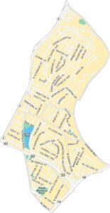
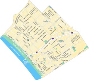
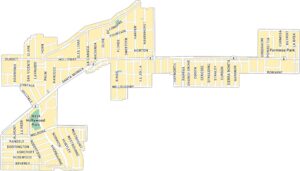
Mar Vista Map, Los Angeles
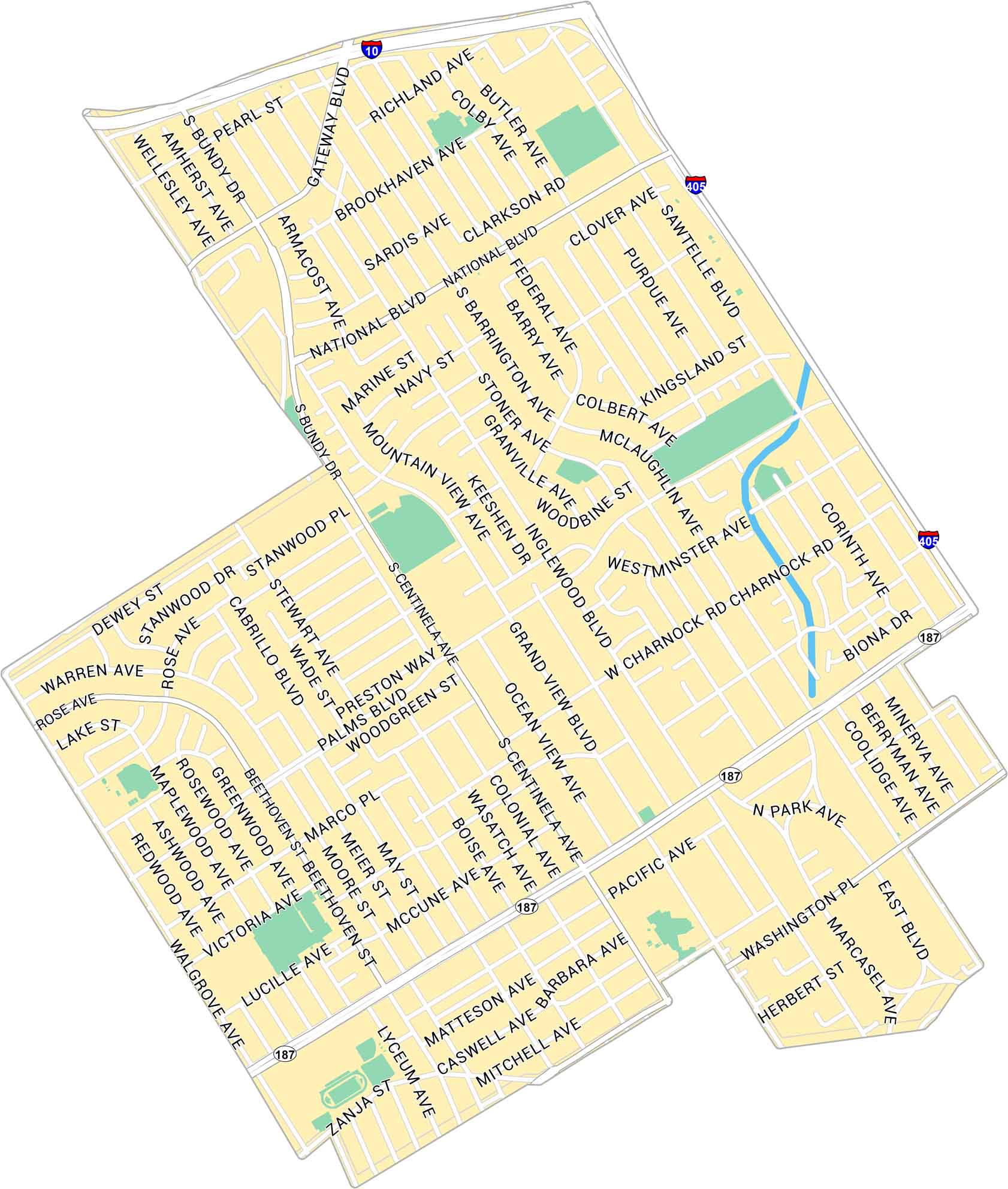
Our map of Mar Vista shows the Westside neighborhood between Venice and the San Diego Freeway. It highlights main streets, local parks, and nearby routes to the beach.
Map Information
On the Map
Interstates/Highways: I-10, I-405, State Rte 187 Major Roads: Venice Blvd, Washington Blvd, Centinala Ave, National Blvd, Sawtelle Blvd, Bundy Dr, Inglewood Blvd, Grand View Ave, Ocean View Ave, Walgrove Ave, Gateway Blvd, Rose Ave, Palms Blvd, McLaughlin Ave, Federal Ave, Barrington Ave, Stoner Ave, Granville Ave, Beethoven St, Pacific AveLos Angeles Neighborhood Maps
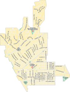
See our neighborhood maps for a closer look of the city.
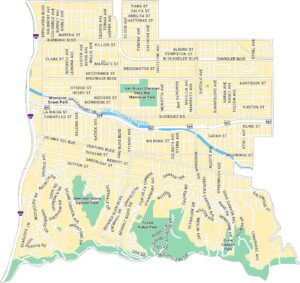
California City Maps
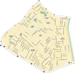
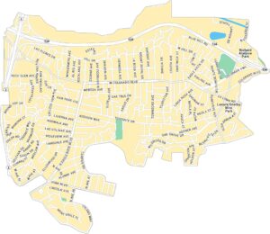
Here are detailed maps of California


