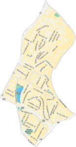
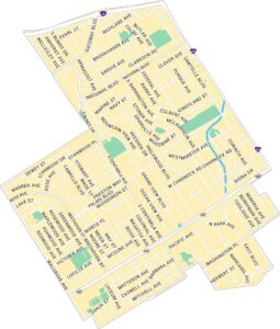
Santa Monica Map, Los Angeles
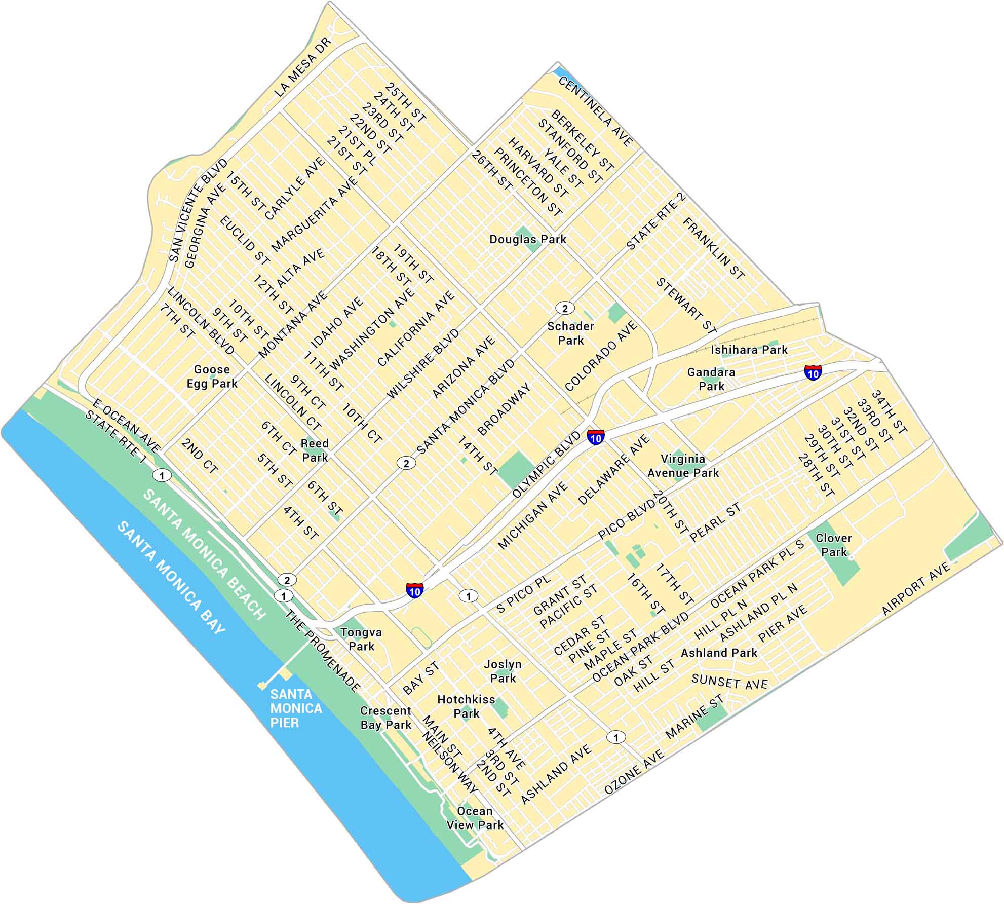
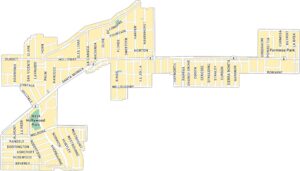
Santa Monica stretches along Santa Monica Bay, part of the Pacific Ocean. Our map shows its downtown roads, the famous pier, and Ocean Avenue running beside the coast. It’s a mix of surf and sunshine at the edge of Los Angeles.
Map Information
On the Map
Interstates/Highways: I-10, State Rte 1, State Rte 2 Major Roads: Wilshire Blvd, Santa Monica Blvd, Broadway, Colorado Ave, Olympic Blvd, Pico Blvd, Ocean Ave, Lincoln Blvd, Main St, 26th St, 20th St, 14th St, 7th St, 4th St, Montana Ave, San Vicente Blvd, Marine St, Ashland Ave, Pearl St, Ocean Park Blvd Waterways/Rivers: Santa Monica Bay Parks: Douglas Park, Schader Park, Gandara Park, Ishihara Park, Virginia Avenue Park, Clover Park, Joslyn Park, Hotchkiss Park, Crescent Bay Park, Tongva Park, Reed Park, Goose Egg Park Landmarks: Santa Monica Pier, Santa Monica BeachLos Angeles Neighborhood Maps
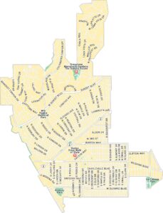
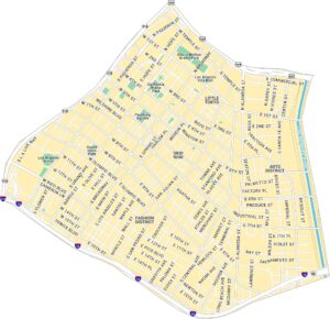
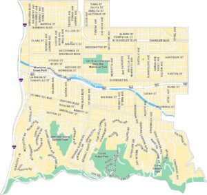
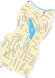
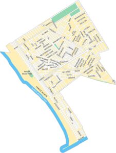
See our neighborhood maps for a closer look of the city.
California City Maps
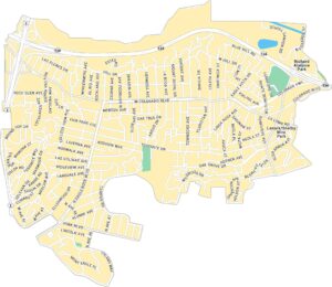
Here are detailed maps of California


