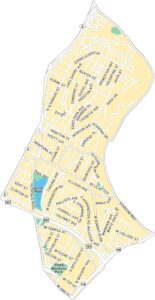
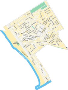
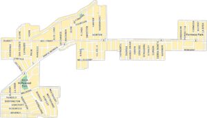
Silver Lake Map, Los Angeles
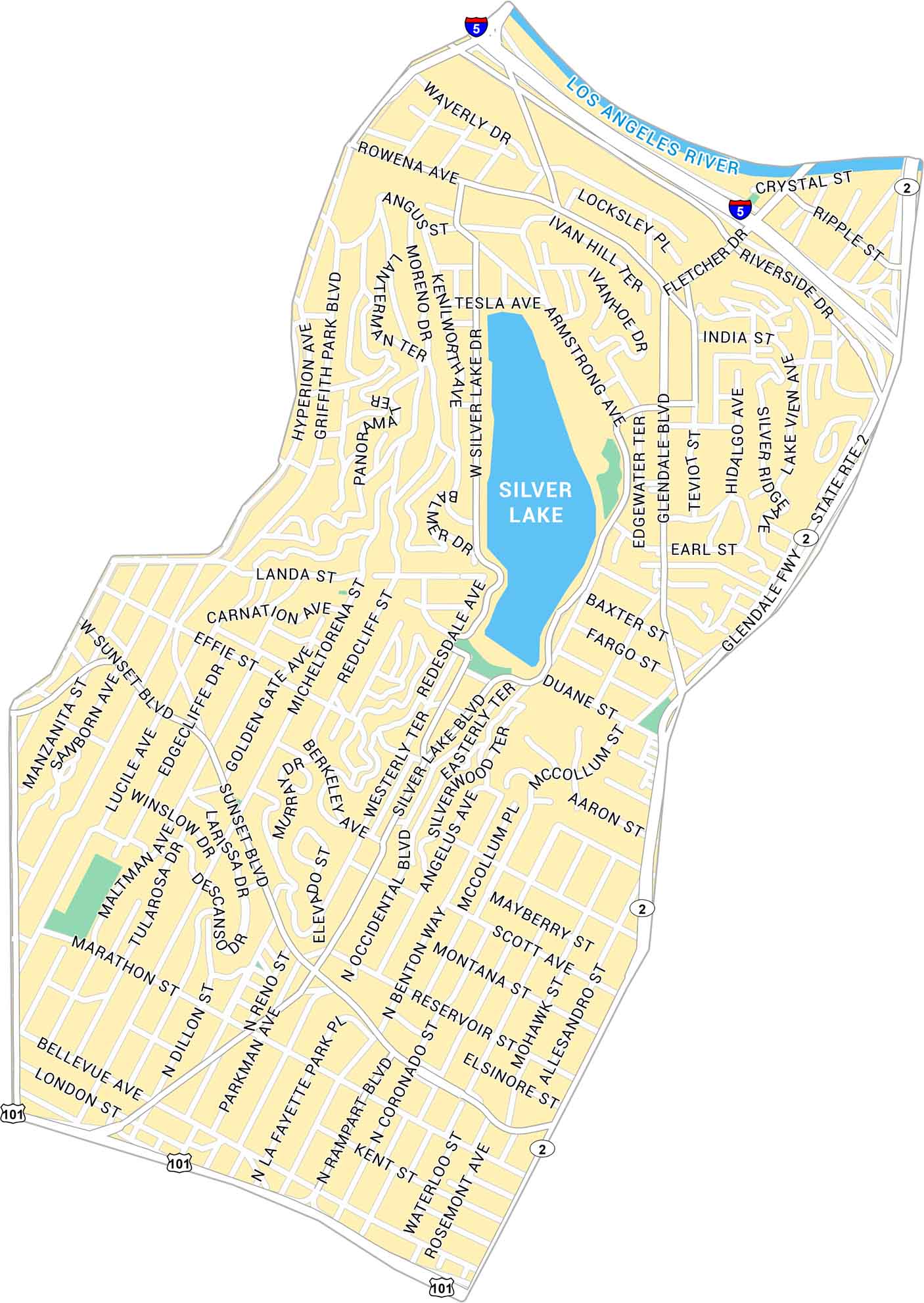
Silver Lake is one of Los Angeles’ most defining neighborhoods. It’s where winding streets wrap around its namesake reservoir. Our map shows the parks, highways and lively stretches of Sunset Boulevard.
Map Information
On the Map
Interstates/Highways: I-5, US Hwy 101, State Rte 2 Major Roads: Sunset Blvd, Glendale Blvd, Hyperion Ave, Silver Lake Blvd, Rowena Ave, Fletcher Dr, Riverside Dr, Waverly Dr, Alessandro St, Alvarado St, Rampart Blvd, Benton Way, Occidental Blvd, Micheltorena St, Griffith Park Blvd, Golden Gate Ave, Effie St, Myra Ave, Fountain Ave, Bellevue Ave Waterbodies/Rivers: Silver Lake, Los Angeles RiverLos Angeles Neighborhood Maps
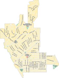
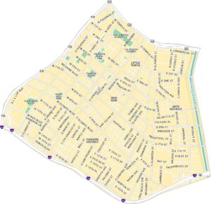
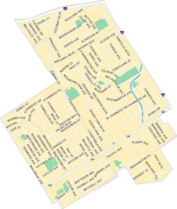
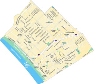
See our neighborhood maps for a closer look of the city.
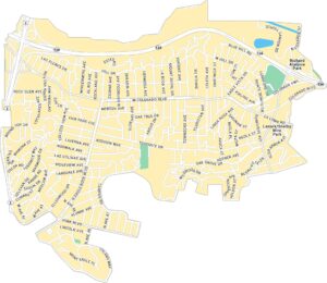
California City Maps
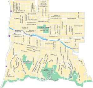
Here are detailed maps of California


