South End Map, Boston
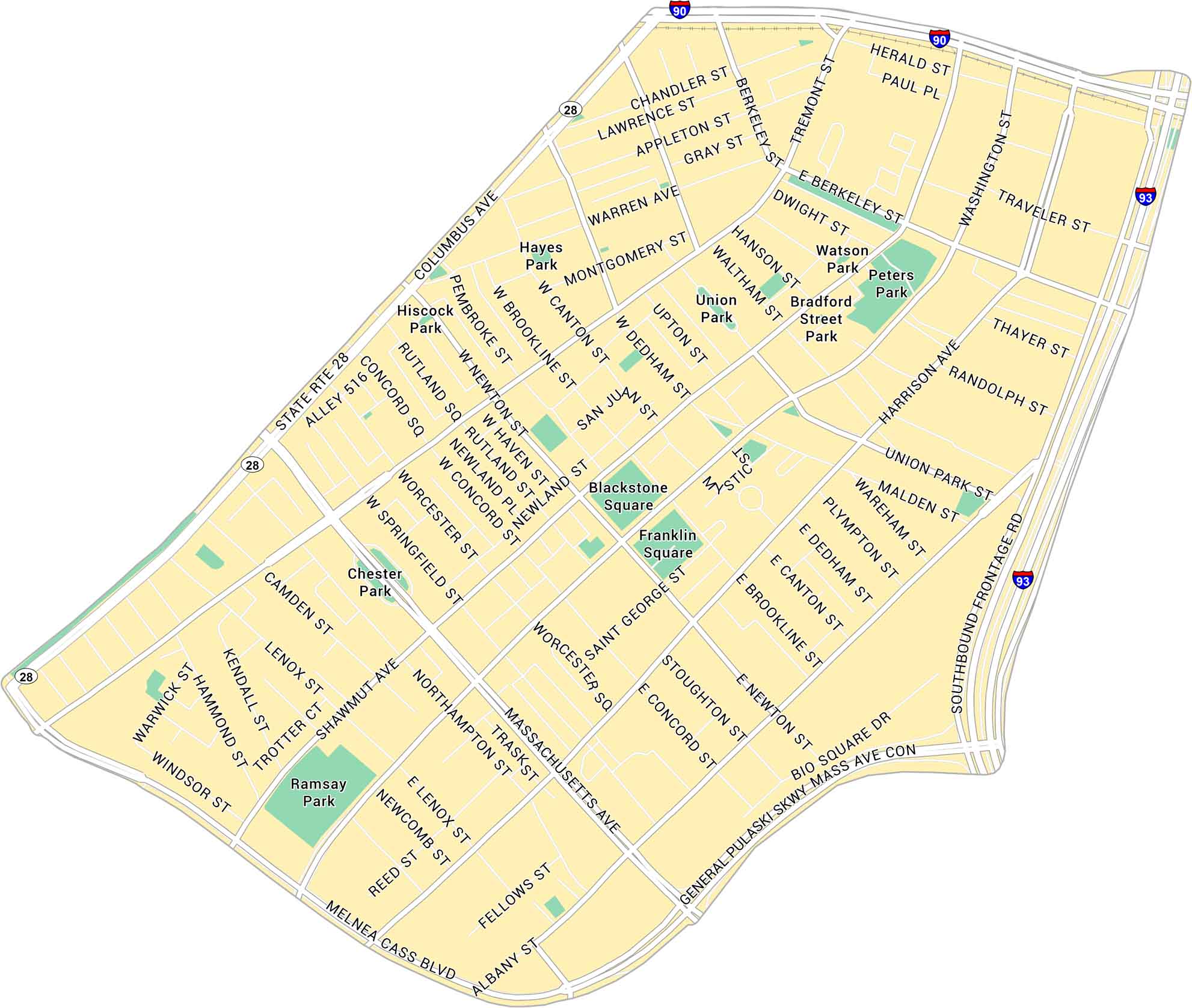
The South End is one of Boston’s most distinctive neighborhoods. Our map shows its parks, highways and streets stretching between Tremont Street and Massachusetts Avenue. It’s historic but lively for everyday city life.
Map Information
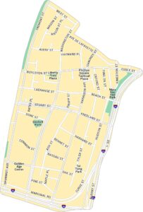
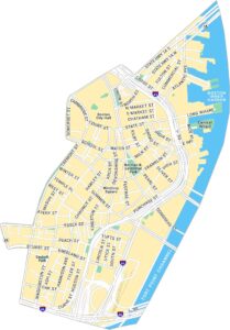
Boston Neighborhood Maps
See our neighborhood maps for a closer look of the city.
On the Map
Interstates/Highways: I-93, I-90, State Rte 28 Major Roads: Massachusetts Ave, Columbus Ave, Tremont St, Harrison Ave, Albany St, Melnea Cass Blvd, Washington St, Berkeley St, Herald St, E Berkeley St, W Springfield St, Worcester St, W Newton St, W Brookline St, W Canton St, W Dedham St, Upton St, Union Park St, E Dedham St, E Canton St Parks: Blackstone Square, Franklin Square, Union Park, Ramsay Park, Chester Park, Hayes Park, Hiscock Park, Watson Park, Peters Park, Bradford Street ParkMassachusetts State Maps
Here’s our state maps of Massachusetts


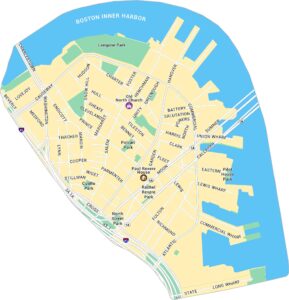
City Maps of Massachusetts
Explore Boston and other urban areas in Massachusetts


