Chinatown Map, Boston
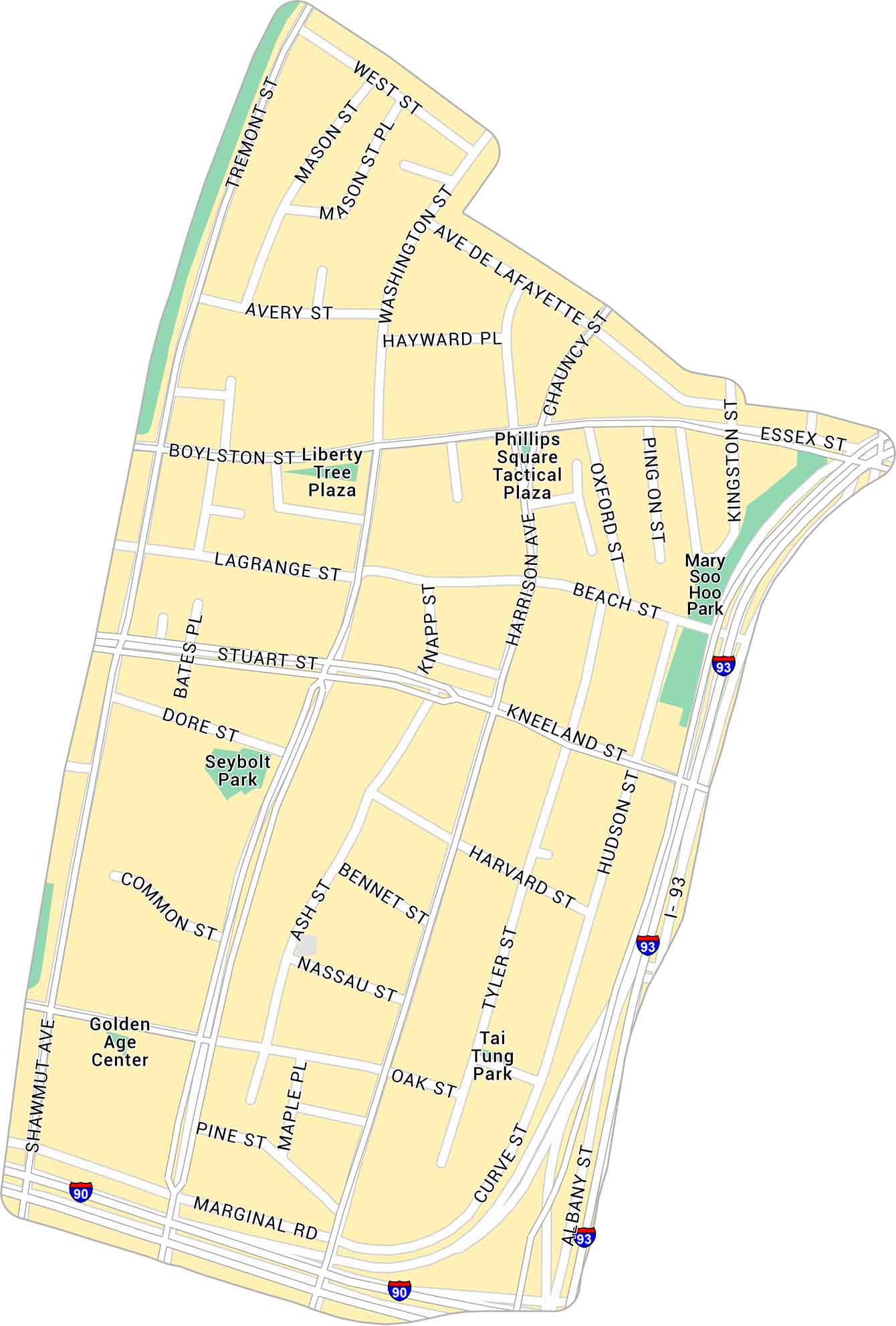
Take a look at our map of Chinatown, one of Boston’s most historic neighborhoods. It details the compact streets, highways, and parks.
Map Information
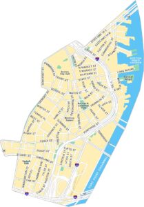
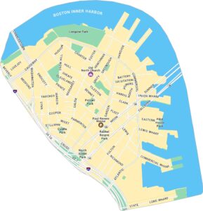
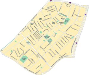
Boston Neighborhood Maps
See our neighborhood maps for a closer look of the city.
On the Map
Interstates/Highways: I-93, I-90 Major Roads: Washington St, Kneeland St, Boylston St, Tremont St, Essex St, Stuart St, Harrison Ave, Hudson St, Tyler St, Albany St, Marginal Rd, Herald St, Common St, Oak St, Nassau St, Bennet St, Harvard St, Beach St, Lagrange St, Avery St Parks: Seybolt Park, Tai Tung Park, Mary Soo Hoo Park, Liberty Tree Plaza, Phillips Square Tactical Plaza Landmarks: Golden Age CenterCity Maps of Massachusetts
Explore Boston and other urban areas in Massachusetts


