Map of Wooster, Ohio
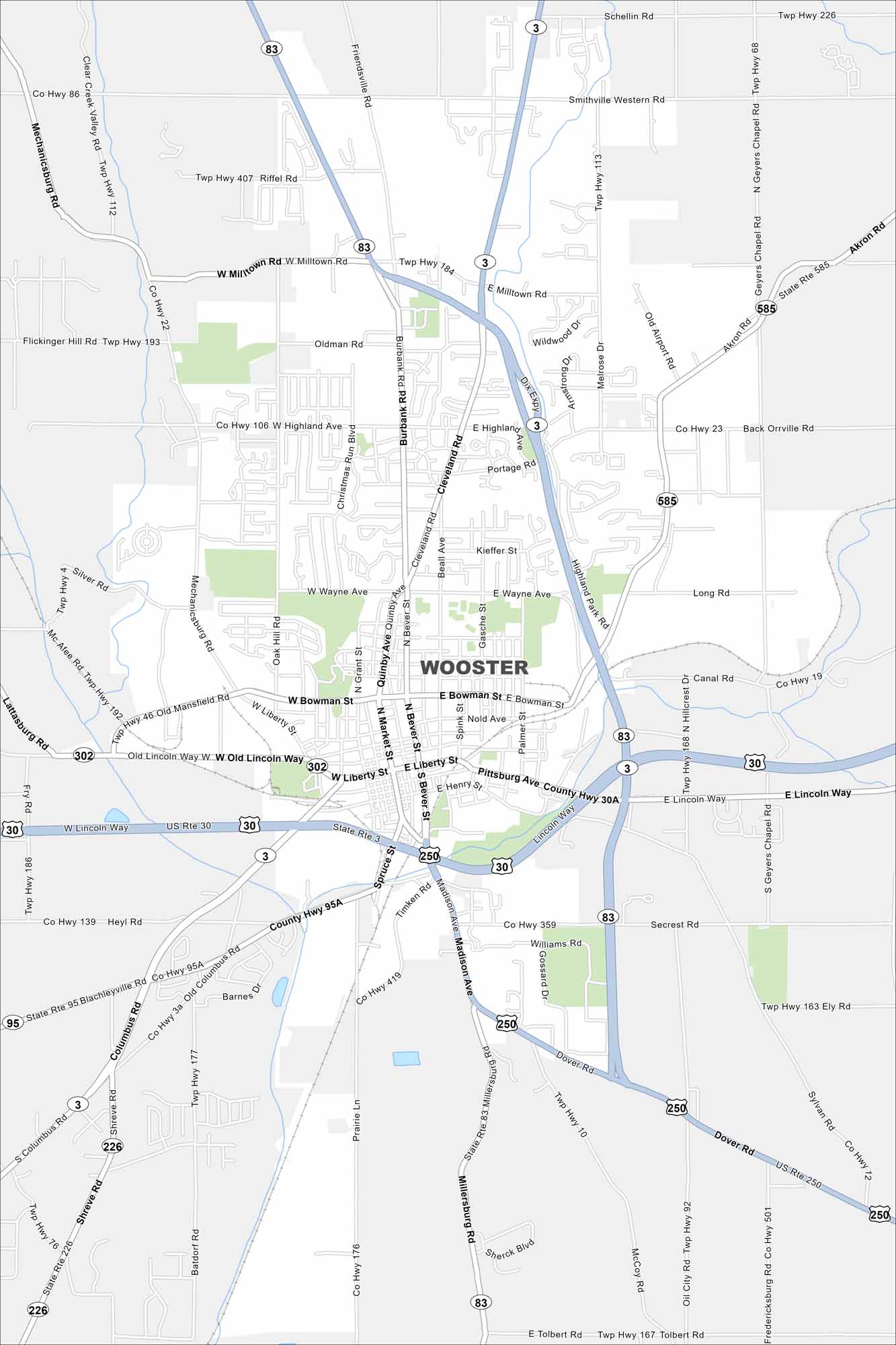
This map of Wooster shows the college town’s downtown and green campus spaces. It’s the seat of Wayne County in northeast Ohio.
Map Information
On the Map
Interstates/Highways: US Rte 30, State Rte 3, State Rte 83, State Rte 585, State Rte 302, State Rte 226, State Rte 95, State Rte 250 Major Roads: Milltown Rd, Wayne Ave, Market St, Liberty St, Bowman St, Cleveland Rd, Burbank Rd, Lincoln Way, Columbus Rd, Madison Ave, Friendsville Rd, Oldman Rd, Highland Ave, Bever St, Quinby Ave, Beall Ave, Gasche St, Spink St, Palmer St, Secrest RdOhio State Maps
Check out our maps covering farmland or any of Ohio’s major cities.


City Maps of Ohio
Here are maps of Columbus and Ohio’s major cities


