US Election 1808 Map
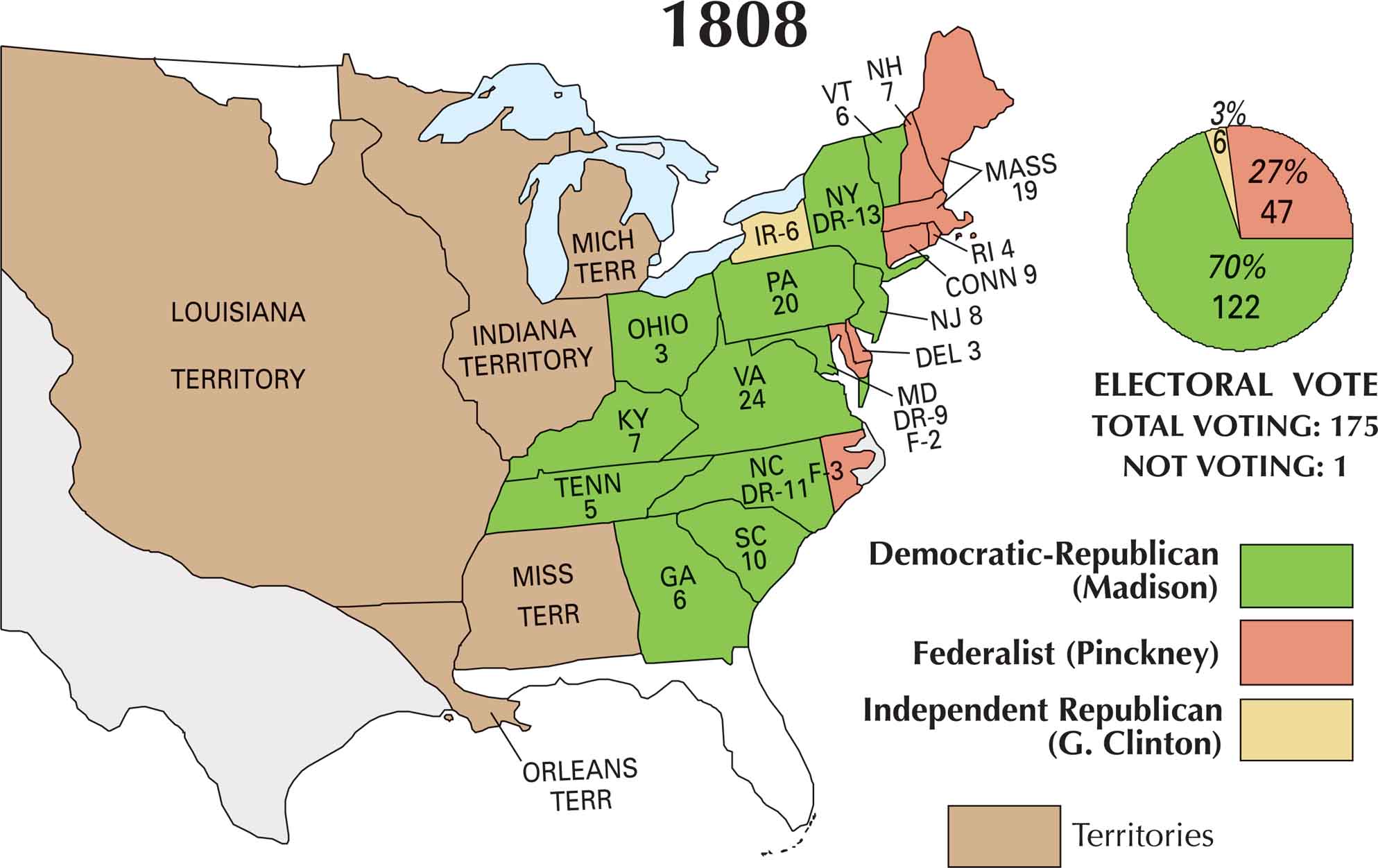
Come 1808, the Jefferson era was winding down. His chosen successor, James Madison, eventually stepped into the spotlight. The country was wrestling with trade restrictions and rising tensions with Britain and France. But the Democratic-Republicans still held most of the power. On our 1808 US election map, Madison’s win stands out.
Map Information
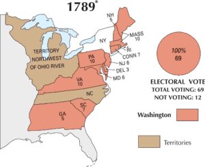
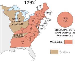
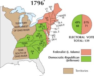
US Election Maps
Click on a map below to check out the US election map and results.

On the Map
Here is the list of states and their electoral vote distribution among the three groups: Democratic-Republican (Madison), Federalist (Pinckney), and Independent Republican (G. Clinton).
States and Electoral Votes
|
State |
Total Votes |
Madison (DR) |
Pinckney (F) |
Clinton (IR) |
|
Virginia |
24 |
24 |
0 |
0 |
|
Pennsylvania |
20 |
20 |
0 |
0 |
|
Massachusetts |
19 |
0 |
19 |
0 |
|
New York |
19 |
13 |
0 |
6 |
|
North Carolina |
14 |
11 |
3 |
0 |
|
Maryland |
11 |
9 |
2 |
0 |
|
South Carolina |
10 |
10 |
0 |
0 |
|
Connecticut |
9 |
0 |
9 |
0 |
|
New Jersey |
8 |
8 |
0 |
0 |
|
New Hampshire |
7 |
0 |
7 |
0 |
|
Kentucky |
7 |
7 |
0 |
0 |
|
Vermont |
6 |
6 |
0 |
0 |
|
Georgia |
6 |
6 |
0 |
0 |
|
Tennessee |
5 |
5 |
0 |
0 |
|
Rhode Island |
4 |
0 |
4 |
0 |
|
Delaware |
3 |
0 |
3 |
0 |
|
Ohio |
3 |
3 |
0 |
0 |
Election Summary
- Total Voting: 175
- The Winner: James Madison (Democratic-Republican) with 122 votes (70%).
- Federalist Resurgence: After the 1804 landslide, the Federalists regained significant ground in New England, flipping Massachusetts, New Hampshire, and Rhode Island back to Pinckney.
- Internal Split: New York shows a rare internal party split, with 6 votes going to George Clinton as an Independent Republican.
- New Territories: The map now explicitly labels the Mich Terr (Michigan Territory) and the vast Louisiana Territory.