US Election 1792 Map
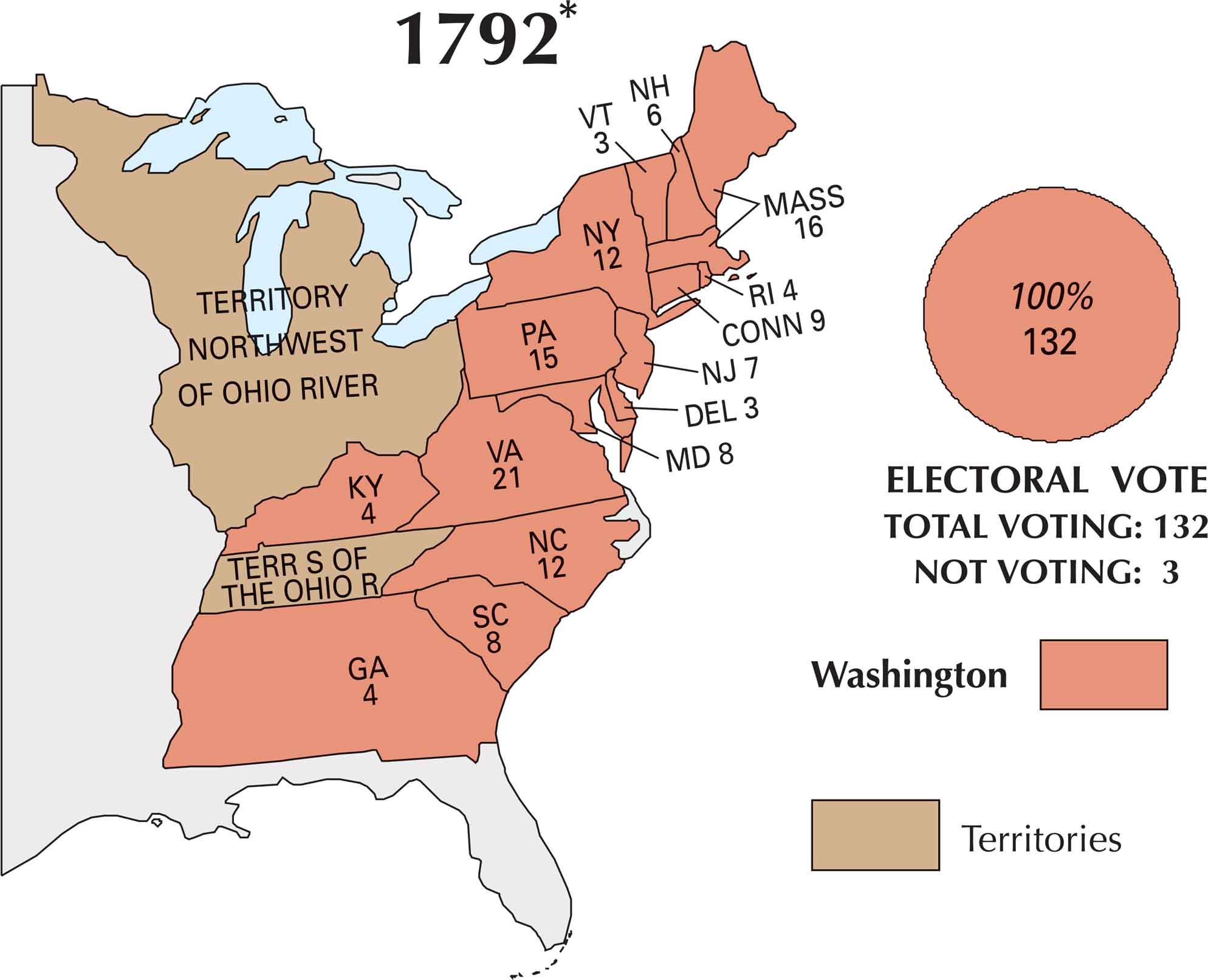
In 1792, the young United States held its second presidential election. Once again, George Washington had no real competition and became the nation’s trusted leader. But this time, the political landscape had started to shift. Factions were forming with the Federalists and the Democratic-Republicans. Our 1792 election map captures a country beginning to take shape politically.
Map Information
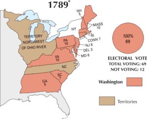
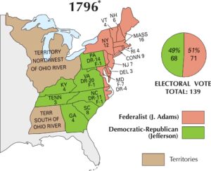
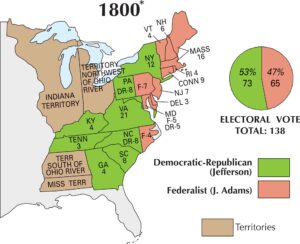
US Election Maps
Click on a map below to check out the US election map and results.


On the Map
Here are the states that participated in the 1792 election and their electoral votes:
States and Electoral Votes
Election Summary
- Total Electoral Votes: 132 (100% for Washington)
- Not Voting: 3
- Territories: The map shows the “Territory Northwest of Ohio River” and “Territory South of the Ohio River” which did not participate in the electoral vote.