Map of Sylvania, Ohio
Want to explore Sylvania, Ohio? This city is situated near Toledo. It’s known for its schools, parks, annual festivals, and a strong community feel.
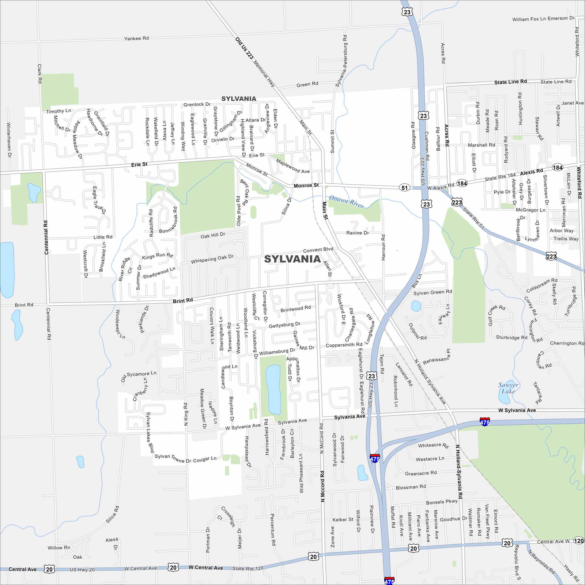
Map Information
On the Map
Interstates/Highways: I-475, US Hwy 23, US Hwy 20, State Rte 184, State Rte 51, State Rte 120 Major Roads: Central Ave, Alexis Rd, Monroe St, Sylvania Ave, McCord Rd, King Rd, Centennial Rd, Holland Sylvania Rd, Main St, Erie St, Whiteford Rd, Brint Rd, Silica Rd, Harroun Rd, Mitchaw Rd, Corey Rd, Talmadge Rd, Richards Rd, Reynolds Rd, Flower Hospital Dr Lakes and Reservoirs: Sawyer Lake Major Rivers: Ottawa River Nearby Communities: ToledoOhio State Maps
Check out our maps covering farmland or any of Ohio’s major cities.


City Maps of Ohio
Here are maps of Columbus and Ohio’s major cities


