South Carolina Precipitation Map
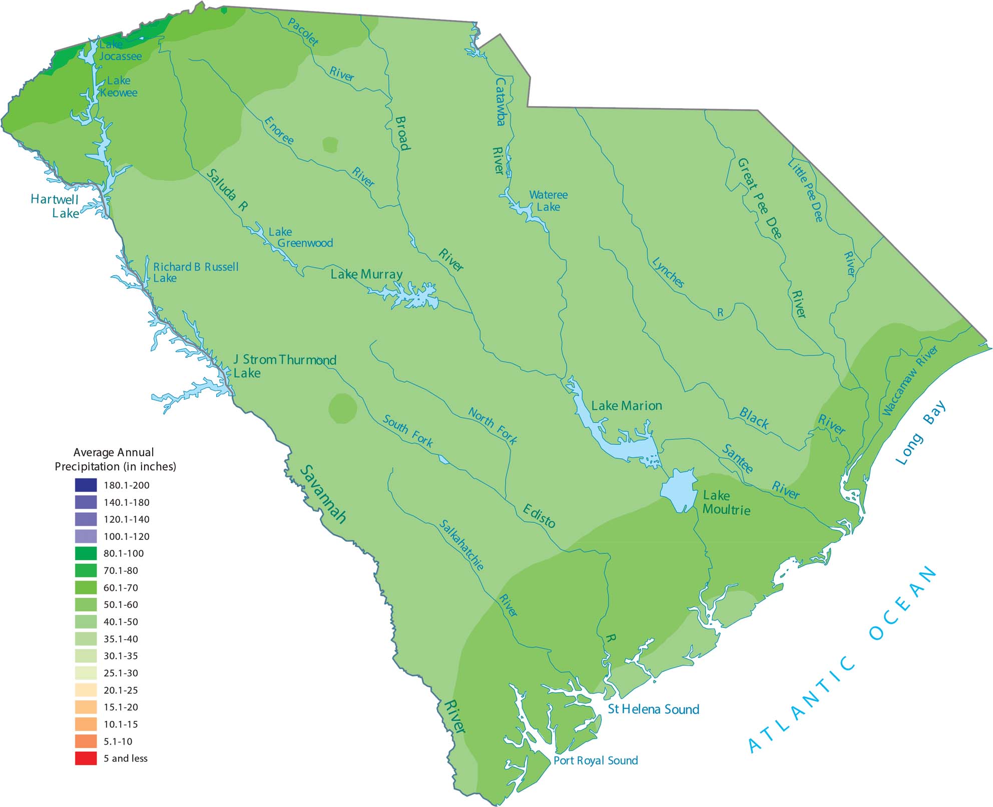
South Carolina is a warm, wet state that gets a lot of moisture from the Atlantic Ocean. Our precipitation map of South Carolina shows that the northwest mountains and the coast get the most rain.
Map Information
State Precipitation Maps
Select any state map below to view its precipitation map.


South Carolina State Maps
Explore maps across the Palmetto State.


