Map of Powell, Ohio
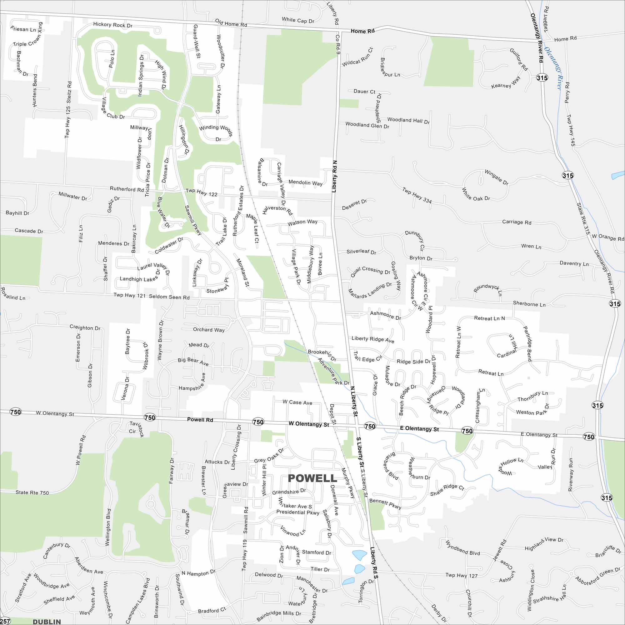
Powell is a small but fast-growing suburb just north of Columbus. Our map shows how neighborhoods connect with parks and railways. The Columbus Zoo and Aquarium sits just outside the city.
Map Information
On the Map
Interstates/Highways: State Rte 750, State Rte 315 Major Roads: Powell Rd, Olentangy St, Liberty Rd, Sawmill Pkwy, Home Rd, Rutherford Rd, Seldom Seen Rd, Case Ave, Bennett Pkwy, Presidential Pkwy, Manning Pkwy, Murphy Pkwy, Taggart Rd, Jewett Rd Major Rivers: Olentangy River Nearby Communities: DublinOhio State Maps
Check out our maps covering farmland or any of Ohio’s major cities.


City Maps of Ohio
Here are maps of Columbus and Ohio’s major cities


