Map of Parma, Ohio
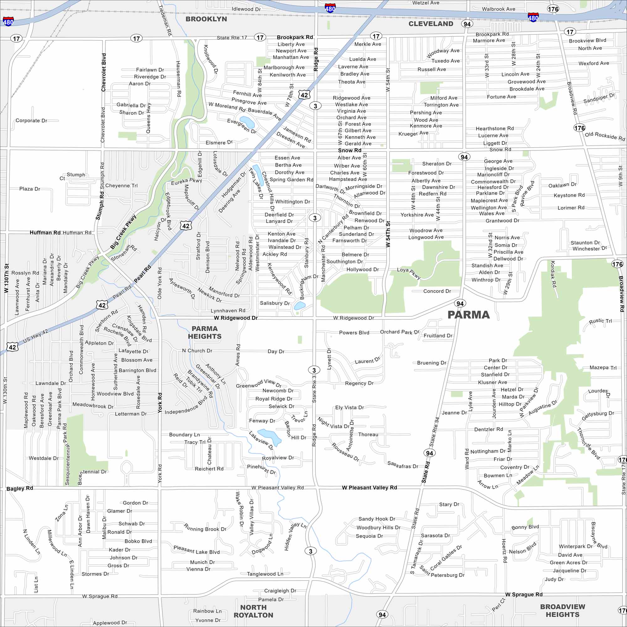
Our map of Parma highlights this city southwest of Cleveland. Suburban streets spread outward with tons of parks. It’s one of the largest suburbs in the state.
Map Information
On the Map
Interstates/Highways: I-480, US Hwy 42, State Rte 17, State Rte 3, State Rte 94, State Rte 176 Major Roads: Brookpark Rd, Snow Rd, Ridgewood Rd, Pleasant Valley Rd, Sprague Rd, Pearl Rd, Ridge Rd, State Rd, Broadview Rd, York Rd, West Creek Rd, Powers Blvd, Hauserman Rd, Stumph Rd, Huffman Rd, Bagly Rd Nearby Communities: Brooklyn, Cleveland, Parma Heights, North Royalton, Broadview HeightsOhio State Maps
Check out our maps covering farmland or any of Ohio’s major cities.


City Maps of Ohio
Here are maps of Columbus and Ohio’s major cities


