Map of Norwood, Ohio
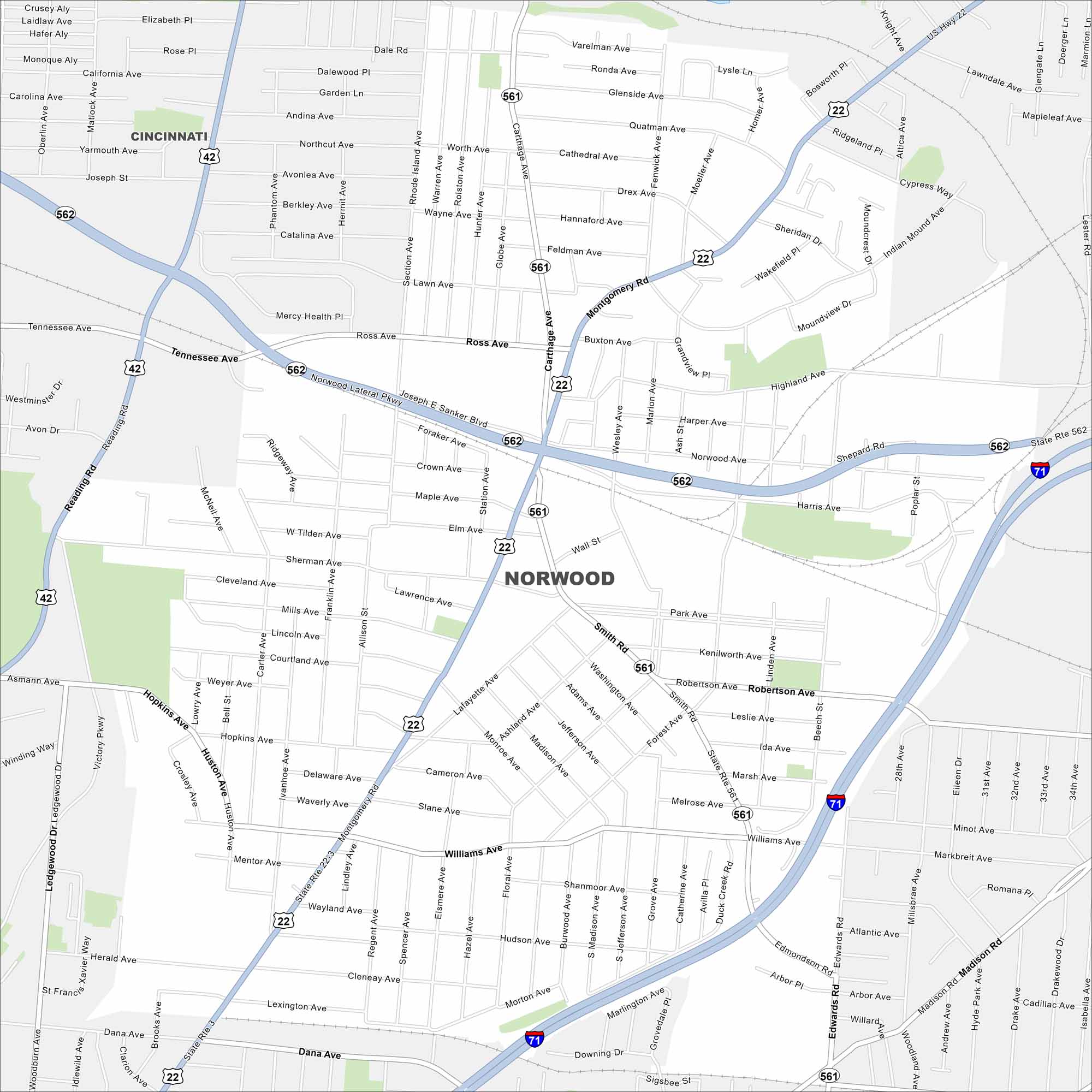
Norwood lies just northeast of Cincinnati. This map highlights a dense street grid with highways cutting across. It’s a small, independent city surrounded entirely by Cincinnati.
Map Information
On the Map
Interstates/Highways: I-71, US Hwy 22, State Rte 562, State Rte 561, State Rte 3 Major Roads: Montgomery Rd, Norwood Lateral Pkwy, Carthage Ave, Reading Rd, Duck Creek Rd, Madison Rd, Dana Ave, Edwards Rd, Smith Rd, Section Ave, Ross Ave, Robertson Ave, Forest Ave, Williams Ave, Sherman Ave, Hopkins Ave Nearby Communities: CincinnatiOhio State Maps
Check out our maps covering farmland or any of Ohio’s major cities.


City Maps of Ohio
Here are maps of Columbus and Ohio’s major cities


