North Dakota Precipitation Map
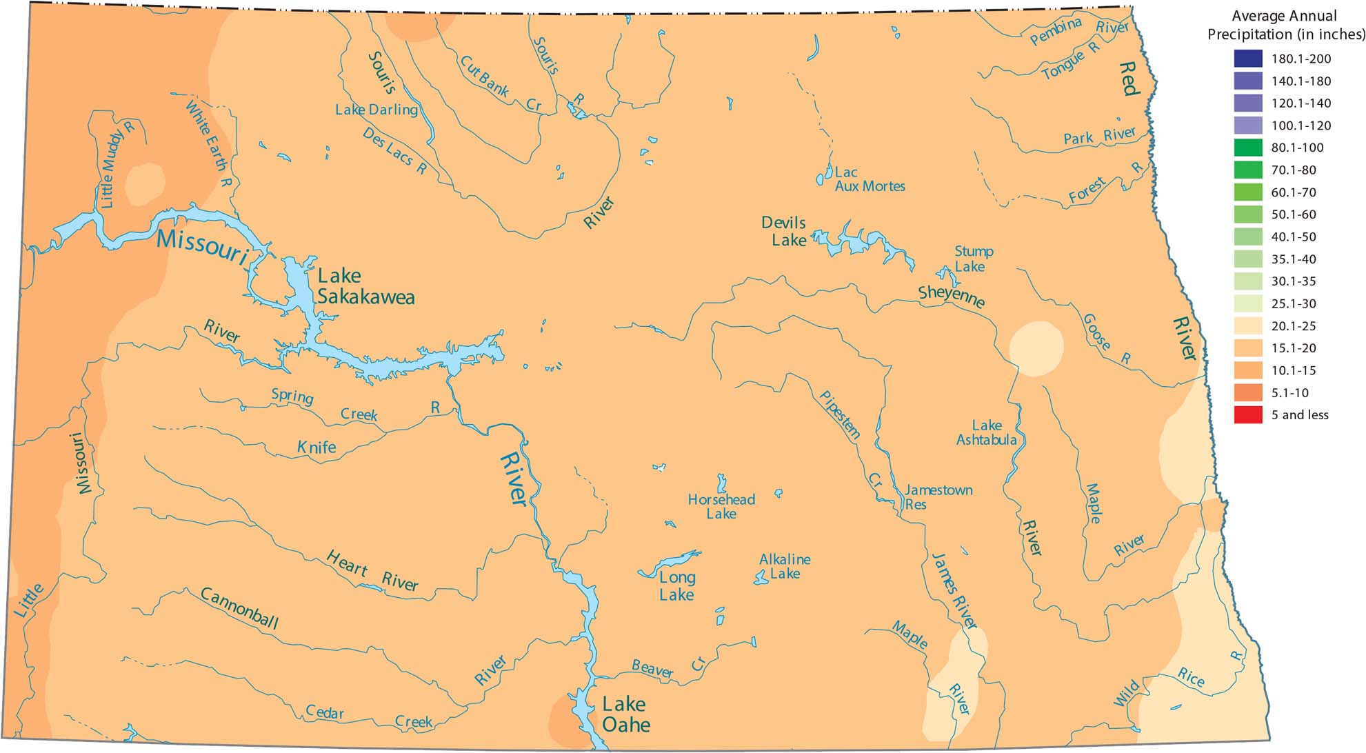
North Dakota’s flat prairie landscape sits far from any major moisture sources. As you can see in our precipitation map of North Dakota, this keeps things pretty dry up in the Prairies. The eastern edge near the Red River Valley sees slightly more rain than the western plains.
Map Information
State Precipitation Maps
Select any state map below to view its precipitation map.


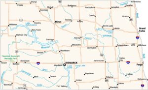
North Dakota State Maps
Find the map you need of the Peace Garden State.