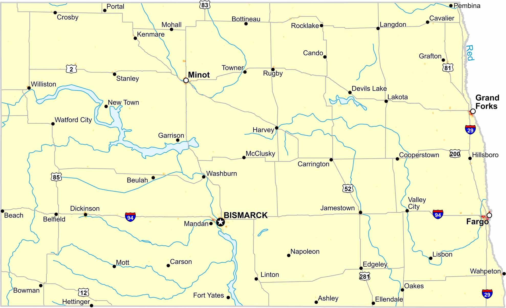
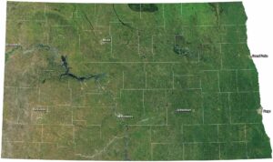
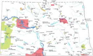
North Dakota Population Map
Our population density map of North Dakota shows wide open plains. Population density remains low statewide except in Fargo, Grand Forks and Bismarck.
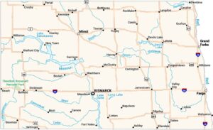
Map Information
On the Map
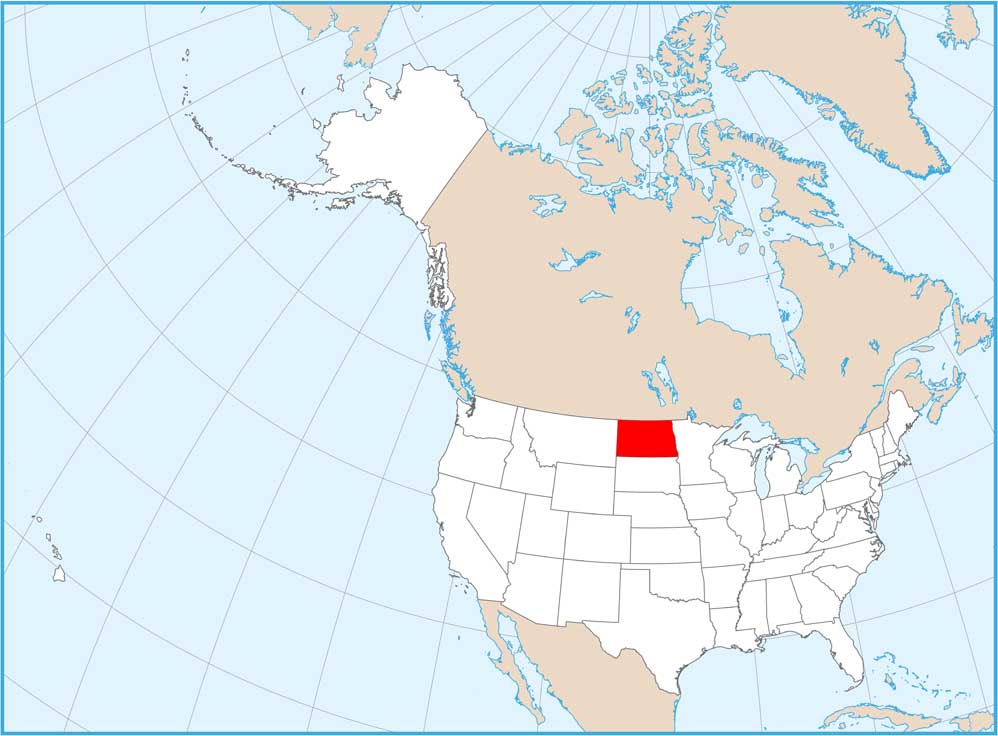
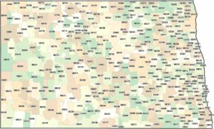
North Dakota State Maps
Find the map you need of the Peace Garden State.


State Population Maps
Select any state map below to view its population density map.


