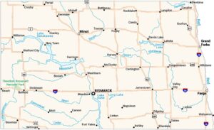
North Dakota Lakes and Rivers Map
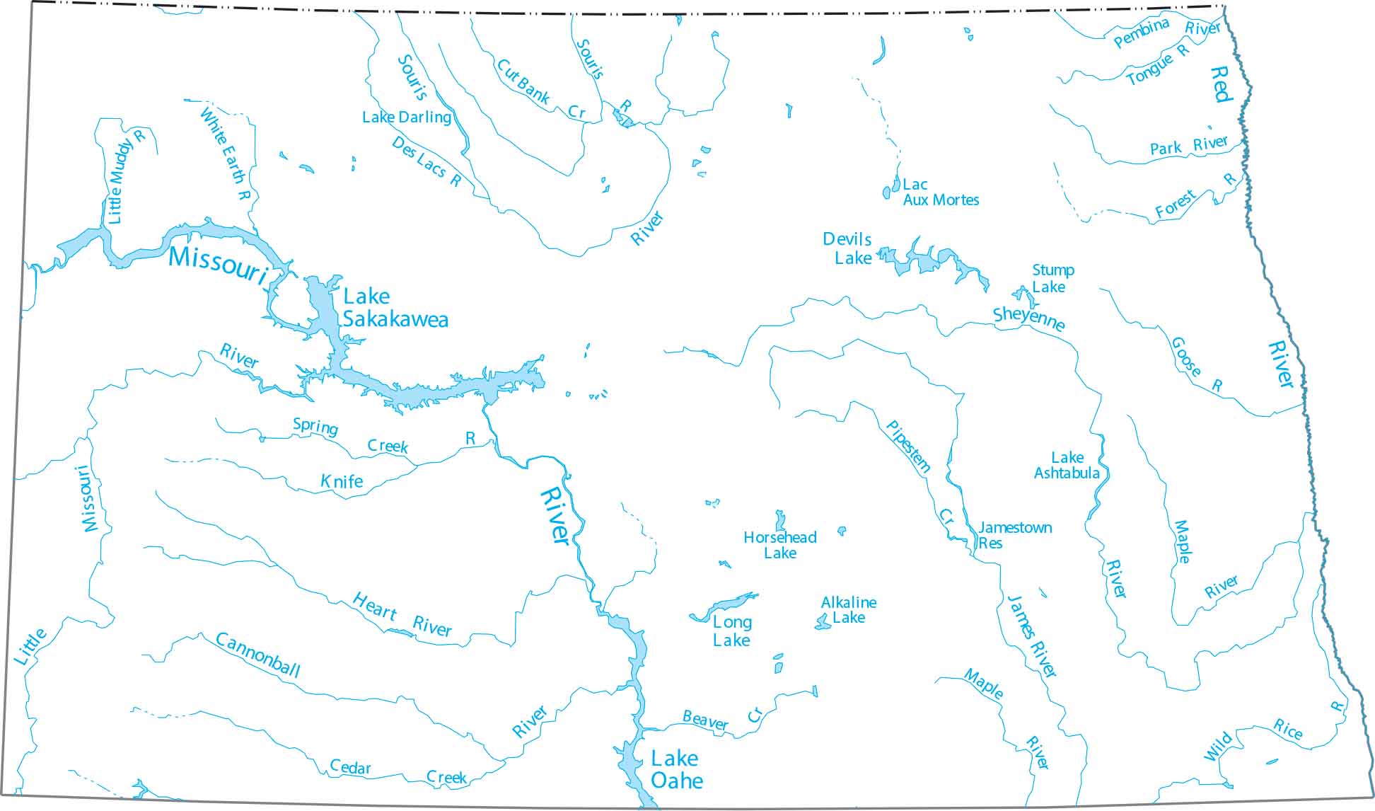
North Dakota is dominated by Lake Sakakawea, a giant reservoir that stretches across the western part of the state. Our map of North Dakota follows the James River and the Red River as they flow through the prairie.
Map Information
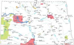
On the Map
Lakes and Rivers State Maps
Select any state map below to view its lakes and rivers map.


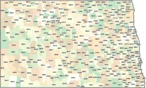
North Dakota State Maps
Find the map you need of the Peace Garden State.