Map of Newark, Ohio
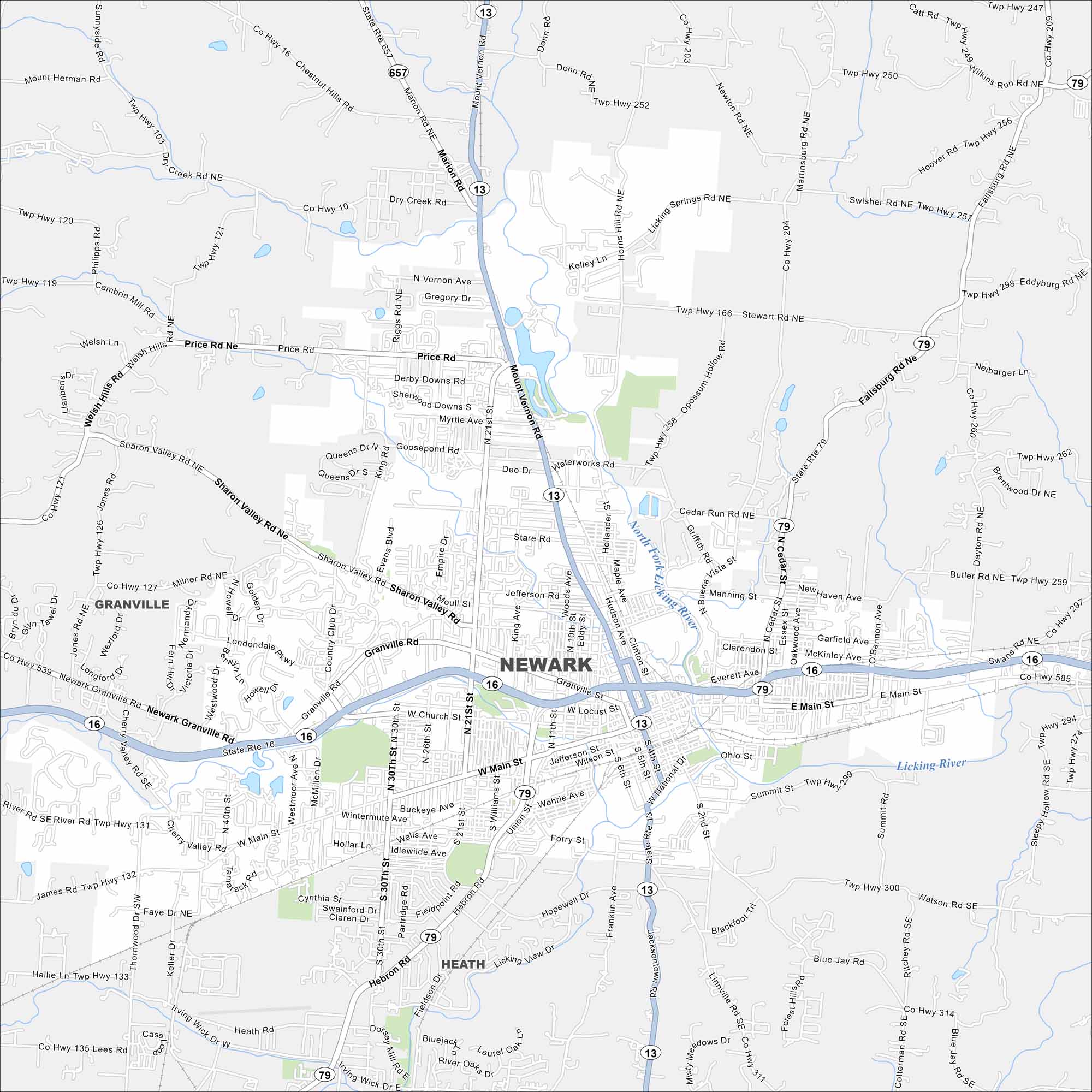
Newark lies east of Columbus along the Licking River. The map shows a historic downtown square and neighborhoods stretching into rolling hills. It’s also known for the nearby Newark Earthworks.
Map Information
On the Map
Interstates/Highways: State Rte 16, State Rte 79, State Rte 13, State Rte 657 Major Roads: Main St, Church St, Granville Rd, Mt Vernon Rd, 21st St, 30th St, Union St, Hebron Rd, Sharon Valley Rd, 4th St, 5th St, National Rd, Dayton Rd, Fallsburg Rd, O’Bannon Ave, Cherry Valley Rd Major Rivers: North Fork Licking River, Licking River Nearby Communities: Granville, HeathOhio State Maps
Check out our maps covering farmland or any of Ohio’s major cities.


City Maps of Ohio
Here are maps of Columbus and Ohio’s major cities


