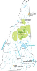
New Hampshire Population Map
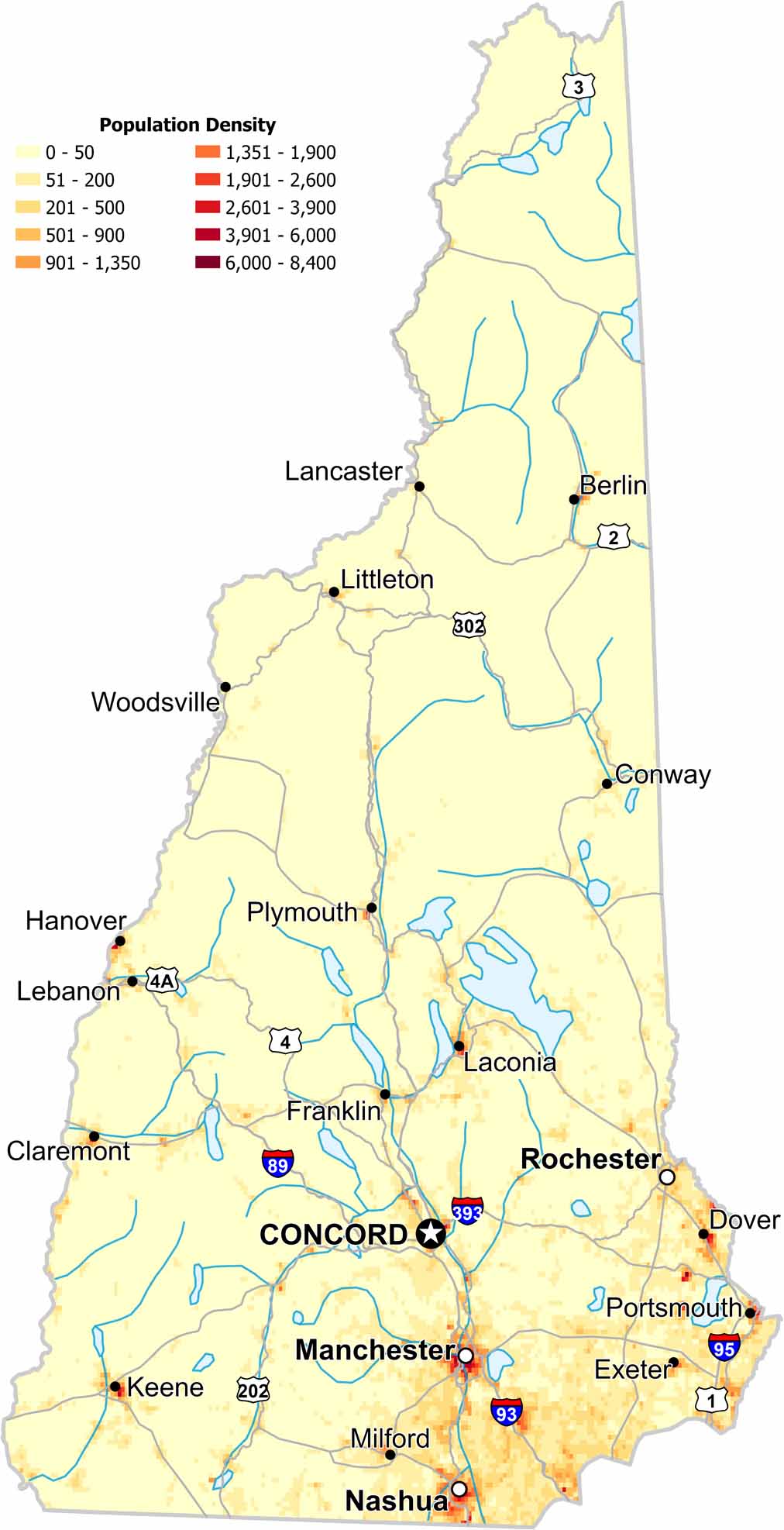
Check out our map to see population density in New Hampshire. While the southern region appears denser, forests remain dominant in the north.
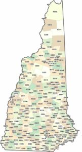
Map Information
On the Map
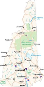
New Hampshire State Maps
Select one of our maps of the Granite State.
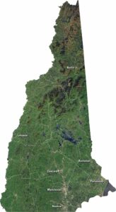


State Population Maps
Select any state map below to view its population density map.


