Map of Medina, Ohio
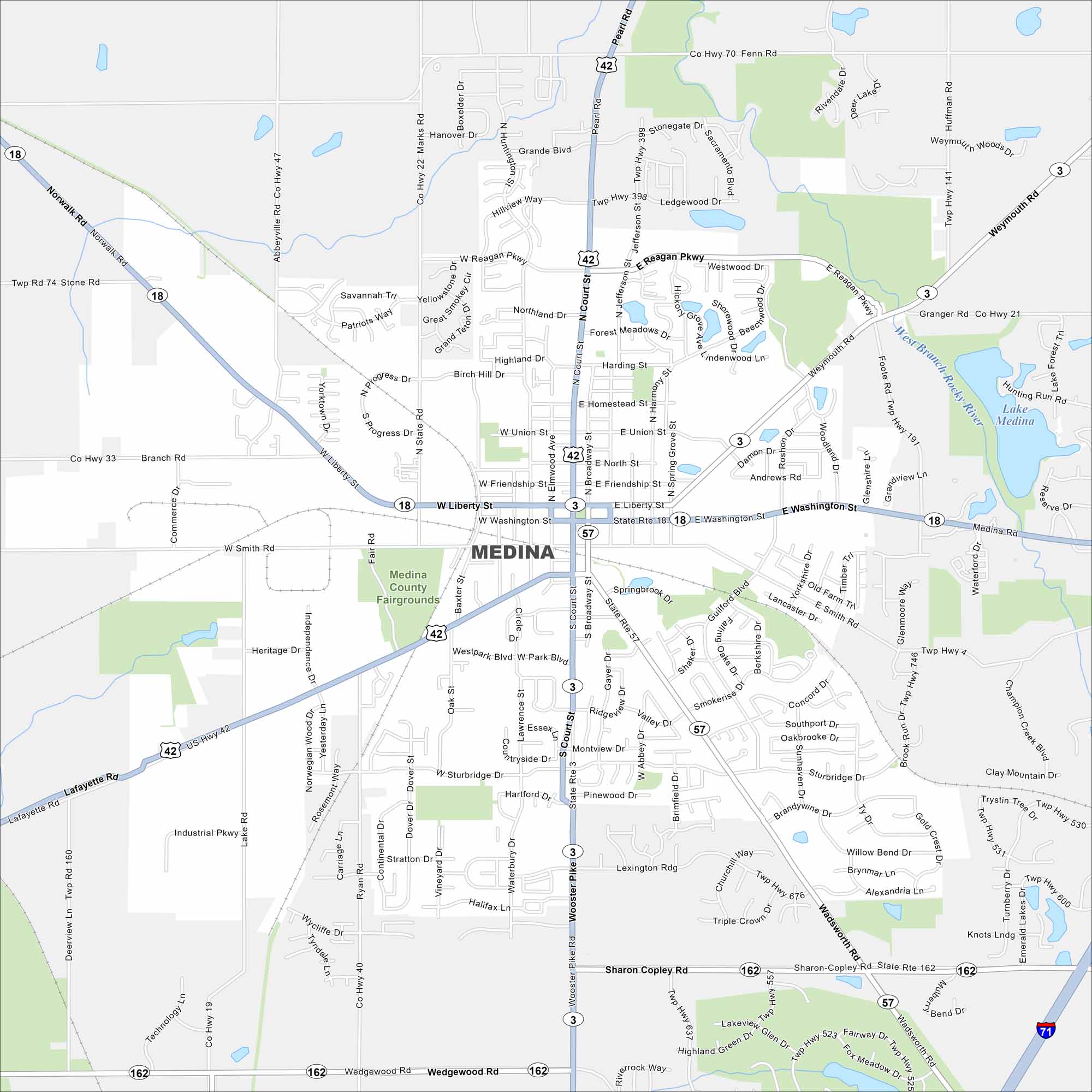
Discover Medina, located in northeast Ohio. Our map shows highways, roads, waterways and parks that spread outward. The historic square anchors the center.
Map Information
On the Map
Interstates/Highways: I-71, US Hwy 42, State Rte 18, State Rte 57, State Rte 3, State Rte 162 Major Roads: Liberty St, Washington St, Smith Rd, Court St, Broadway St, Jefferson St, Reagan Pkwy, Lafayette Rd, Wadsworth Rd, Sharon Copley Rd, Wedgewood Rd, Norwalk Rd, Progress Dr, Lake Rd, Foote Rd, Weymouth Rd Airports: Lakes and Reservoirs: Lake Medina Major Rivers: West Branch Rocky River Parks and Preserves: Medina County Fairgrounds Nearby Communities: WeymouthOhio State Maps
Check out our maps covering farmland or any of Ohio’s major cities.


City Maps of Ohio
Here are maps of Columbus and Ohio’s major cities


