Home » State Maps » Map of Massachusetts

Map of Massachusetts

Massachusetts Map

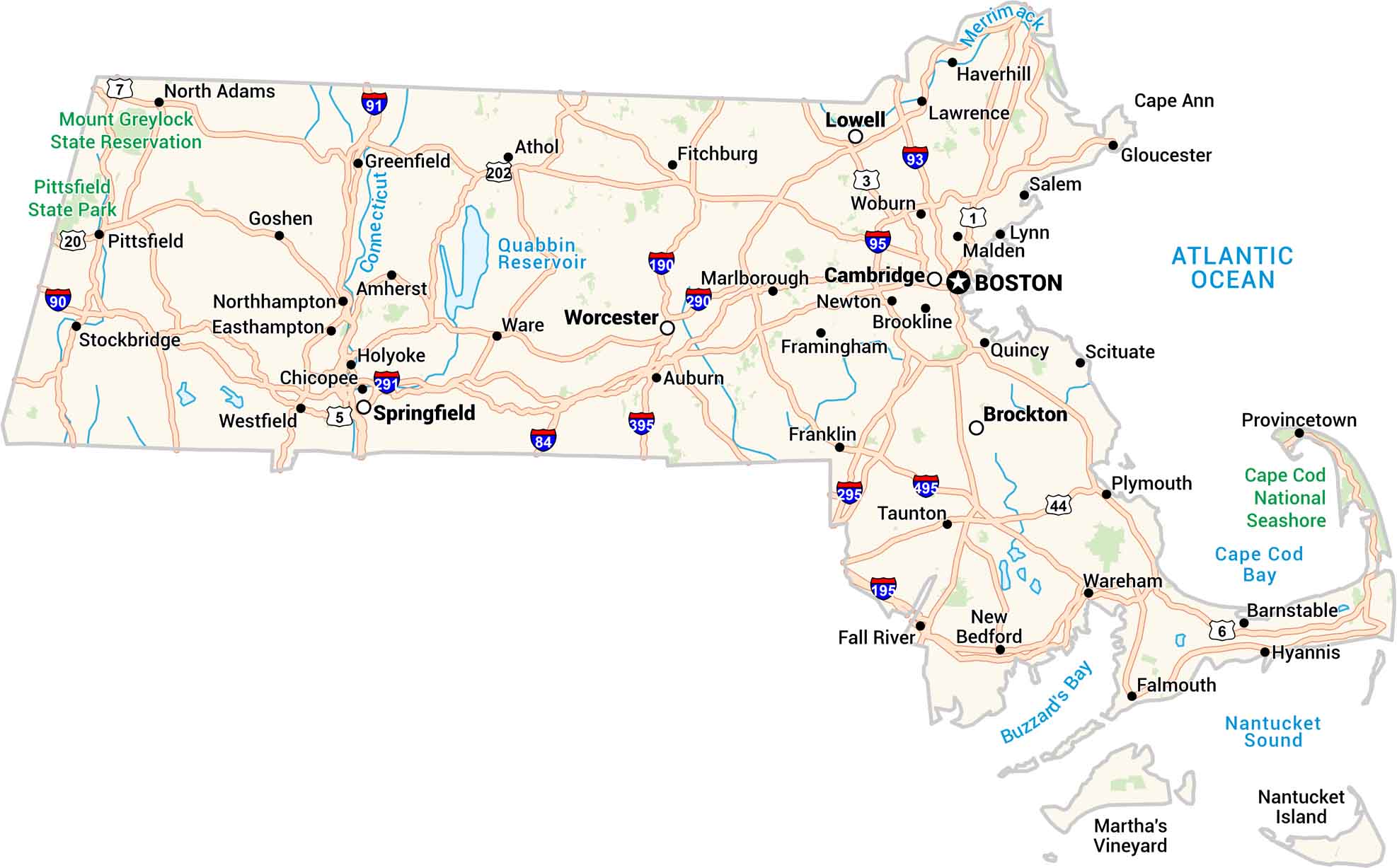
Our Massachusetts map lays it all out. It has cities, highways, rivers, and coastlines. You can trace the curve of Cape Cod or follow the route from Boston to the Berkshires. Every corner shows a bit of history and movement. It’s a detailed look at a small state with a big story.
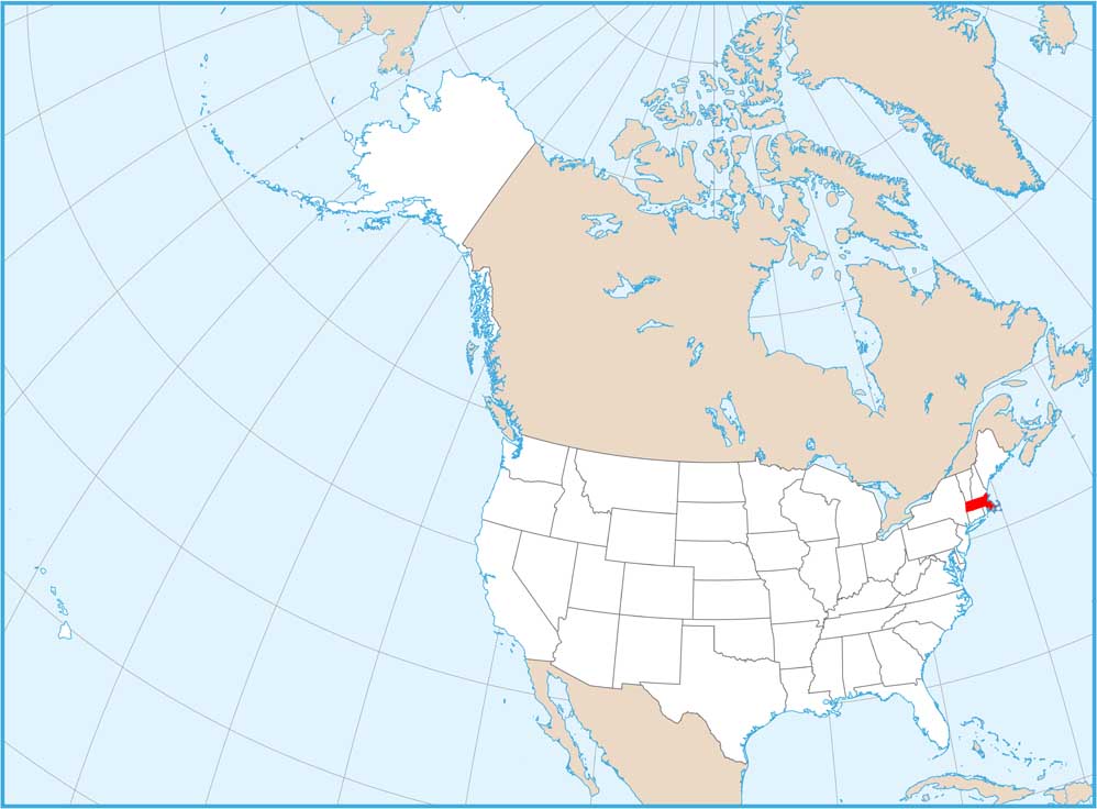
Map Information

  • State of Massachusetts
  • Road Map of Massachusetts
  • Free for personal and commercial purpose. Attribution is required. How to attribute?

On the Map

Massachusetts Location Map
State Capital: Boston Major Cities: Brockton, Cambridge, Lowell, Springfield, Worcester Cities and Towns: Amherst, Athol, Auburn, Barnstable, Brookline, Chicopee, Easthampton, Fall River, Falmouth, Fitchburg, Framingham, Franklin, Gloucester, Goshen, Greenfield, Haverhill, Holyoke, Hyannis, Lawrence, Lynn, Malden, Marlborough, New Bedford, Newton, North Adams, Northhampton, Pittsfield, Plymouth, Provincetown, Quincy, Salem, Scituate, Stockbridge, Taunton, Ware, Wareham, Westfield, Woburn Interstate Highways: I-90, I-91, I-93, I-95, I-190, I-195, I-290, I-291, I-395, I-495 US Routes: US-1, US-3, US-5, US-6, US-7, US-20 Lakes and Reservoirs: Atlantic Ocean, Buzzards Bay, Cape Cod Bay, Nantucket Sound, Quabbin Reservoir Rivers and Streams: Connecticut River, Merrimack River National Parks and Forests: Cape Cod National Seashore, Mount Greylock State Reservation, Pittsfield State Park

City Maps of Massachusetts

Explore Boston and other urban areas in Massachusetts

References

  1. Government Website of the State of Massachusetts
  2. Massachusetts in Google Maps

Leave a Reply

Your email address will not be published. Required fields are marked *