Map of Marion, Ohio
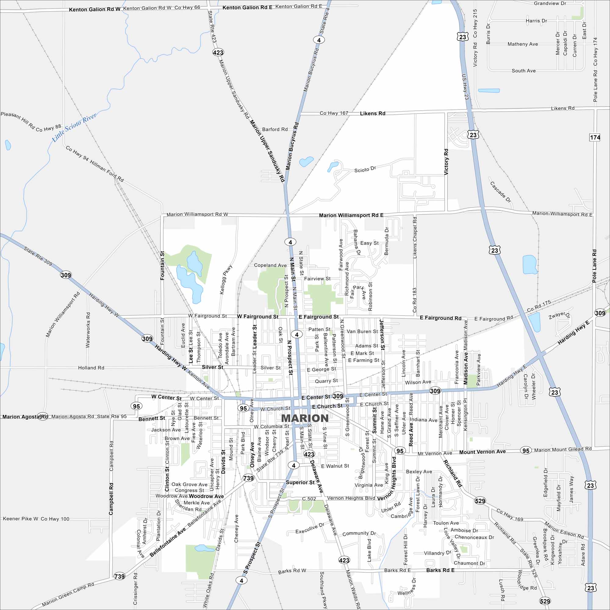
Marion lies north of Columbus in central Ohio. Our map highlights its highway connections, rail lines, and downtown area. Open farmland surrounds the city on all sides.
Map Information
On the Map
Interstates/Highways: US Hwy 23, US Hwy 309 Major Roads: Main St, Center St, Prospect St, Delaware Ave, Fairground St, Mt Vernon Ave, Bellefontaine Ave, Harding Hwy, Barks Rd, James Way, Richland Rd, Silver St, Church St, Columbia St, Walnut St, Marion Williamsport Rd, Kenton Galion Rd, Marion Upper Sandusky Rd, Vernon Heights Blvd, Likens Rd Major Rivers: Little Scioto River, Scioto RiverOhio State Maps
Check out our maps covering farmland or any of Ohio’s major cities.


City Maps of Ohio
Here are maps of Columbus and Ohio’s major cities


