Albuquerque Airport Map
Check out our map showing the Sunport’s layout. You’ll find runways, the main terminal, and surrounding roads like Interstate 25.

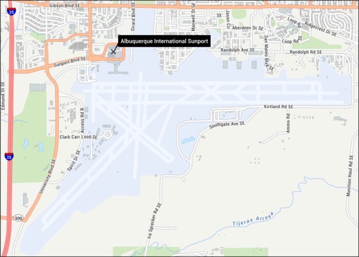
Check out our map showing the Sunport’s layout. You’ll find runways, the main terminal, and surrounding roads like Interstate 25.
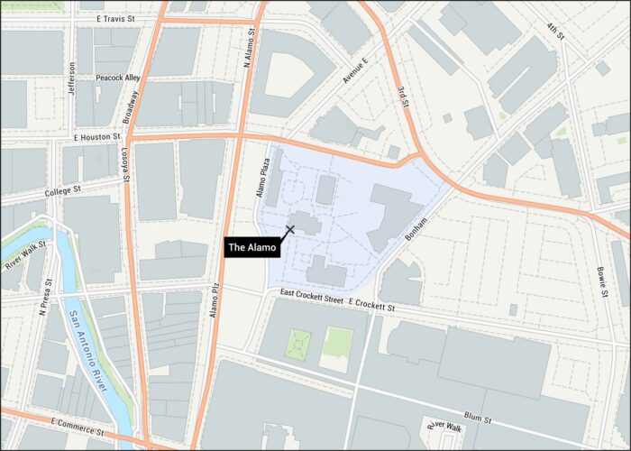
This map shows the Alamo grounds in downtown San Antonio. You’ll see all the surrounding streets, paths and the San Antonio River.
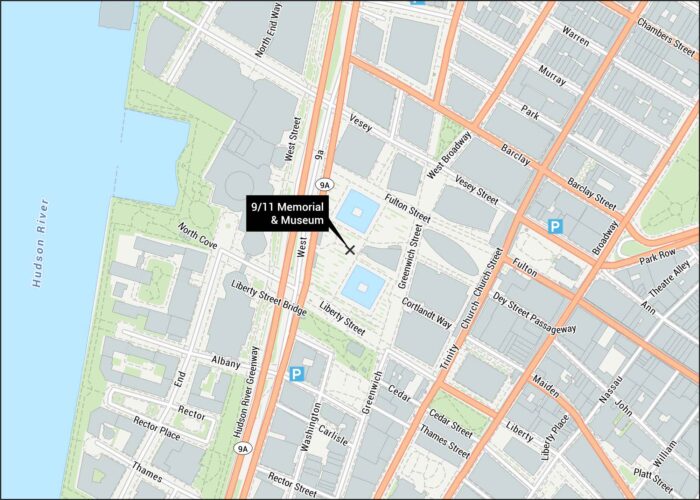
Our map shows the 9/11 Memorial and Museum layout in Lower Manhattan. The twin reflecting pools mark where the towers once stood.
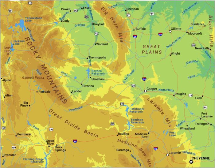
Stand anywhere in Wyoming and you’re probably above 6,000 feet. The Rockies dominate with ranges like the Tetons, Wind River, and Bighorns.
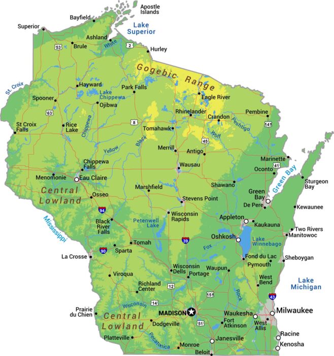
Explore Wisconsin’s physical geography with our detailed map showing forested highlands, river valleys, and Great Lakes coastline.
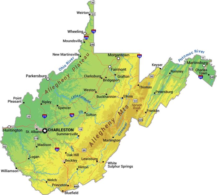
There’s a reason they call it the Mountain State. Our physical map of West Virginia shows some of the most rugged terrain in eastern US.
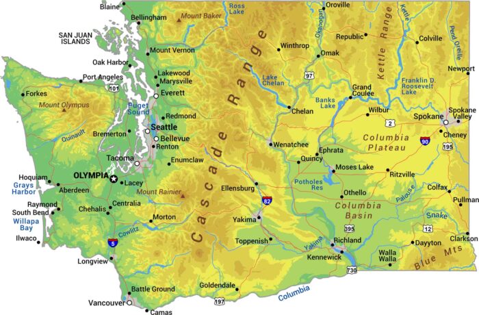
Without further ado, I bring to you our physical map of Washington. We’re showing the Cascade Range with Mount Rainier, Olympus and Baker.
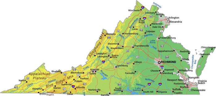
Our physical map shows Virginia climbing from tidewater to mountain peaks. You’ll see the Appalachians and Blue Ridge Mountains.
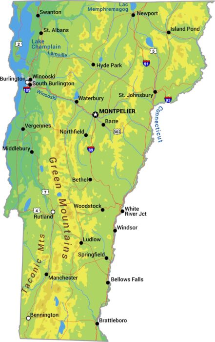
Vermont is the state of the Green Mountains. Its peaks define the state with forests covering most of the terrain between valleys.
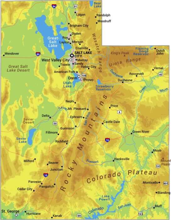
Utah is canyon country with mountains like the Rockies and the Great Salt Lake Desert. See it all with our physical map of Utah.
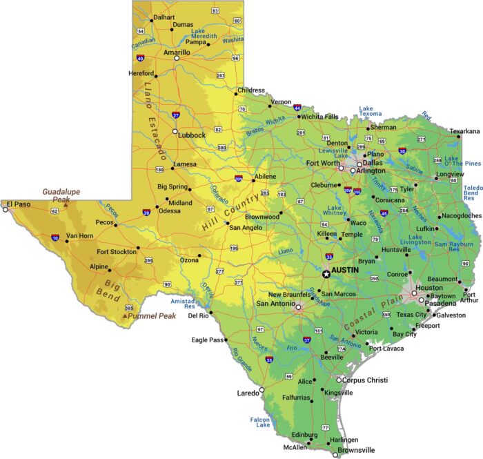
Everything’s bigger in Texas, including the geography. Our physical map of Texas shows a state with more variety than most countries.
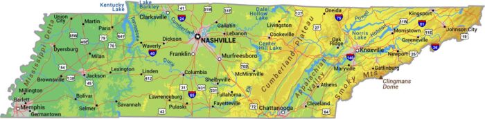
Tennessee drops from mountains to river. The Smokies rise in the east, hills roll through the middle, and the west flattens.
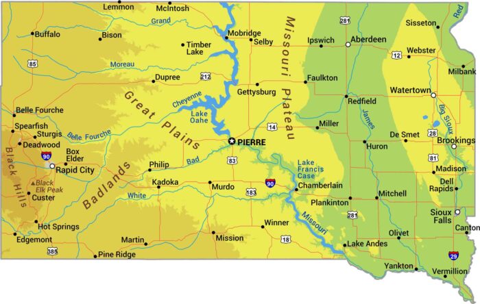
There’s a clear divide at the Missouri River. The east is mostly flat prairie while the west brings Great Plains rising into the Black Hills.
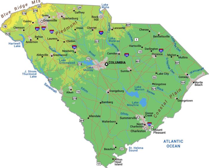
Our physical map of South Carolina shows it rising gently from coast to foothills. The Blue Ridge clips the far northwest corner with peaks.
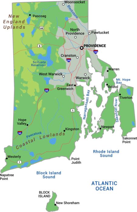
Rhode Island packs coastal lowlands, Narragansett Bay, and gentle hills. Our physical map of Rhode Island shows this New England state.