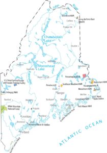
Maine Population Map
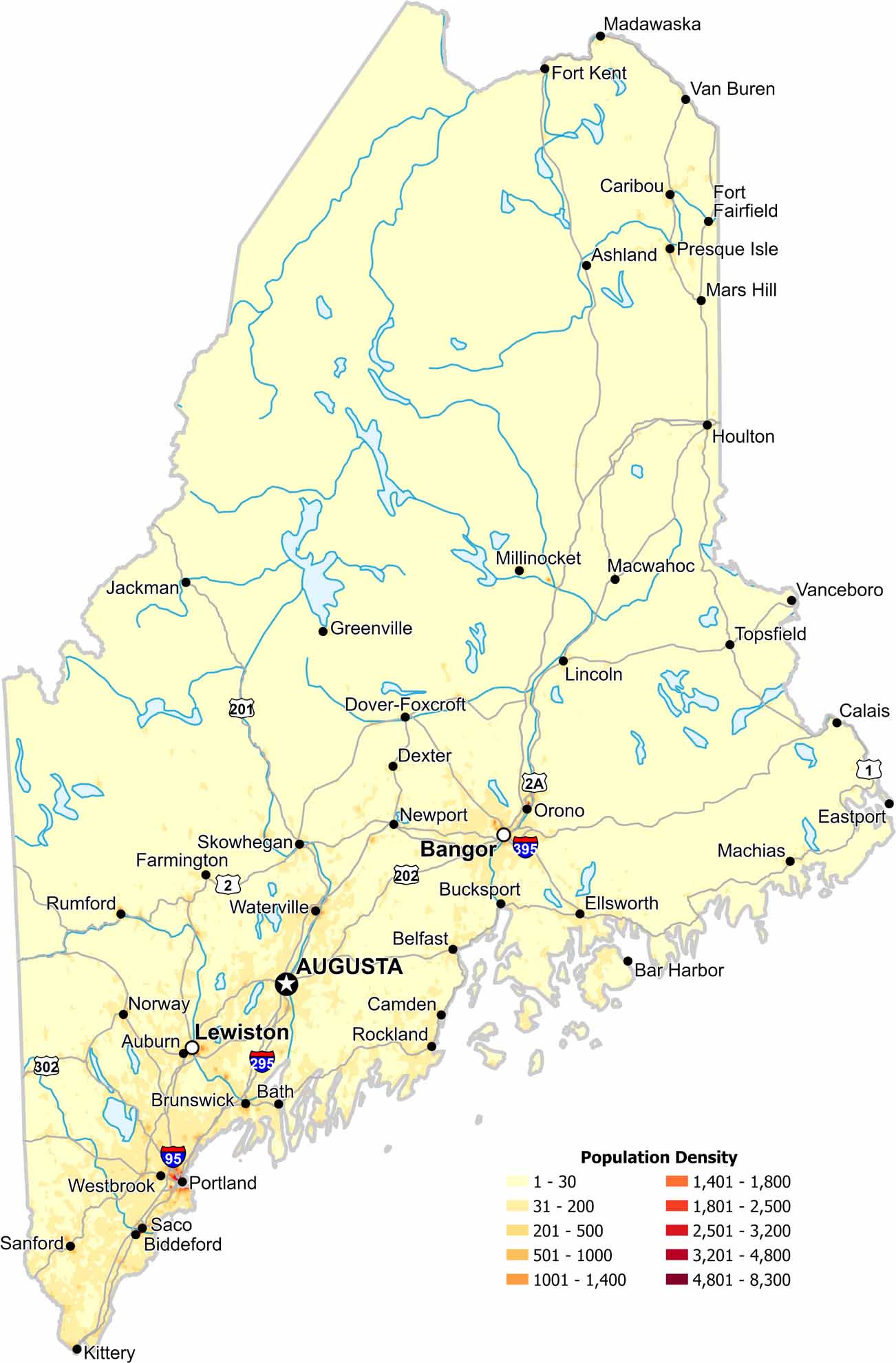
Southern Maine holds most of the population. Our population density map highlights density near the coast and highways. Northern forests remain largely empty as its terrain shape settlement close to Canada.
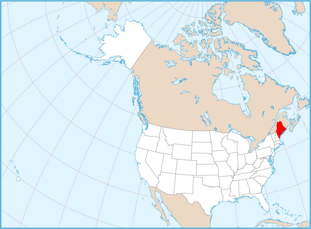
Map Information
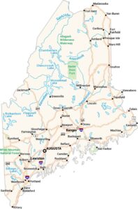
On the Map


State Population Maps
Select any state map below to view its population density map.


