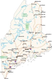
Maine Lakes and Rivers Map
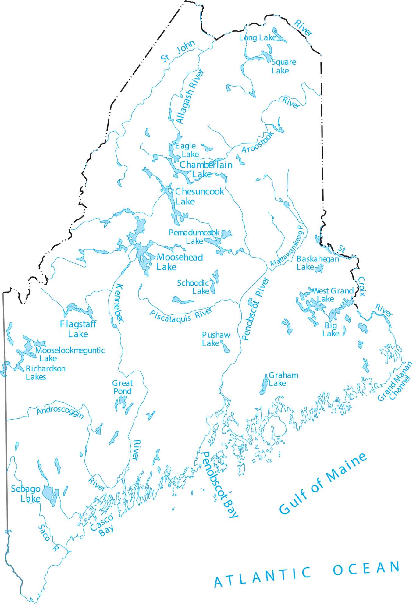
Maine is the northeastern corner of the U.S., known for cold lakes and coastal rivers. Our map lays out long rivers flowing to the Atlantic. Start with this map of Maine’s lake-filled landscape.
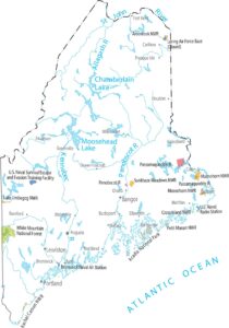
Map Information
On the Map
Lakes and Rivers State Maps
Select any state map below to view its lakes and rivers map.


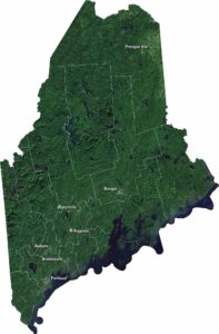
Maine State Maps
Examine the Pine Tree State of Maine