Map of Lorain, Ohio
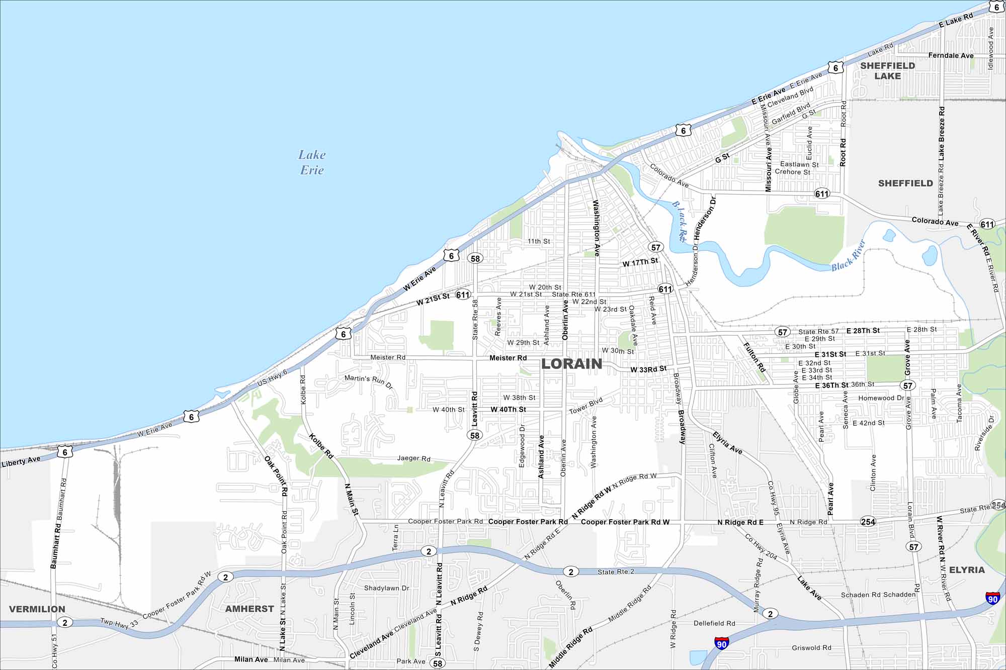
Lorain sits on Lake Erie west of Cleveland. Our map shows the Black River flowing into the harbor. Highways connect the city inland to the region.
Map Information
On the Map
Interstates/Highways: I-90, US Hwy 6 Major Roads: Broadway, Main St, Henderson Dr, Leavitt Rd, Oberlin Ave, 28th St, 21st St, Colorado Ave, Cooper Foster Park Rd, Meister Rd, Oak Point Rd, Washington Ave, Tower Blvd, Jaeger Rd, Middle Ridge Rd, North Ridge Rd, Kolbe Rd, Reid Ave, Kansas Ave, Elyria Ave Lakes and Reservoirs: Lake Erie Major Rivers: Black River Nearby Communities: Sheffield Lake, Sheffield, Elyria, Amherst, VermilionOhio State Maps
Check out our maps covering farmland or any of Ohio’s major cities.


City Maps of Ohio
Here are maps of Columbus and Ohio’s major cities


