Map of Lima, Ohio
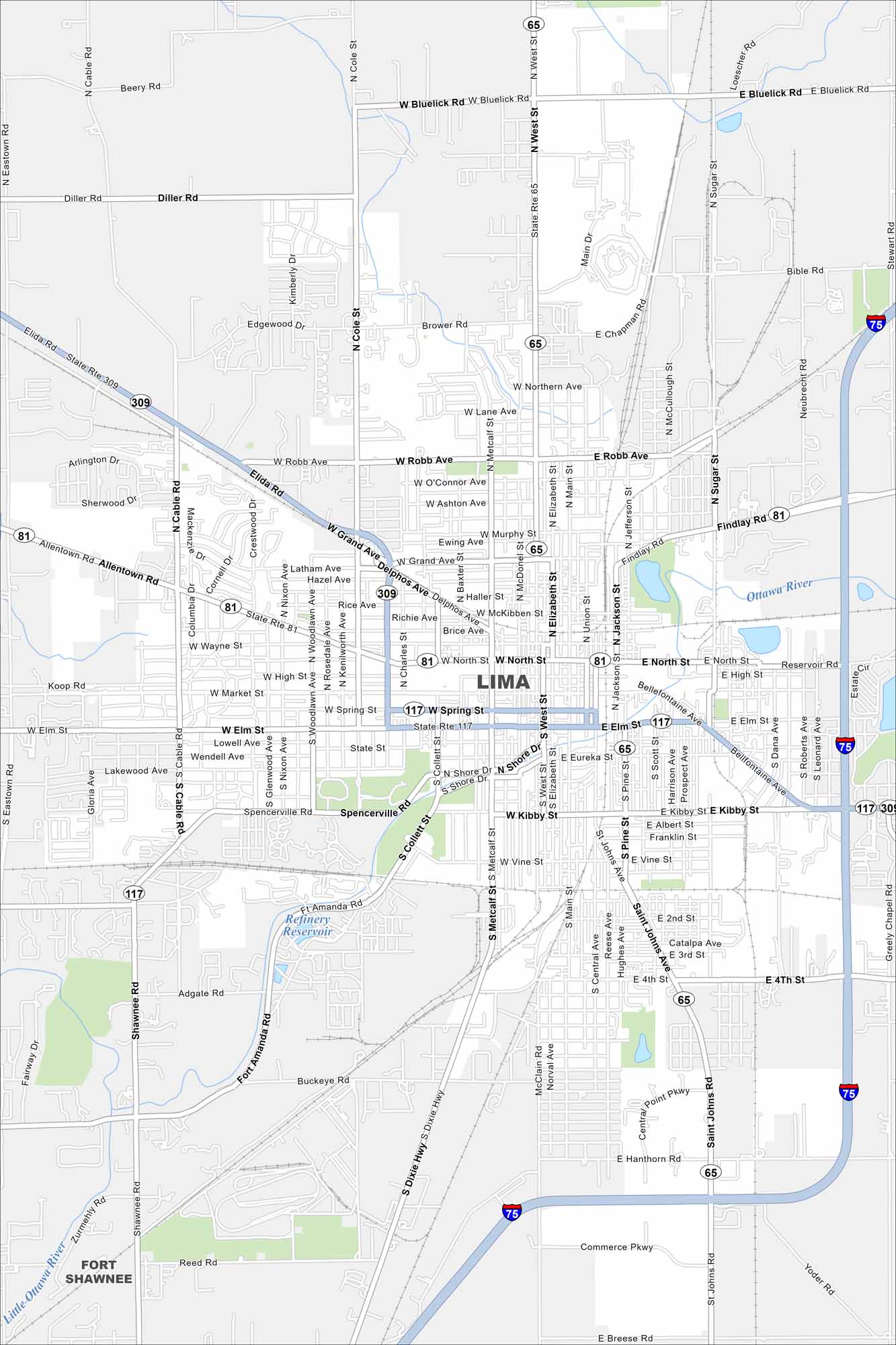
Our map of Lima places the city amid flat farmland in northwest Ohio. Highways and rail lines slice through the center. Compact neighborhoods surround its small downtown.
Map Information
On the Map
Interstates/Highways: I-75, US Hwy 309 Major Roads: Main St, Market St, Cable Rd, West St, North St, Elm St, Metcalf St, Kibby St, Bellefontaine Ave, Robb Ave, Spencerville Rd, Grand Ave, Jameson Ave, Cole St, Woodlawn Ave, Collett St, Dixie Hwy, Blue Lick Rd, Hanthorn Rd, Breese Rd Lakes and Reservoirs: Refinery Reservoir Major Rivers: Ottawa River, Little Ottawa River Nearby Communities: Fort ShawneeOhio State Maps
Check out our maps covering farmland or any of Ohio’s major cities.


City Maps of Ohio
Here are maps of Columbus and Ohio’s major cities


