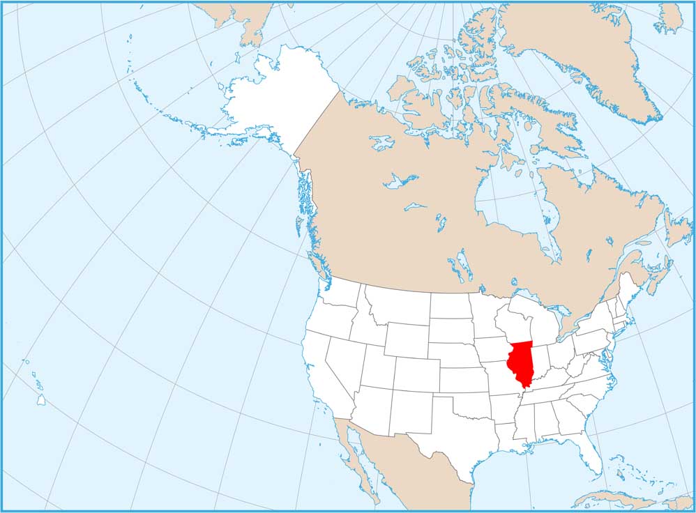
Home » State Maps » Map of Illinois

Map of Illinois

Illinois Map

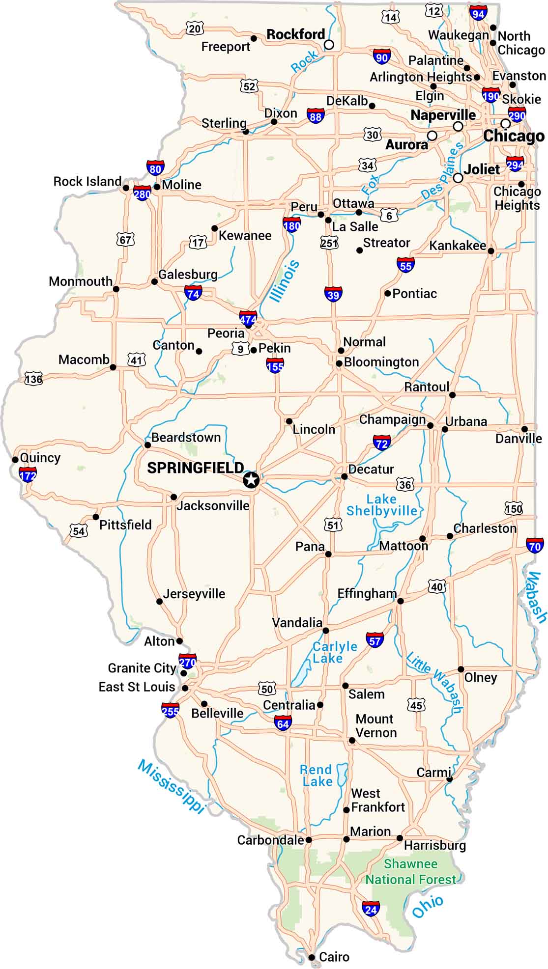
This map of Illinois keeps things clear. Cities, towns, rivers, and lakes are easy to see. From Chicago’s edge to the farmland beyond, our map makes sense of the Land of Lincoln.

Map Information

  • State of Illinois
  • Road Map of Illinois
  • Free for personal and commercial purpose. Attribution is required. How to attribute?

On the Map

Illinois Location Map
State Capital: Springfield Major Cities: Aurora, Chicago, Joliet, Rockford, Naperville Cities and Towns: Alton, Arlington Heights, Beardstown, Belleville, Bloomington, Cairo, Canton, Carbondale, Carmi, Centralia, Champaign, Charleston, Chicago Heights, Danville, Decatur, DeKalb, Dixon, East St Louis, Effingham, Elgin, Evanston, Freeport, Galesburg, Granite City, Harrisburg, Jacksonville, Kankakee, Kewanee, La Salle, Lincoln, Macomb, Marion, Mattoon, Moline, Monmouth, Mount Vernon, Normal, North Chicago, Olney, Ottawa, Palatine, Pana, Pekin, Peoria, Peru, Pittsfield, Pontiac, Quincy, Rantoul, Rock Island, Salem, Skokie, Sterling, Streator, Urbana, Vandalia, Waukegan, West Frankfort Interstate Highways: I-24, I-39, I-55, I-57, I-64, I-70, I-72, I-74, I-80, I-88, I-90, I-94, I-155, I-172, I-180, I-190, I-255, I-270, I-280, I-290, I-294, I-474 US Routes: Route 6, Route 9, Route 12, Route 14, Route 17, Route 20, Route 30, Route 34, Route 36, Route 40, Route 41, Route 45, Route 50, Route 51, Route 52, Route 54, Route 67, Route 136, Route 150, Route 251 Lakes and Reservoirs: Carlyle Lake, Lake Shelbyville, Rend Lake Rivers and Streams: Des Plaines River, Fox River, Illinois River, Little Wabash River, Mississippi River, Ohio River, Rock River, Wabash River National Parks and Forests: Shawnee National Forest

References

  1. Government Website of Illinois
  2. Illinois in Google Maps

Leave a Reply

Your email address will not be published. Required fields are marked *