Map of East Cleveland, Ohio
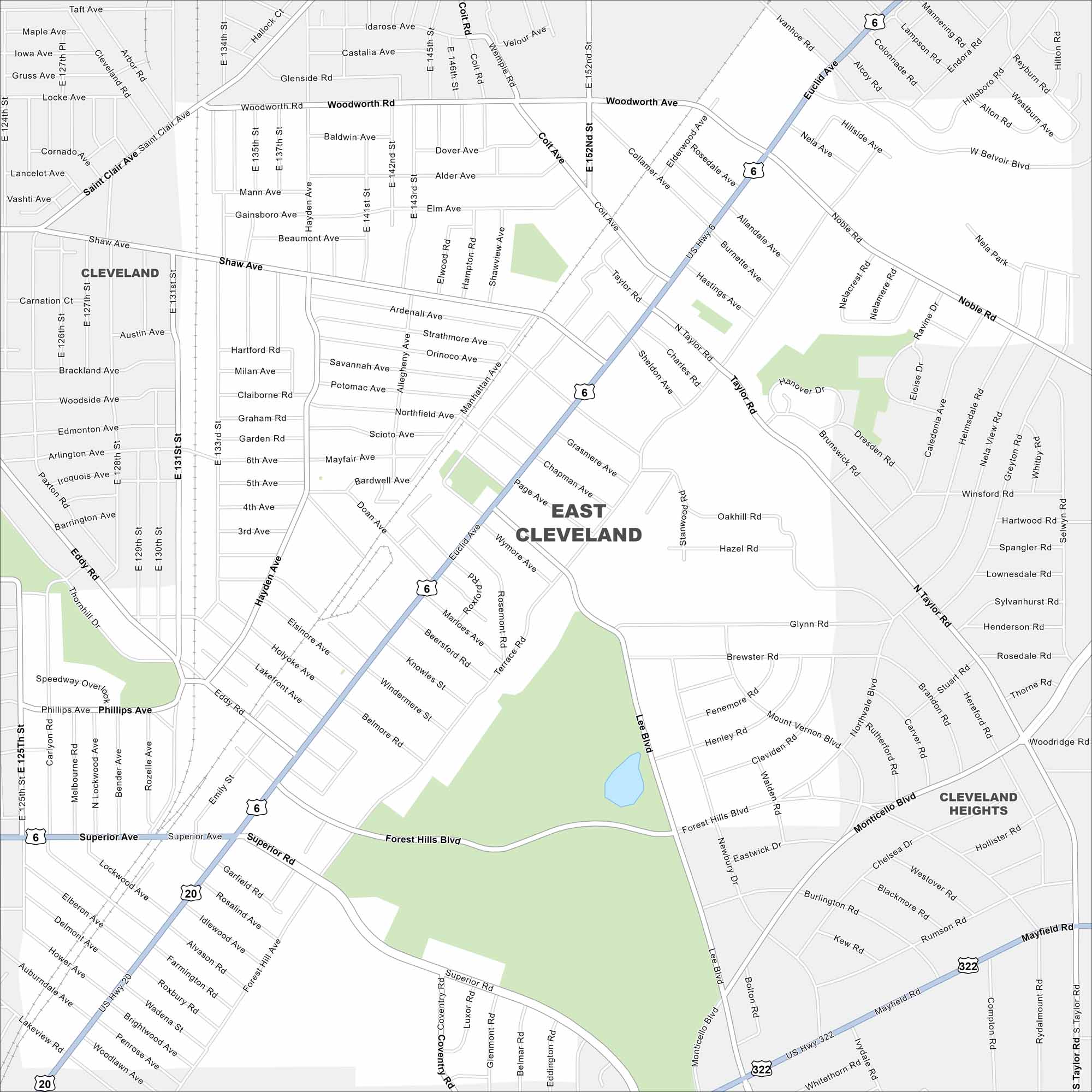
East Cleveland sits close to Lake Erie. On the map, you’ll see it bordered by Cleveland’s east side and major roadways. It’s a compact city with quick access to the lakefront.
Map Information
On the Map
Interstates/Highways: US Hwy 6, US Hwy 20, US Hwy 322 Major Roads: Euclid Ave, Superior Rd, Taylor Rd, Noble Rd, Monticello Blvd, Hayden Ave, Forest Hills Blvd, Woodworth Ave, Saint Clair Ave, Shaw Ave, Coit Ave, Page Ave, Lee Blvd, Mayfield Rd, Nela Ave, Belvoir Blvd, Terrace Rd, Belmore Rd, Brewster Rd, Glynn Rd Nearby Communities: Cleveland, Cleveland HeightsOhio State Maps
Check out our maps covering farmland or any of Ohio’s major cities.


City Maps of Ohio
Here are maps of Columbus and Ohio’s major cities


