Map of Dallas, Texas
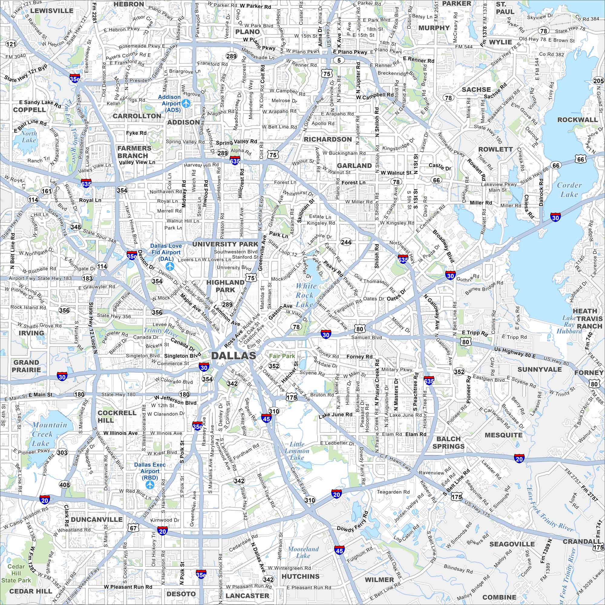
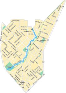
Our map of Dallas highlights major highways, city streets, and the Trinity River. As a center for business and culture, this city anchors North Texas. Its vast metro area spreads in every direction.
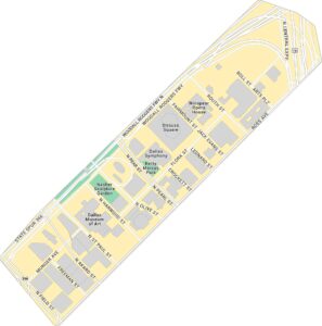
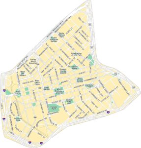
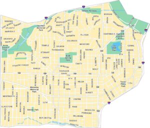
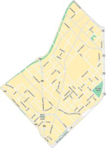
Dallas Neighborhood Maps
See our neighborhood maps for a closer look of the city.
Map Information
On the Map
Interstates/Highways: I-35E, I-635, I-30, I-20, I-45, US Hwy 75, US Hwy 175, US Hwy 80, US Hwy 67, State Hwy 114, State Hwy 121, State Hwy 183, State Hwy 161, State Hwy 289, State Hwy 352, State Hwy 356, State Hwy 190 Major Roads: Northwest Hwy, Belt Line Rd., Greenville Ave., Preston Rd., Dallas Pkwy, Forest Ln., Walnut Hill Ln., Harry Hines Blvd., Lemmon Ave., Ross Ave., Gaston Ave., Grand Ave., Jefferson Blvd., Illinois Ave., West Kiest Blvd., Hampton Rd., Ledbetter Dr., Military Pkwy, Scyene Rd., Buckner Blvd. Airports: Dallas Love Field Airport (DAL), Addison Airport (ADS), Dallas Exec Airport (RBD) Lakes and Reservoirs: White Rock Lake, Mountain Creek Lake, North Lake, Lake June, Little Lemmon Lake, Mooreland Lake Major Rivers: Trinity River Parks and Preserves: Cedar Hill State Park Nearby Communities: Addison, Farmers Branch, Carrollton, Richardson, Plano, Garland, Rowlett, Sachse, Murphy, Parker, Wylie, Rockwall, Sunnyvale, Mesquite, Balch Springs, Seagoville, Hutchins, Wilmer, Lancaster, Desoto, Cedar Hill, Duncanville, Grand Prairie, Irving, Coppell, Lewisville, HebronTexas State Maps
Scan our maps of the massive southern state of Texas.


City Maps of Texas
Explore our map collection of Texas cities.


