Downtown Dallas Map
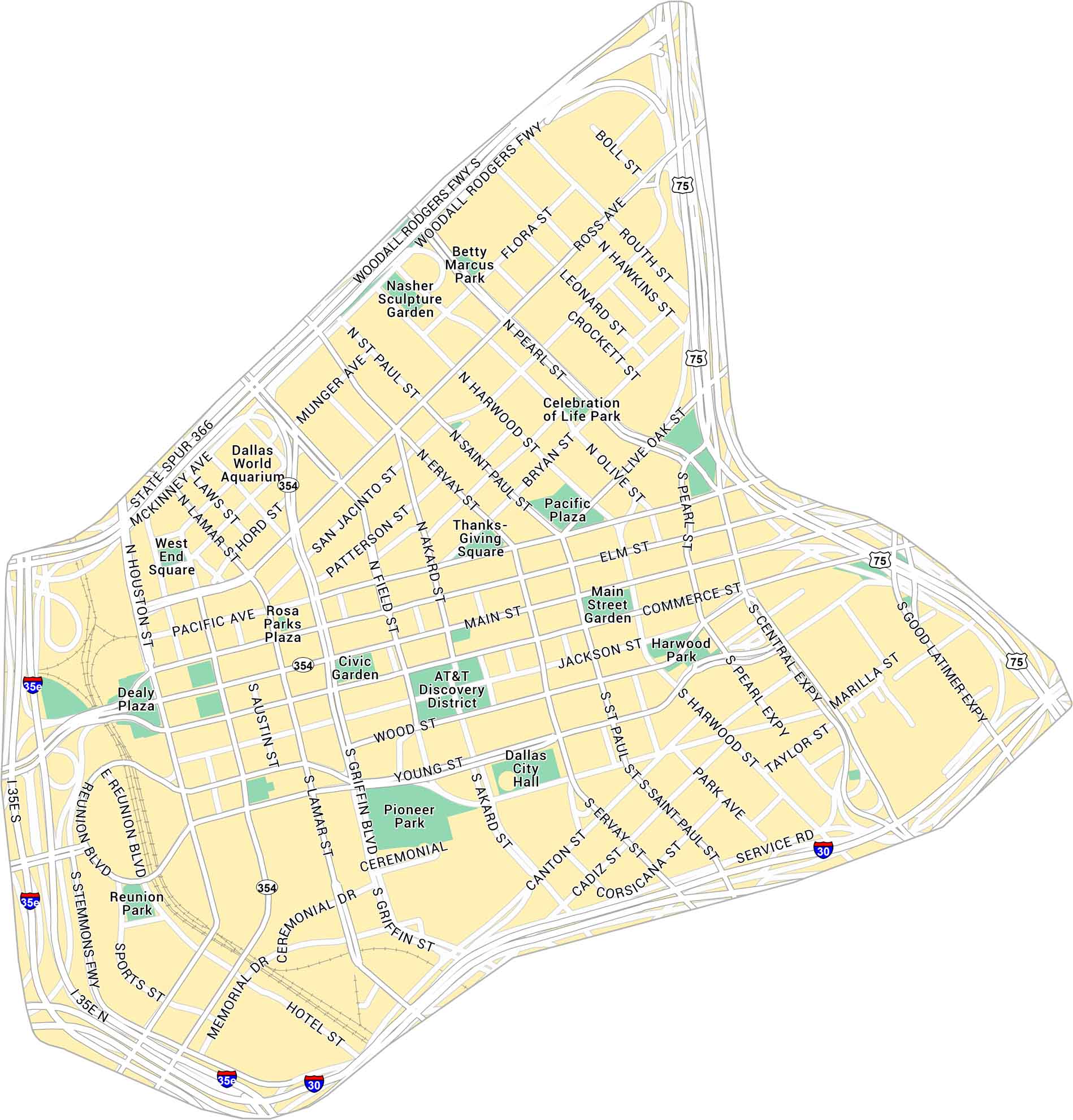
Our map of Downtown Dallas gives you a full look at the city’s core. You’ll find parks, railways and all the main routes through downtown.
Map Information
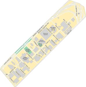
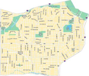
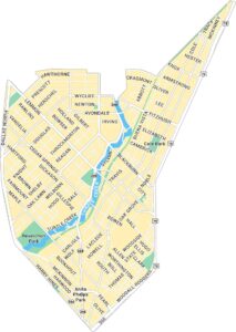
Dallas Neighborhood Maps
See our neighborhood maps for a closer look of the city.
On the Map
Interstates/Highways: I-35E, I-30, US Hwy 75, Woodall Rodgers Fwy, State Spur 366, US Hwy 354 Major Roads: Main St, Commerce St, Elm St, Pacific Ave, San Jacinto St, Ross Ave, Live Oak St, Young St, Jackson St, Wood St, Canton St, Cadiz St, Corsicana St, Marilla St, Akard St, Ervay St, St Paul St, Harwood St, Pearl St, Griffin St Parks: Pioneer Park, Main Street Garden, Pacific Plaza, Civic Garden, Dealey Plaza, West End Square, Rosa Parks Plaza, Nasher Sculpture Garden, Betty Marcus Park, Celebration of Life Park Landmarks: AT&T Discovery District, Dallas City Hall, Dallas World Aquarium, Thanksgiving Square, Reunion ParkCity Maps of Texas
Explore our map collection of Texas cities.


