Home » State Maps » Map of Connecticut

Map of Connecticut

Connecticut Map

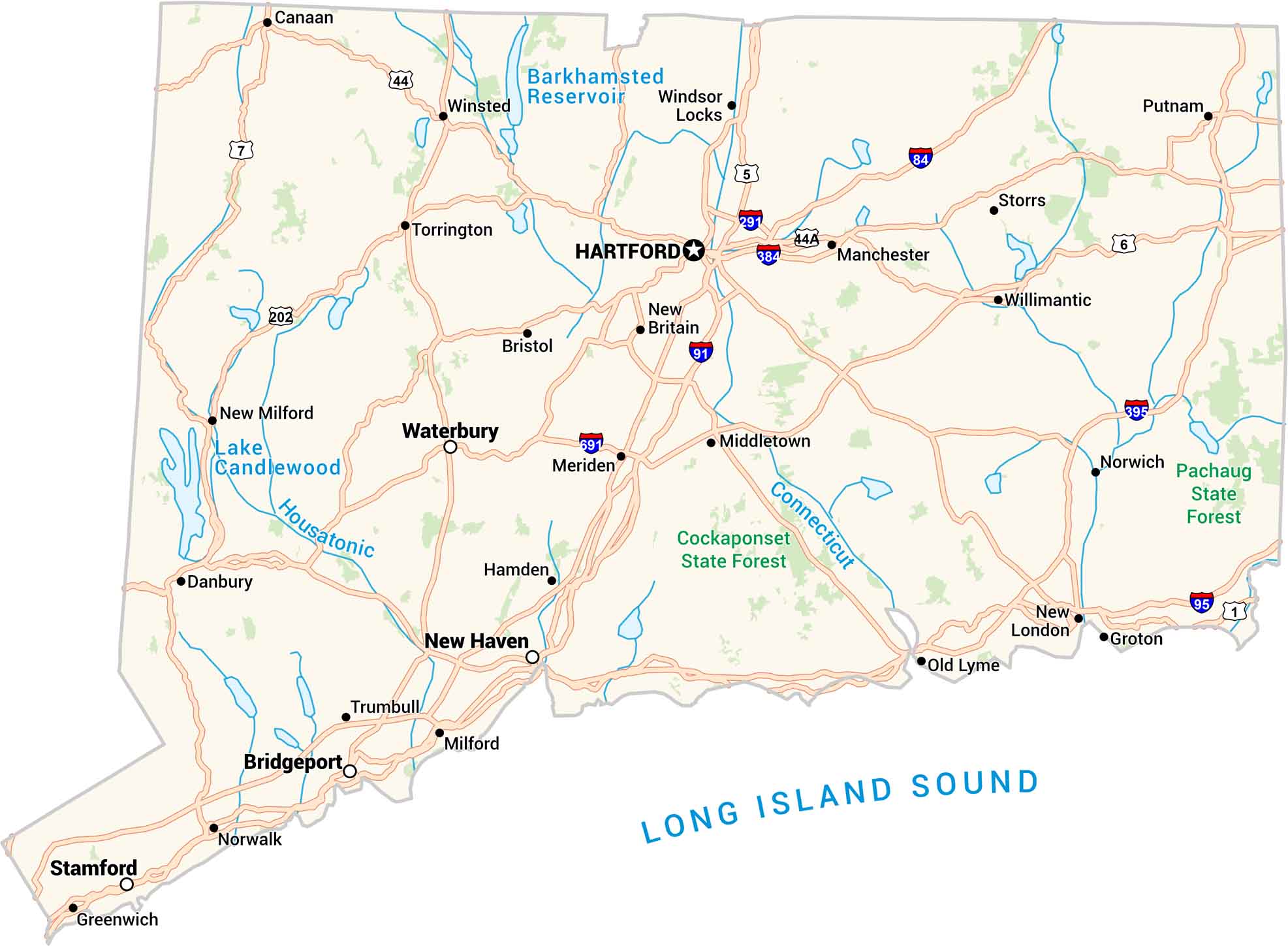
Connecticut’s got a little of everything. It has coasts, forests, and cities packed in one state. Our map of Connecticut shows it all, from the quiet roads up north to the shoreline towns along the Long Island Sound. It’s small, sure, but there’s a lot to see when you start looking.

Map Information

  • State of Connecticut
  • Road Map of Connecticut
  • Free for personal and commercial purpose. Attribution is required. How to attribute?

On the Map

Connecticut Location Map
State Capital: Hartford Major Cities: Bridgeport, New Haven, Stamford, Waterbury Cities and Towns: Bristol, Canaan, Danbury, Greenwich, Groton, Hamden, Manchester, Meriden, Middletown, Milford, New Britain, New London, New Milford, Norwalk, Norwich, Old Lyme, Putnam, Storrs, Torrington, Trumbull, Willimantic, Windsor Locks, Winsted Interstate Highways: I-84, I-91, I-95, I-291, I-384, I-395, I-684, I-691 US Routes: US Hwy 1, US Hwy 1A, US Hwy 5, US Hwy 6, US Hwy 7, US Hwy 44, US Hwy 44A, US Hwy 202 Lakes and Reservoirs: Barkhamsted Reservoir, Lake Candlewood, Long Island Sound Rivers and Streams: Connecticut River, Housatonic River National Parks and Forests: Cockaponset State Forest, Pachaug State Forest

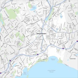
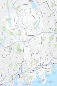
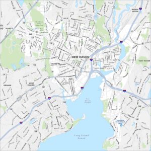
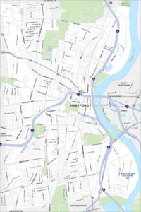
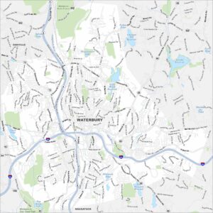
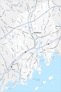
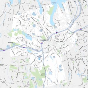
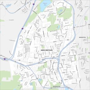
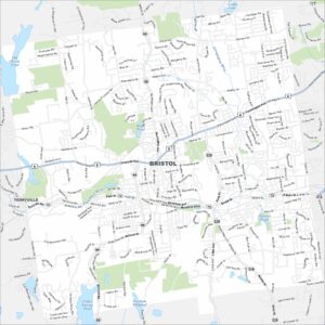
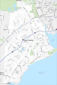
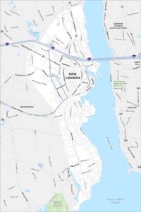
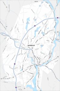
Connecticut City Maps

Browse Hartford and Connecticut’s city centers

References

  1. The Official Website of the State of Connecticut
  2. Connecticut in Google Maps

Leave a Reply

Your email address will not be published. Required fields are marked *