Map of Chillicothe, Ohio
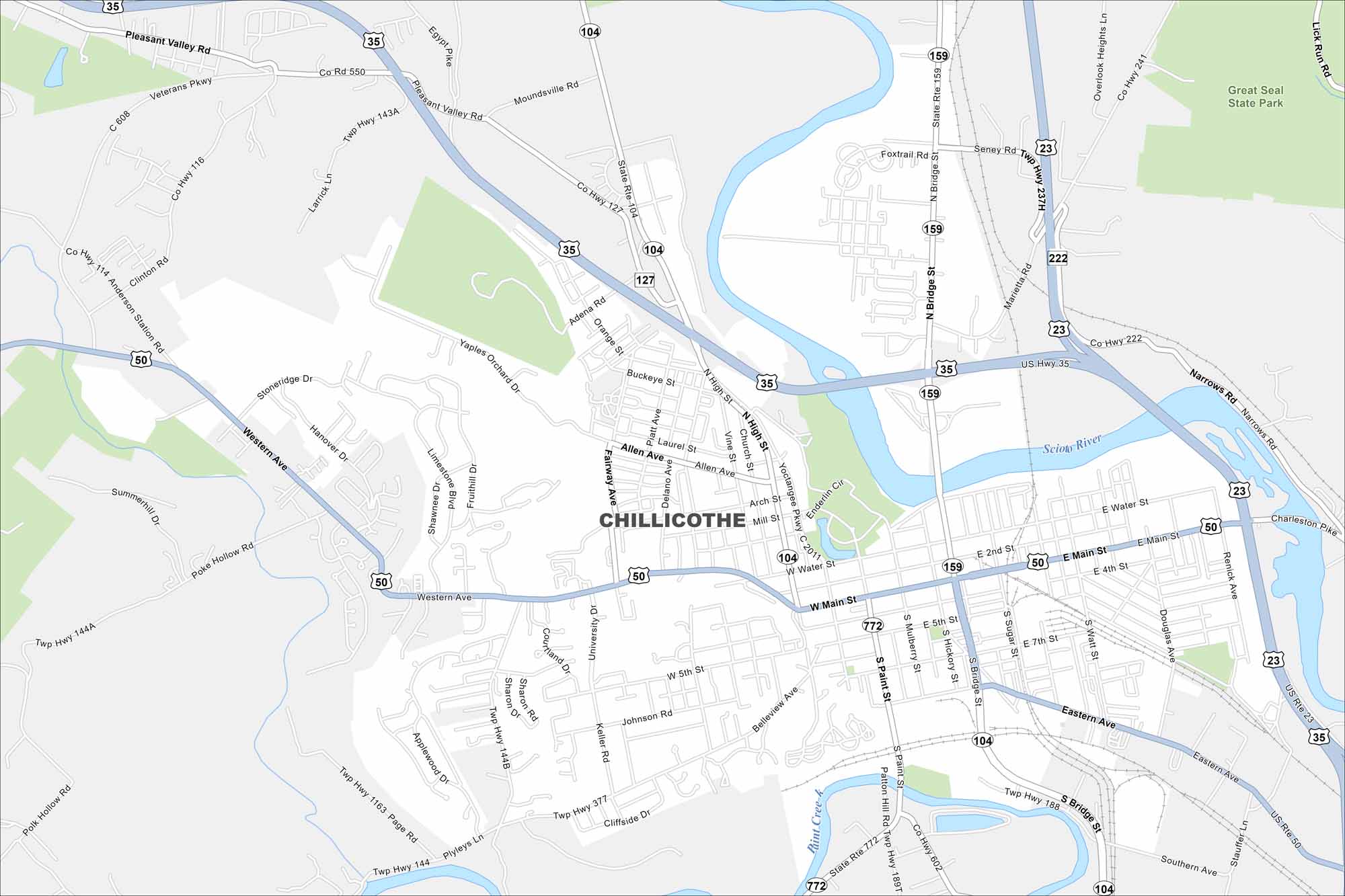
Our map of Chillicothe outlines streets, parks, and the Scioto River. Once the first capital of Ohio, the city is known for its rolling hills. Chillicothe sits in the foothills of the Appalachian region.
Map Information
On the Map
Interstates/Highways: US Hwy 35, US Hwy 50, US Hwy 23, State Rte 104, State Rte 159, State Rte 772 Major Roads: Main St, Bridge St, High St, Water St, Western Ave, Paint St, Eastern Ave, 5th St, Allen Ave, Watt St, Sugar St, Hickory St, Mulberry St, Arch St, Mill St, University Dr, Yaples Orchard Dr, Orange St, Buckeye St, Laurel St Major Rivers: Scioto River, Paint Creek Parks and Preserves: Great Seal State ParkOhio State Maps
Check out our maps covering farmland or any of Ohio’s major cities.


City Maps of Ohio
Here are maps of Columbus and Ohio’s major cities


