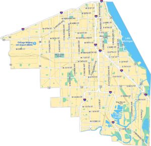
Map of Chicago, Illinois
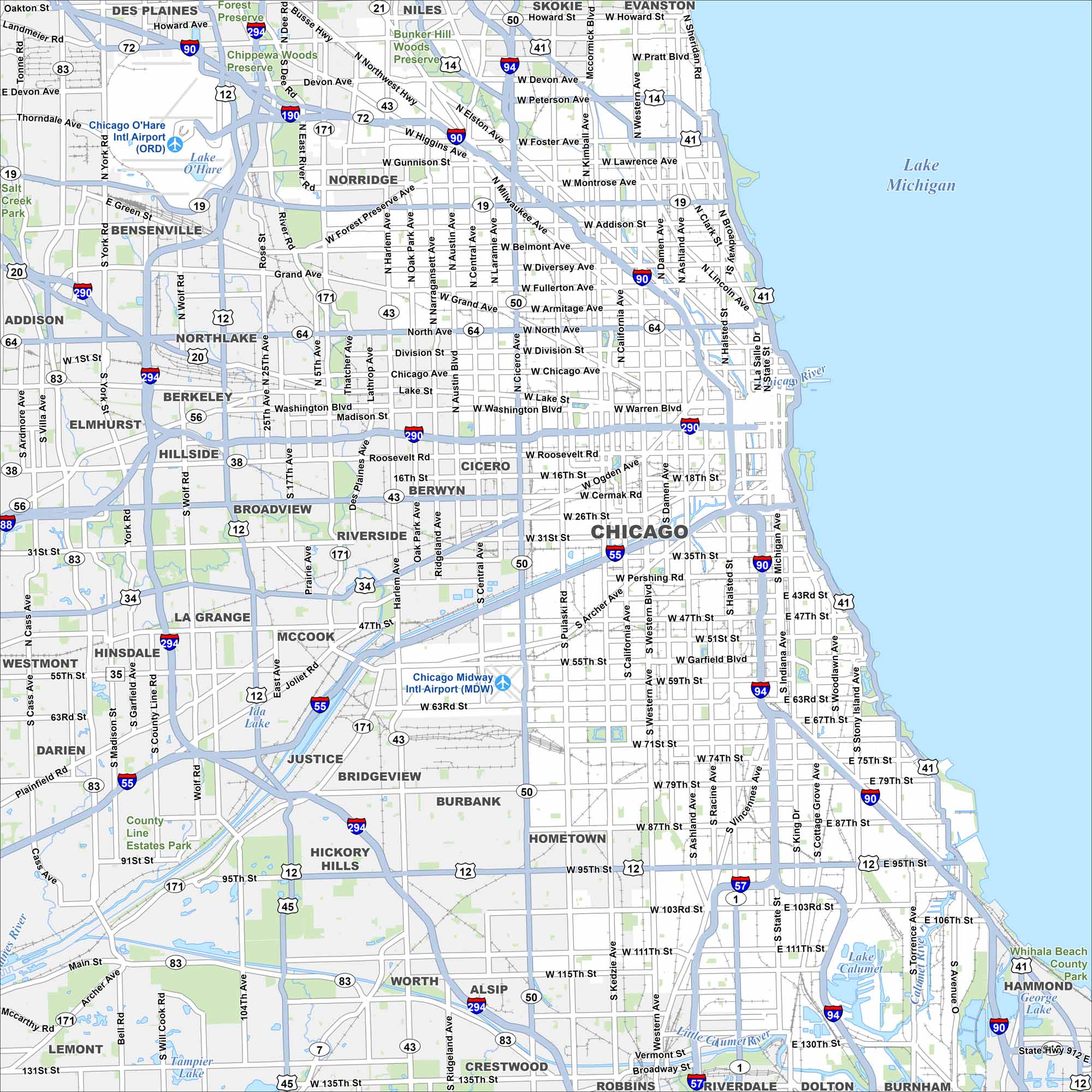
Our map of Chicago follows Lake Michigan’s shoreline with the Chicago River winding through downtown. Expressways extend outward from the Loop. The city is known as the “Windy City” with Chicago O’Hare International Airport in the northwest.
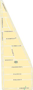
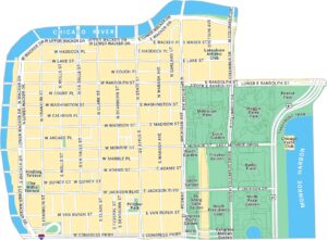
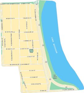
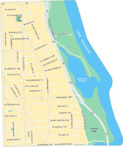
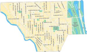
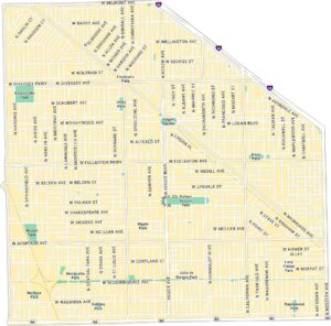
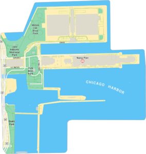
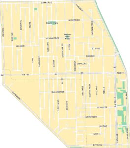
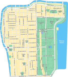
Chicago Neighborhood Maps
See our neighborhood maps for a closer look of the city.

Illinois State Maps
Get to know Illinois with our state maps


Map Information
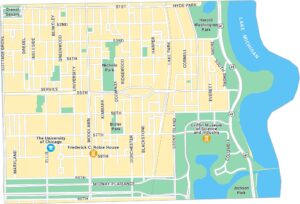
On the Map
Interstates/Highways: I-55, I-57, I-88, I-90, I-94, I-190, I-290, I-294, US Hwy 12, US Hwy 20, US Hwy 41, US Hwy 45 Major Roads: Western Ave, Ashland Ave, Halsted St, State St, Michigan Ave, Archer Ave, Cicero Ave, Pulaski Rd, Kedzie Ave, Irving Park Rd, North Ave, Chicago Ave, Roosevelt Rd, Cermak Rd, Pershing Rd, 47th St, 63rd St, 79th St, 95th St, 111th St Airports: Chicago O’Hare Intl Airport (ORD), Chicago Midway Intl Airport (MDW) Lakes and Reservoirs: Lake Michigan, Lake O’Hare, Ida Lake, Lake Calumet Major Rivers: Chicago River, Little Calumet River Parks and Preserves: Chippewa Woods Preserve, Bunker Hill Woods Preserve, County Line Estates Park Nearby Communities: Des Plaines, Niles, Skokie, Evanston, Bensenville, Norridge, Northlake, Berkeley, Elmhurst, Hillside, Broadview, Riverside, Berwyn, Cicero, La Grange, McCook, Bridgeview, Justice, Burbank, HometownIllinois City Maps
Explore Chicago and urban regions of Illinois


