Navy Pier Map, Chicago
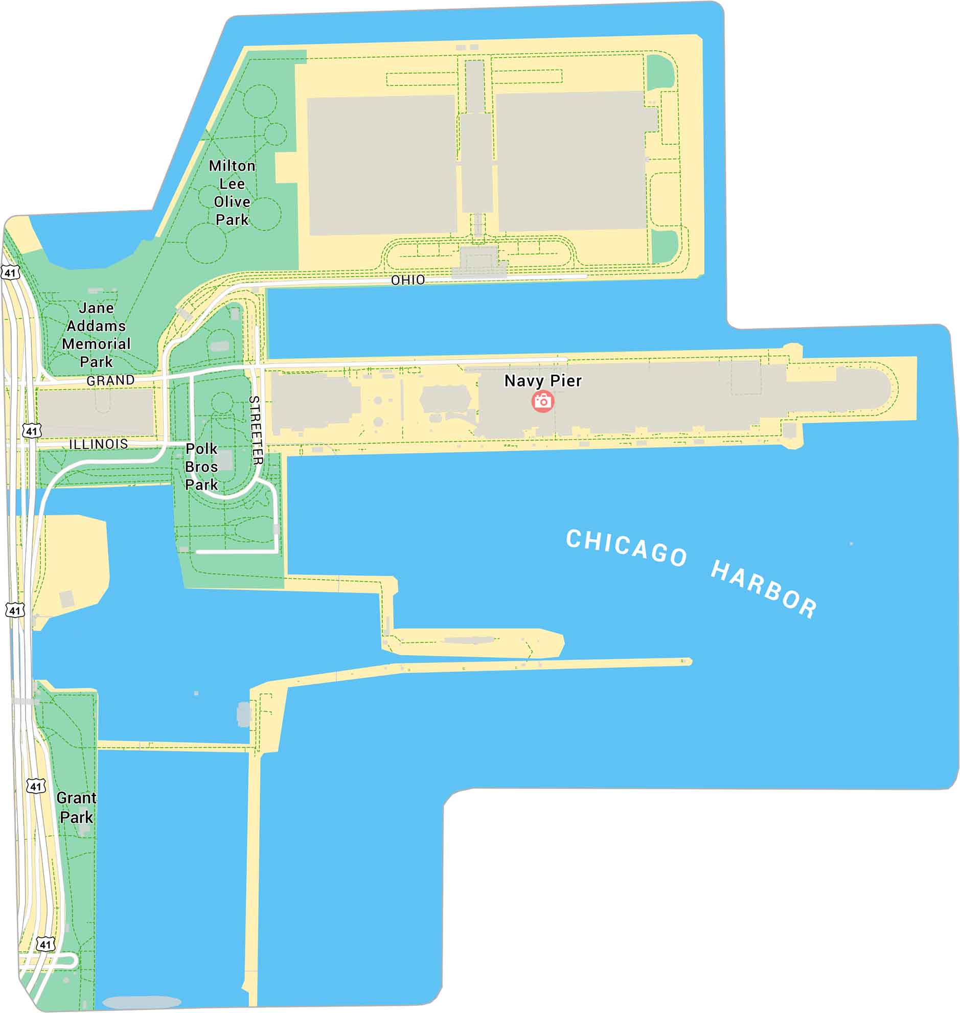
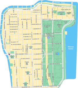
Our map of Navy Pier shows Chicago’s lakefront landmark stretching out into Lake Michigan. It highlights the pier’s layout, nearby parks, and U.S. Highway 41. It’s a major spot for views, events, and waterfront walks.
Map Information
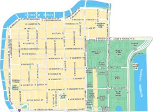
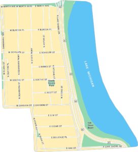
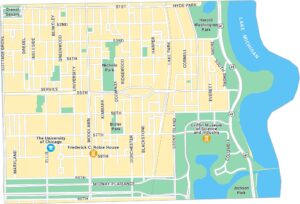
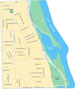
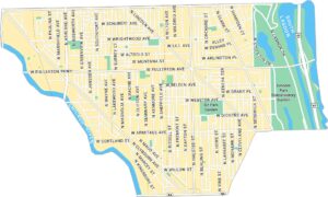
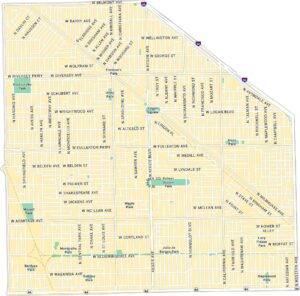
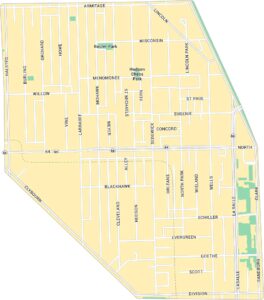
Chicago Neighborhood Maps
See our neighborhood maps for a closer look of the city.


On the Map
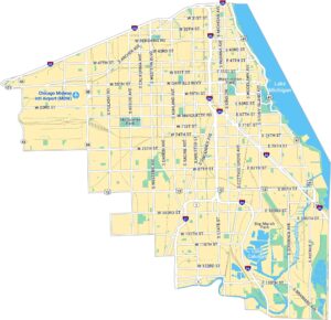
Interstates/Highways: US Hwy 41 Major Roads: Grand, Illinois, Ohio, Streeter Harbors/Lakes: Chicago Harbor Parks: Navy Pier, Polk Bros Park, Jane Addams Memorial Park, Milton Lee Olive Park, Grant ParkIllinois City Maps
Explore Chicago and urban regions of Illinois


