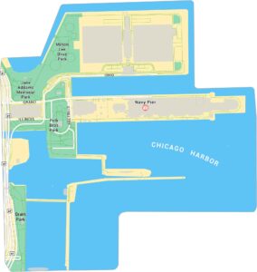
The Loop Map, Chicago
The Loop is Chicago’s core. Our map highlights its streets, parks, and landmarks that define downtown. It’s the city’s business hub by day. But its lights and energy never really fade.
Map Information
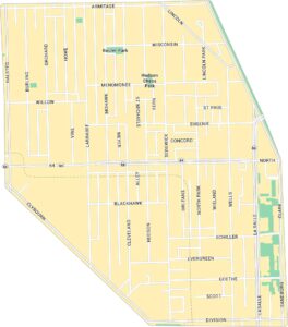
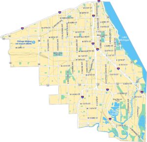
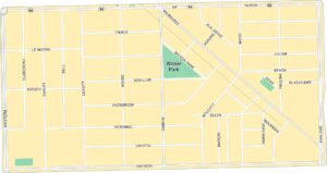
Chicago Neighborhood Maps
See our neighborhood maps for a closer look of the city.
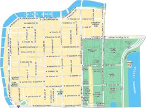

On the Map
Interstates/Highways: I-290, US Hwy 41 Major Roads: Michigan Ave, State St, Wacker Dr, Congress Pkwy, Roosevelt Rd, Jackson Blvd, Madison St, Washington St, Randolph St, Monroe St, Adams St, Van Buren St, Harrison St, Balbo Ave, LaSalle St, Clark St, Dearborn St, Wells St, Franklin St, Columbus Dr Harbors/Rivers: Chicago River, Monroe Harbor Parks: Grant Park, Millennium Park, Maggie Daley Park, Peanut Park, Roosevelt Park, Dearborn Park, Printers Row Park, Pritzker Park, D’Angelo Park, Grant Bark Park Landmarks: The Art Institute of Chicago, Lakefront Trail, Pedway, McCormick Place BuswayIllinois City Maps
Explore Chicago and urban regions of Illinois


