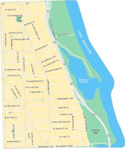
Old Town Chicago Map
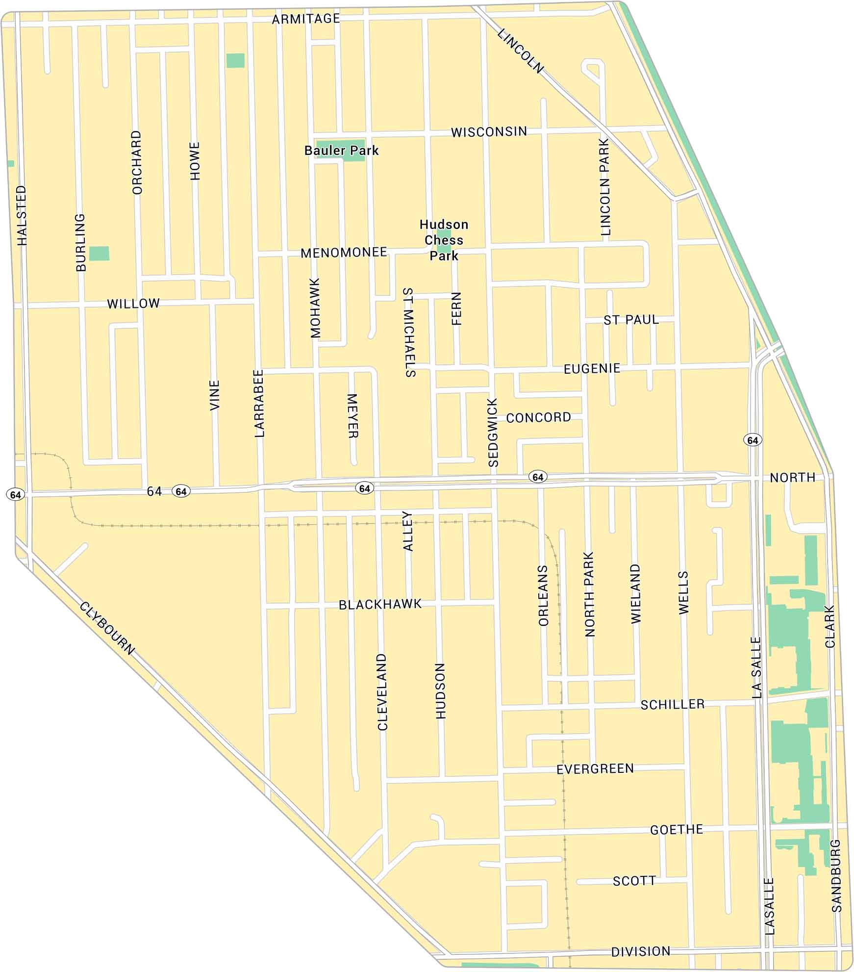
Old Town sits just north of downtown Chicago, between Lincoln Park and the Near North Side. Our map of Old Town Chicago shows its main roads, parks, and rail lines.
Map Information
Chicago Neighborhood Maps
See our neighborhood maps for a closer look of the city.

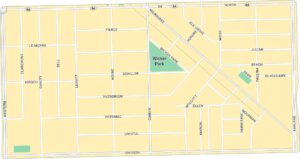
On the Map
Interstates/Highways: State Rte 64 Major Roads: LaSalle, Clark, Halsted, Clybourn, Sedgwick, Larrabee, Wells, North, Division, Armitage, Lincoln, Wisconsin, Schiller, Goethe, Scott, Evergreen, Blackhawk, Willow, Menomonee, Eugenie Major Rivers: Bauler Park, Hudson Chess ParkIllinois City Maps
Explore Chicago and urban regions of Illinois


