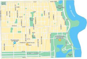
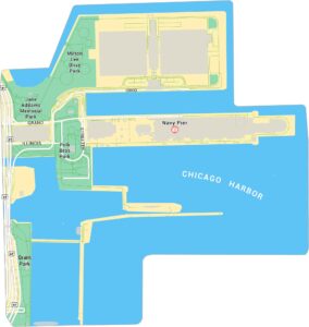
South Side Map, Chicago
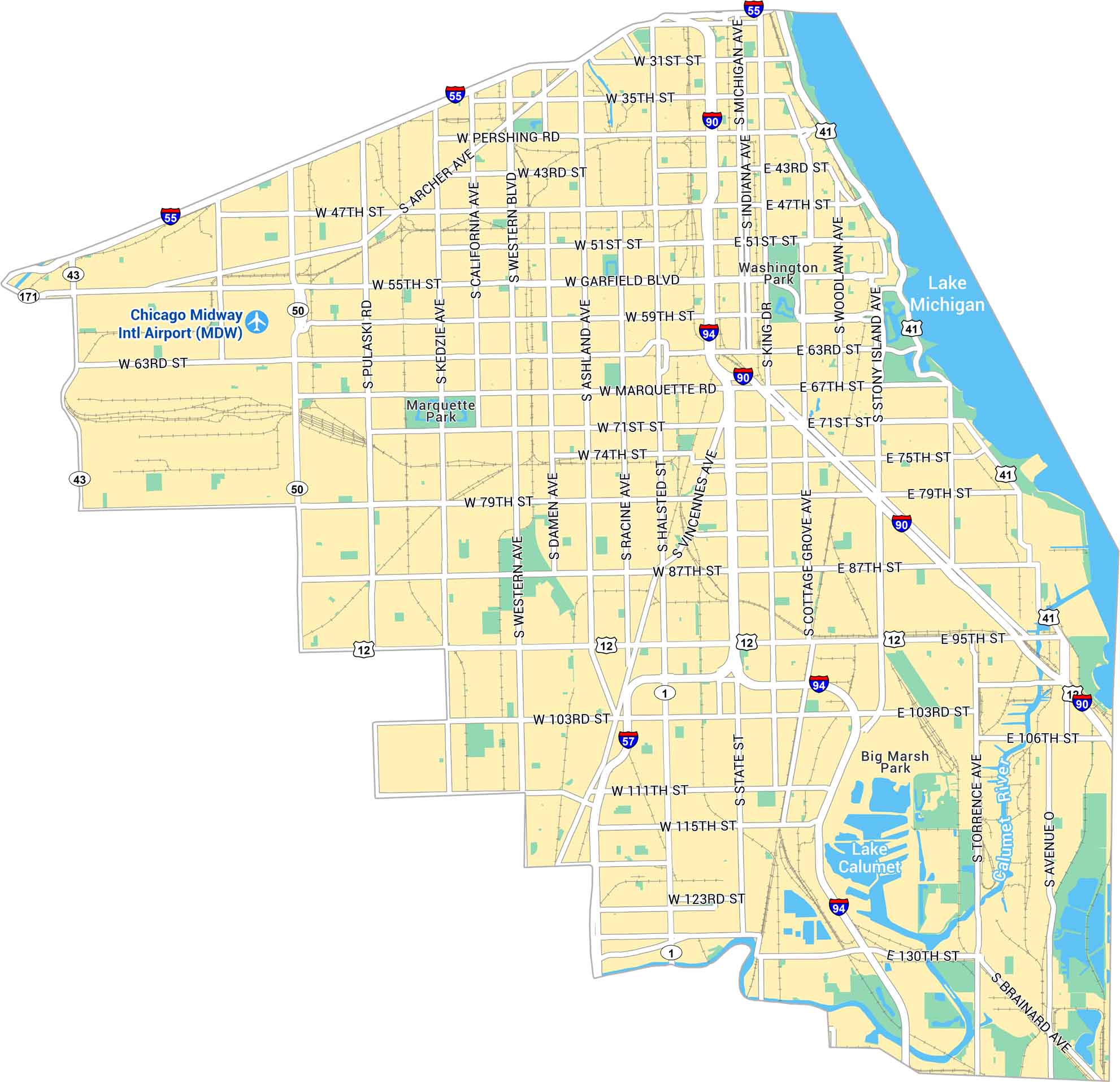
Our map of Chicago’s South Side displays a vast stretch of neighborhoods rich in history and culture. You’ll spot parks, lakefront paths, and busy streets.
Map Information
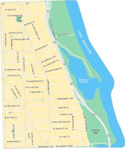
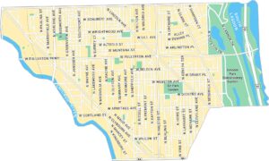
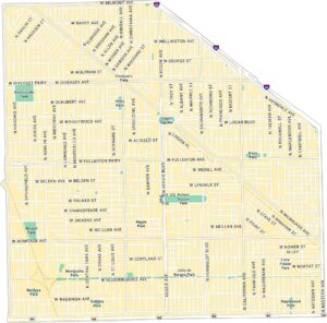
Chicago Neighborhood Maps
See our neighborhood maps for a closer look of the city.

On the Map
Interstates/Highways: I-55, I-90, I-94, US Hwy 41, US Hwy 12, State Rte 50, State Rte 43, State Rte 171 Major Roads: Western Ave, Halsted St, Michigan Ave, State St, Pulaski Rd, Ashland Ave, Kedzie Ave, Archer Ave, Pershing Rd, Garfield Blvd, Marquette Rd, Stony Island Ave, Woodlawn Ave, Cottage Grove Ave, King Dr, Vincennes Ave, Torrence Ave, Brainard Ave, 31st St, 35th St Lakes/Rivers: Lake Michigan, Lake Calumet, Calumet River Parks: Washington Park, Marquette Park, Big Marsh Park Airports: Chicago Midway Intl Airport (MDW)Illinois City Maps
Explore Chicago and urban regions of Illinois


