Hyde Park Map, Chicago
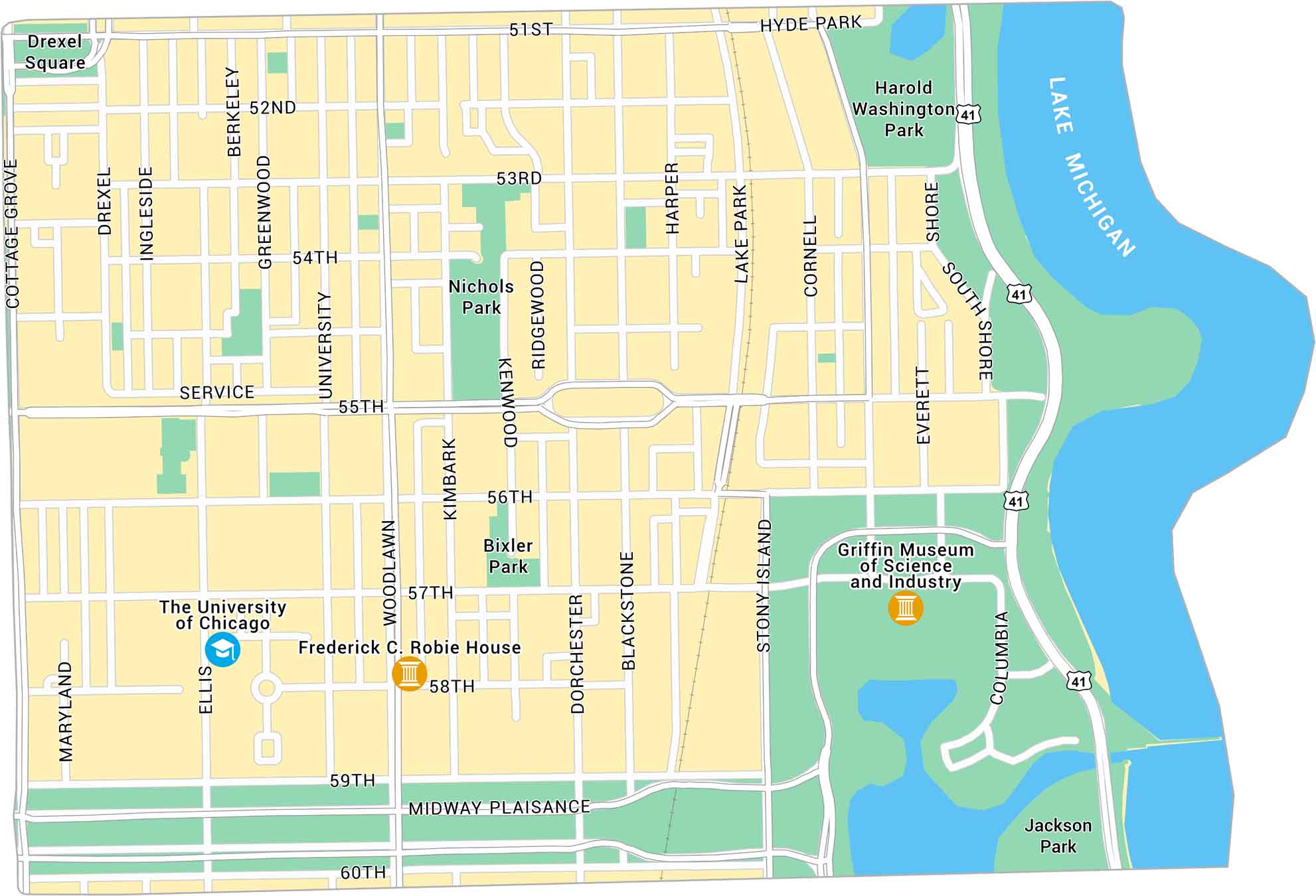
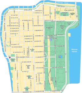
Hyde Park runs along Lake Michigan with a mix of campus streets, museums, and old trees. Our map lays out its wide blocks and paths that lead straight to the water. It’s a standout pocket of the South Side.
Map Information
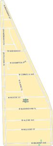
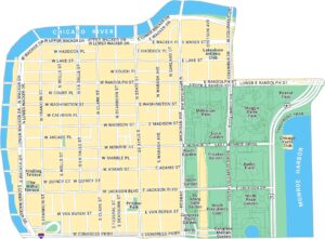
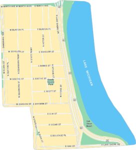
Chicago Neighborhood Maps
See our neighborhood maps for a closer look of the city.

On the Map
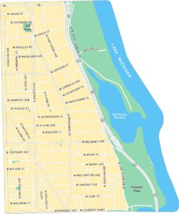
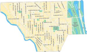
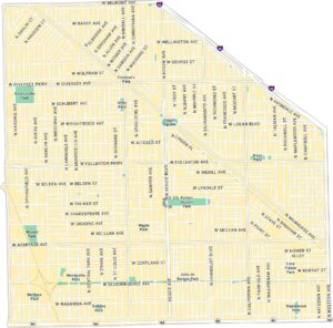
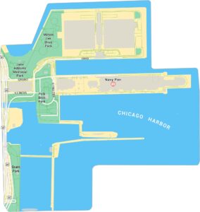
Interstates/Highways: US Hwy 41 Major Roads: 51st, 55th, 57th, 53rd, 59th, 60th, 58th, 52nd, 54th, 56th, Woodlawn, University, Ellis, Dorchester, Blackstone, Stony Island, Cornell, Lake Park, Harper, Kenwood Lakes/Rivers: Lake Michigan Parks: Jackson Park, Harold Washington Park, Nichols Park, Bixler Park Landmarks: Griffin Museum of Science and Industry, The University of Chicago, Frederick C. Robie HouseIllinois City Maps
Explore Chicago and urban regions of Illinois


