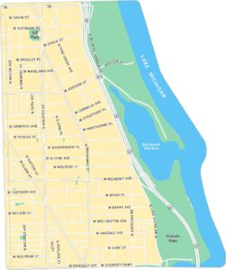
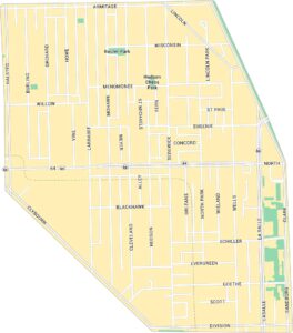
Boystown Map, Chicago
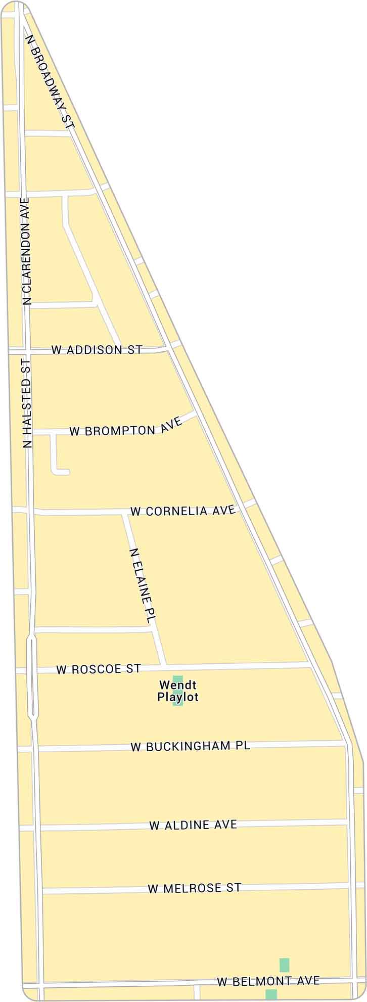
Our map of Boystown highlights the lively stretch around North Halsted in Chicago. It includes neighborhood streets and local parks.
Map Information
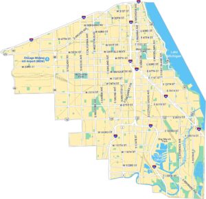
Chicago Neighborhood Maps
See our neighborhood maps for a closer look of the city.

On the Map
Major Roads: Halsted St, Broadway St, Addison St, Belmont Ave, Roscoe St, Cornelia Ave, Melrose St, Aldine Ave, Buckingham Pl, Brompton Ave, Clarendon Ave, Elaine Pl Parks: Wendt PlaylotIllinois City Maps
Explore Chicago and urban regions of Illinois


