Map of Centerville, Ohio
Explore Centerville with our map. It shows quiet neighborhoods and nearby parks. You’ll find it just south of Dayton with great city access.
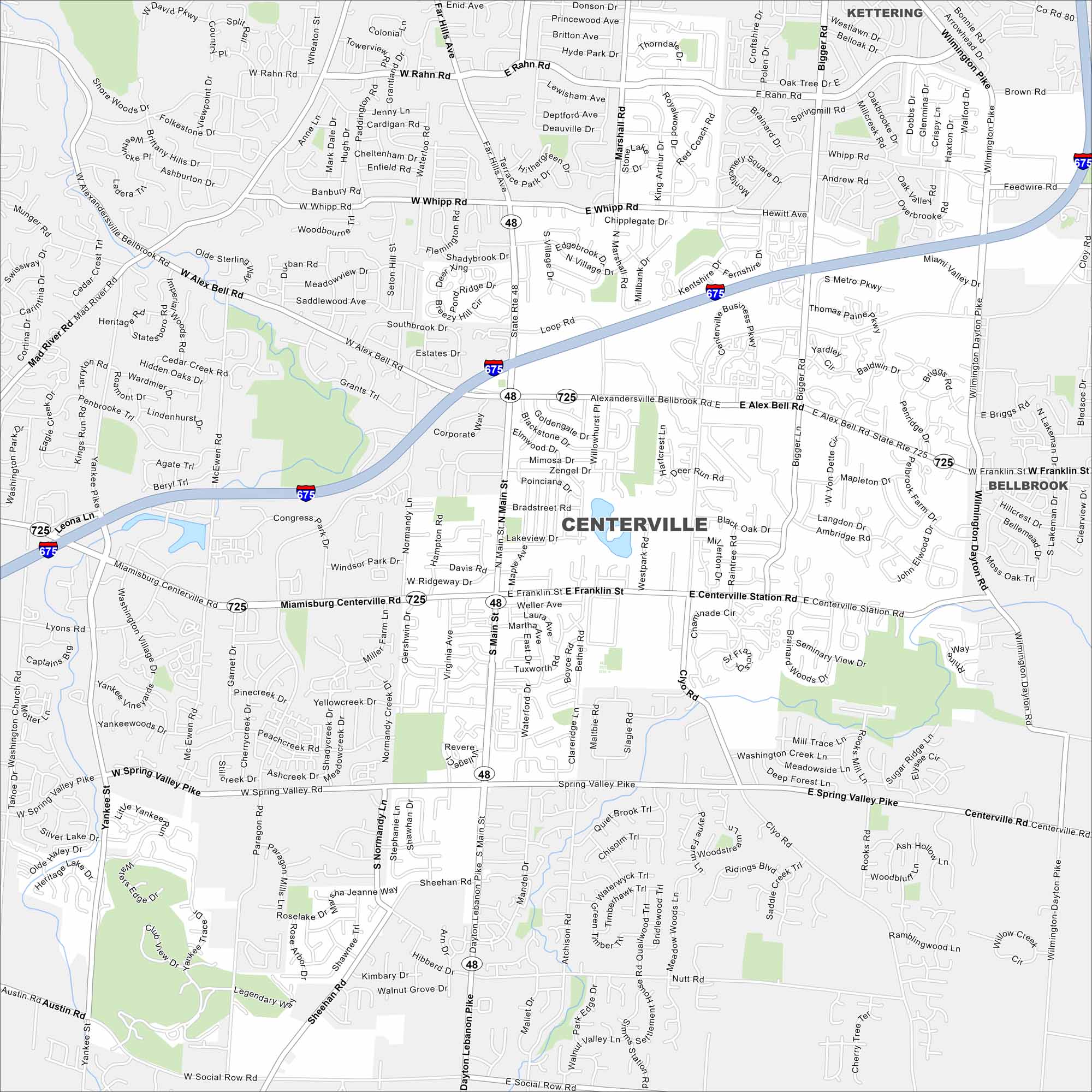
Map Information
On the Map
Interstates/Highways: I-675, State Rte 48, State Rte 725 Major Roads: Main St, Alex Bell Rd, Whipp Rd, Rahn Rd, Mad River Rd, Miamisburg Centerville Rd, Franklin St, Centerville Station Rd, Spring Valley Pike, Social Row Rd, Dayton Lebanon Pike, Sheehan Rd, Clyo Rd, Wilmington Pike, Bigger Rd, Far Hills Ave, Paragon Rd, Yankee St, Nutt Rd, Marshall Rd Nearby Communities: Kettering, BellbrookOhio State Maps
Check out our maps covering farmland or any of Ohio’s major cities.


City Maps of Ohio
Here are maps of Columbus and Ohio’s major cities


