University City Map, Philadelphia
University City in Philadelphia is a hub of innovation. Our map shows the University of Pennsylvania, Drexel University, and its streets.
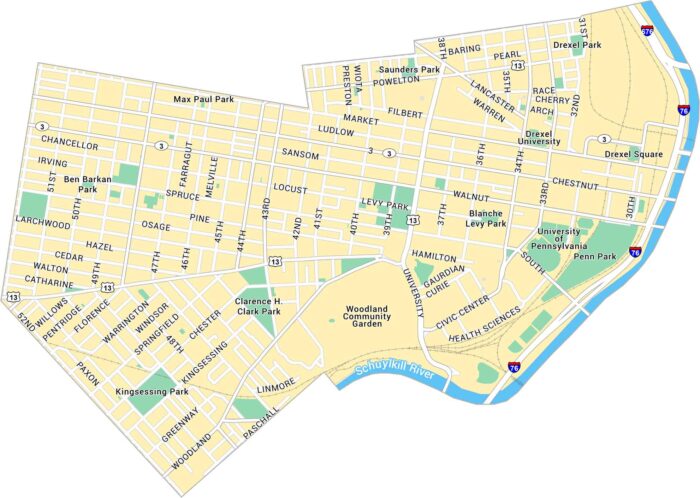
University City in Philadelphia is a hub of innovation. Our map shows the University of Pennsylvania, Drexel University, and its streets.
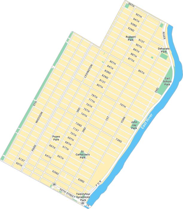
Upper East Side is classic Manhattan elegance. Our map shows Fifth Avenue, Central Park’s eastern edge, and the quiet residential streets.
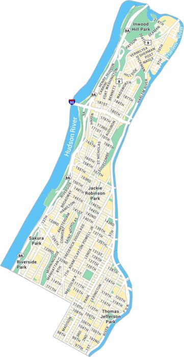
Upper Manhattan rises above with its history and green space. Our map shows this area sandwiched between the Hudson and Harlem River.
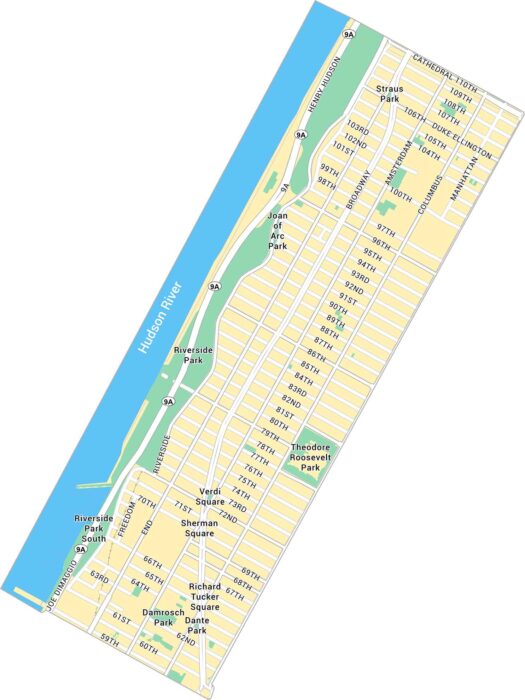
Our Upper West Side map shows Broadway, Riverside Park and the blocks near Central Park. It’s cultured, neighborly, and feels a little slower.
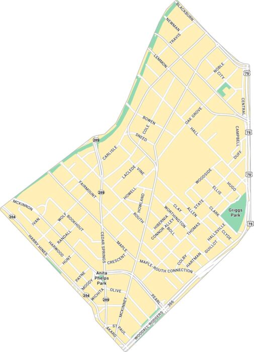
Uptown Dallas feels modern with a lot of heart. Our map highlights McKinney Avenue, the Katy Trail, and its entire road network.
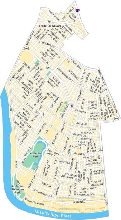
Our map of Uptown, New Orleans shows Magazine Street, Audubon Park, and every turn leading toward the Mississippi River.
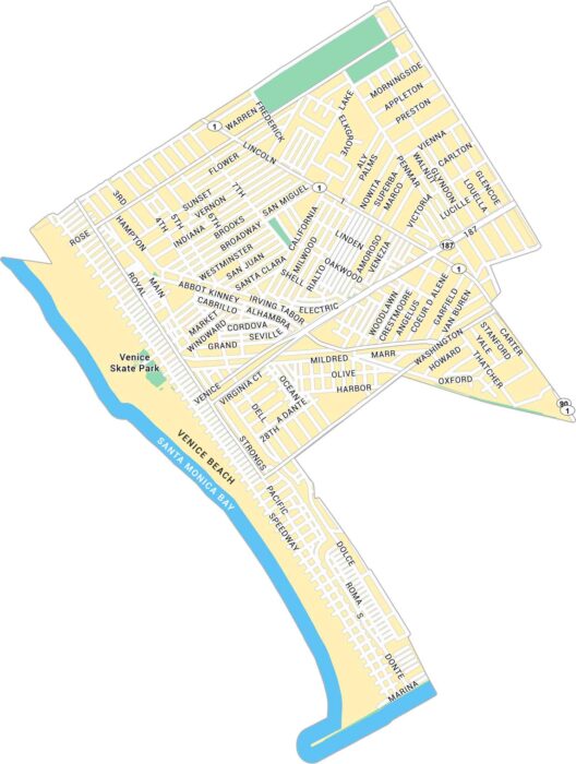
Venice feels like its own world by Santa Monica Bay. Our map of Venice highlights Venice Beach, parks and its streets.
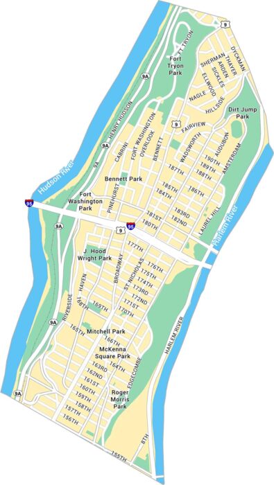
Our map of Washington Heights highlights its steep streets, the George Washington Bridge, and stretches of Fort Tryon Park.
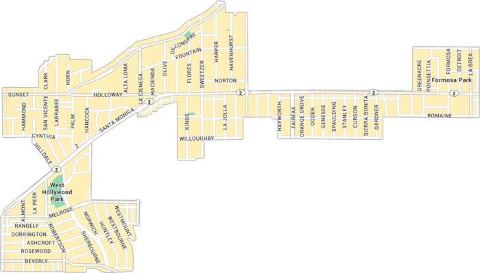
West Hollywood buzzes with character. Our map of West Hollywood shows Sunset Boulevard, Melrose Avenue, and its residential streets.
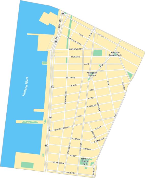
The West Village feels like its own little world. Our map of West Village guides you through its winding layout along the Hudson River.
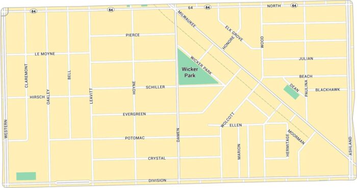
Wicker Park has lots of life to it. Our map lays out every corner, from the busy six-corner intersection to quiet side streets.
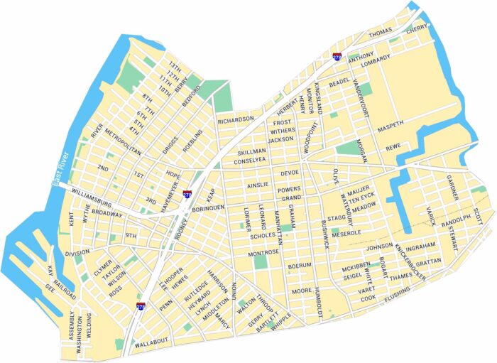
Our map of Williamsburg in New York shows its streets along the East River and into Brooklyn. You’ll see parks, main roads and the waterfront.