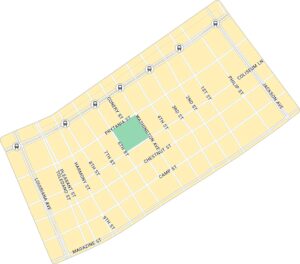
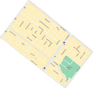
Uptown Map, New Orleans
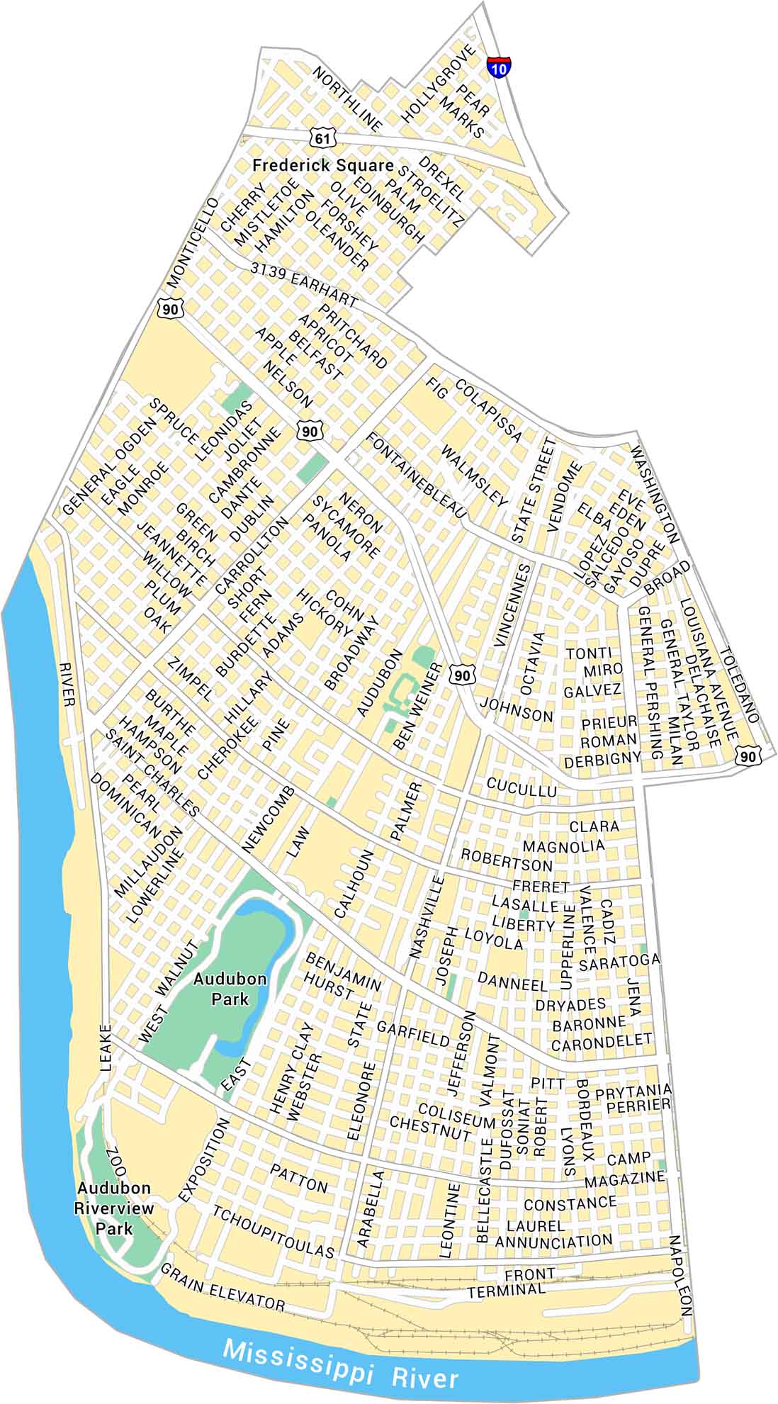
Our map of Uptown, New Orleans shows Magazine Street, Audubon Park, and every turn leading toward the Mississippi River. It’s calm in places, loud in others, but always unmistakably New Orleans.
Map Information
On the Map
Interstates/Highways: I-10, US Hwy 90, US Hwy 61 Major Roads: St Charles Ave, Claiborne Ave, Carrollton Ave, Jefferson Ave, Napoleon Ave, Broadway St, Louisiana Ave, Magazine St, Tchoupitoulas St, Earhart Blvd, Nashville Ave, State St, Calhoun St, Leonidas St, Monticello Ave, Hollygrove St, Lowerline St, Walnut St Major Rivers: Mississippi River Parks: Audubon Park, Audubon Riverview ParkNew Orleans Neighborhood Maps
See our neighborhood maps for a closer look of the city.
City Maps of Louisiana
Explore New Orleans and Louisiana’s urban centers with our city maps