University City Map, Philadelphia
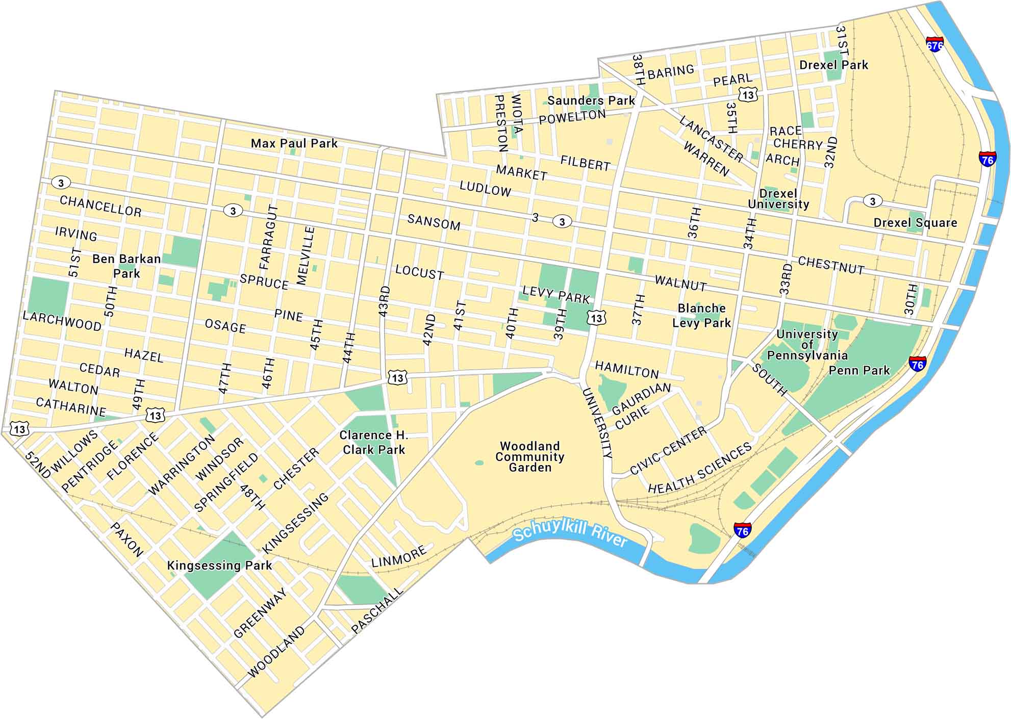
University City in Philadelphia is a hub of learning and innovation. Our map shows the University of Pennsylvania, Drexel University, and the streets connecting them. It’s busy, youthful, and full of energy, with the Schuylkill River running nearby.
Map Information
On the Map
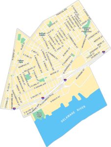
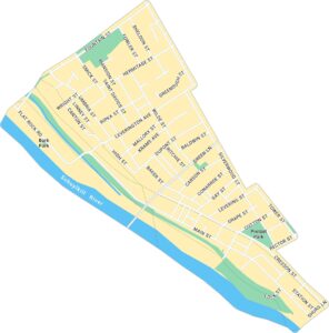
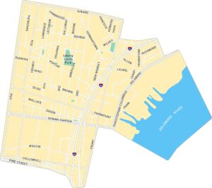
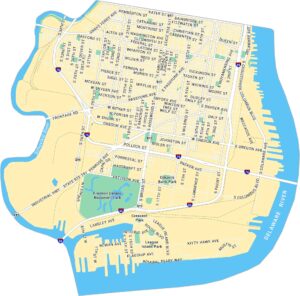
Interstates/Highways: I-76, I-676, State Rte 3, State Rte 13 Major Roads: Market St, Chestnut St, Walnut St, Spruce St, South St, University Ave, Woodland Ave, Kingsessing Ave, Lancaster Ave, Baring St, Powelton Ave, 30th St, 33rd St, 34th St, 38th St, 40th St, 52nd St, Civic Center Blvd Major Rivers: Schuylkill River Parks: Penn Park, Drexel Park, Drexel Square, Clarence H. Clark Park, Saunders Park, Levy Park, Blanche Levy Park, Ben Barkan Park, Kingsessing Park, Max Paul ParkPhiladelphia Neighborhood Maps
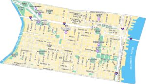
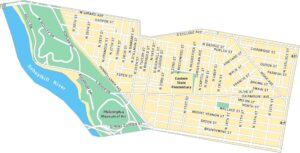
See our neighborhood maps for a closer look of the city.
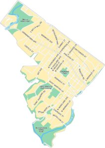
City Maps of Pennsylvania
Here is our city map collection for all of Pennsylvania.


