Map of Brooklyn, Ohio
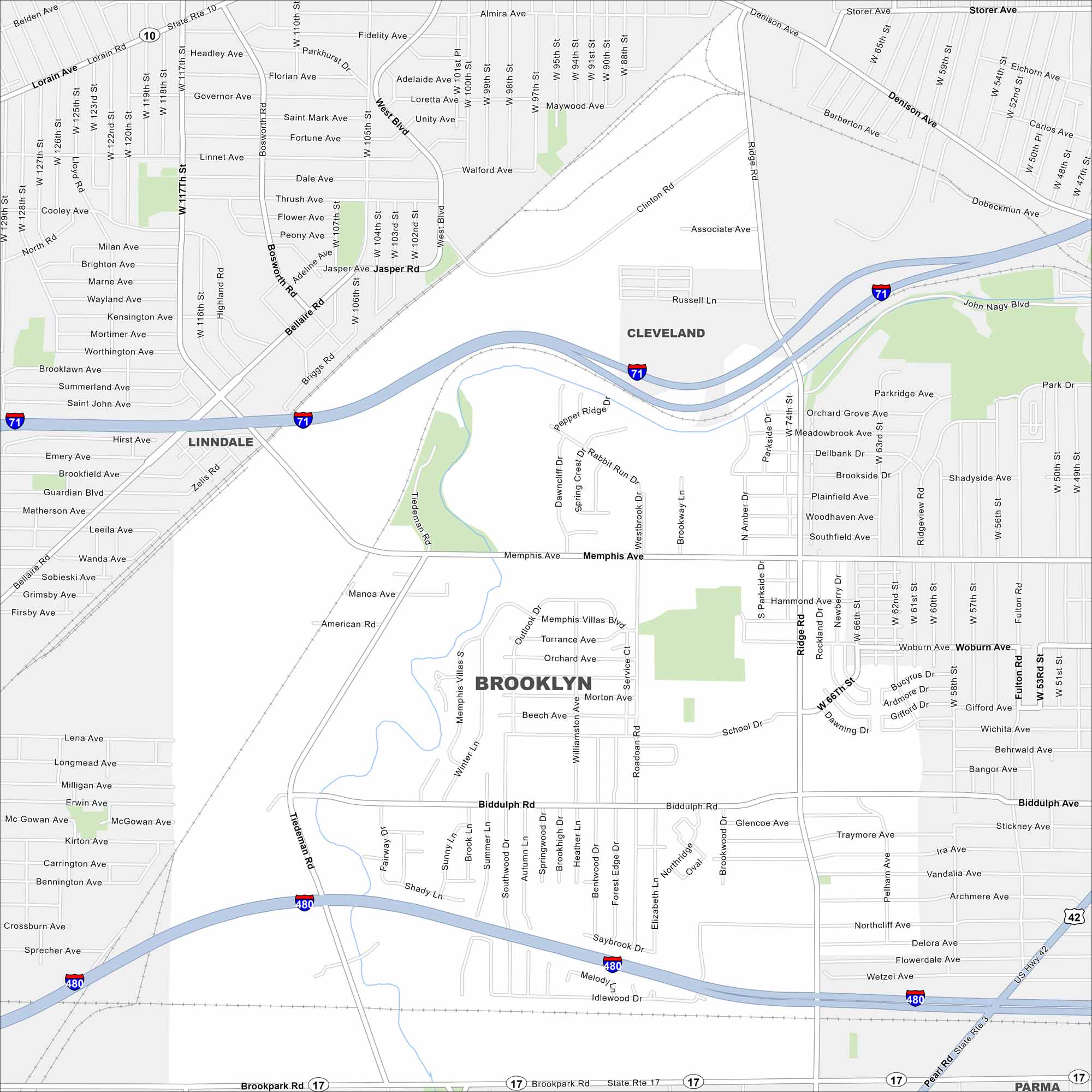
Our map of Brooklyn shows its compact layout west of Cleveland. Streets connect quickly into the larger metro. It feels small but tied closely to the city around it.
Map Information
On the Map
Interstates/Highways: I-71, I-480, US Hwy 42, State Rte 3, State Rte 10, State Rte 17 Major Roads: Biddulph Rd, Memphis Ave, Tiedeman Rd, Ridge Rd, Pearl Rd, Brookpark Rd, W 117th St, W 130th St, Denison Ave, Clinton Rd, Fulton Rd, Bellaire Rd, Jasper Rd, Snow Rd, Hummel Rd, Smith Rd, Orchard Ave, Roadoan Rd, Northridge Oval, Hinckley Rd Nearby Communities: Linndale, Cleveland, ParmaOhio State Maps
Check out our maps covering farmland or any of Ohio’s major cities.


City Maps of Ohio
Here are maps of Columbus and Ohio’s major cities


