Map of Boston, Massachusetts
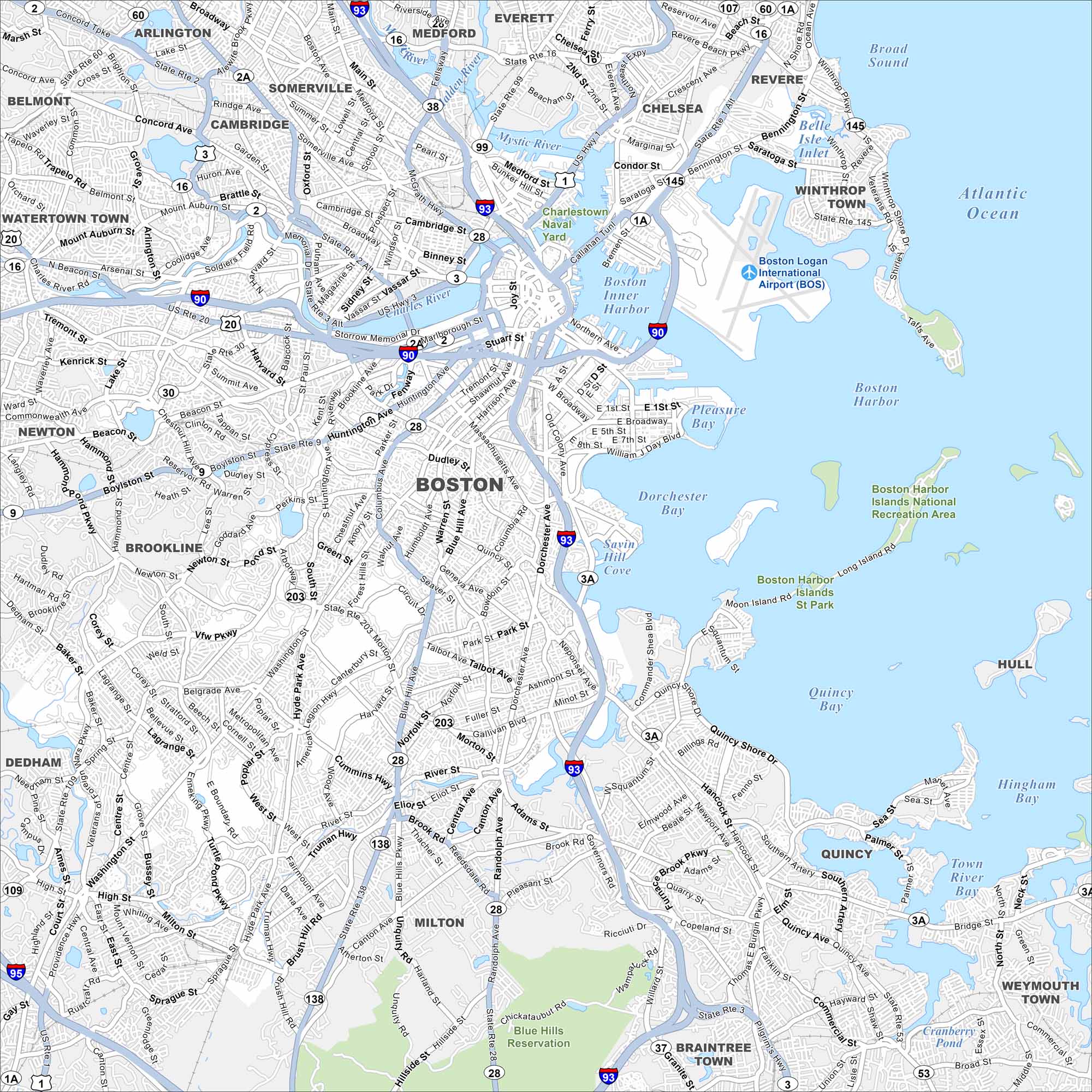
Boston is one of the oldest cities in the U.S. Take a look at our map of winding streets, the harbor, and parks. It’s often called the “Cradle of Liberty” because of its history.
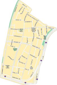
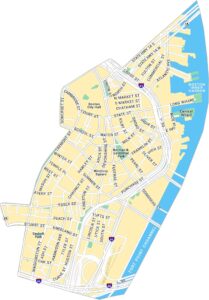
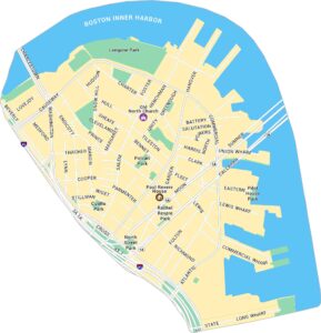
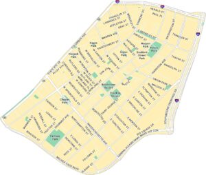
Boston Neighborhood Maps
See our neighborhood maps for a closer look of the city.
Map Information
On the Map
Interstates/Highways: I-93, I-90, I-95, US Hwy 1, US Rte 20, State Rte 2, State Rte 2A, State Rte 3, State Rte 28, State Rte 30, State Rte 138, State Rte 203, State Rte 107, State Rte 1A, State Rte 145, State Rte 109, State Rte 114 Major Roads: Massachusetts Ave, Beacon St, Commonwealth Ave, Boylston St, Washington St, Dorchester Ave, Blue Hill Ave, Morton St, Gallivan Blvd, American Legion Hwy, Columbus Ave, Tremont St, Cambridge St, Broadway, Main St, Chelsea St, Bennington St, Saratoga St, Day Blvd, Morrissey Blvd Airports: Boston Logan International Airport (BOS) Lakes and Reservoirs: Boston Harbor, Dorchester Bay, Quincy Bay, Broad Sound, Boston Inner Harbor, Savin Hill Cove, Pleasure Bay, Old Harbor, Hingham Bay, Town River Bay, Cranberry Pond, Belle Isle Inlet Major Rivers: Charles River, Mystic River, Neponset River, Malden River Parks and Preserves: Blue Hills Reservation, Boston Harbor Islands National Recreation Area, Charlestown Naval Yard Nearby Communities: Cambridge, Somerville, Brookline, Quincy, Milton, Dedham, Newton, Watertown Town, Belmont, Arlington, Medford, Everett, Chelsea, Revere, Winthrop Town, Braintree Town, Weymouth TownMassachusetts State Maps
Here’s our state maps of Massachusetts


City Maps of Massachusetts
Explore Boston and other urban areas in Massachusetts


