Map of Beavercreek, Ohio
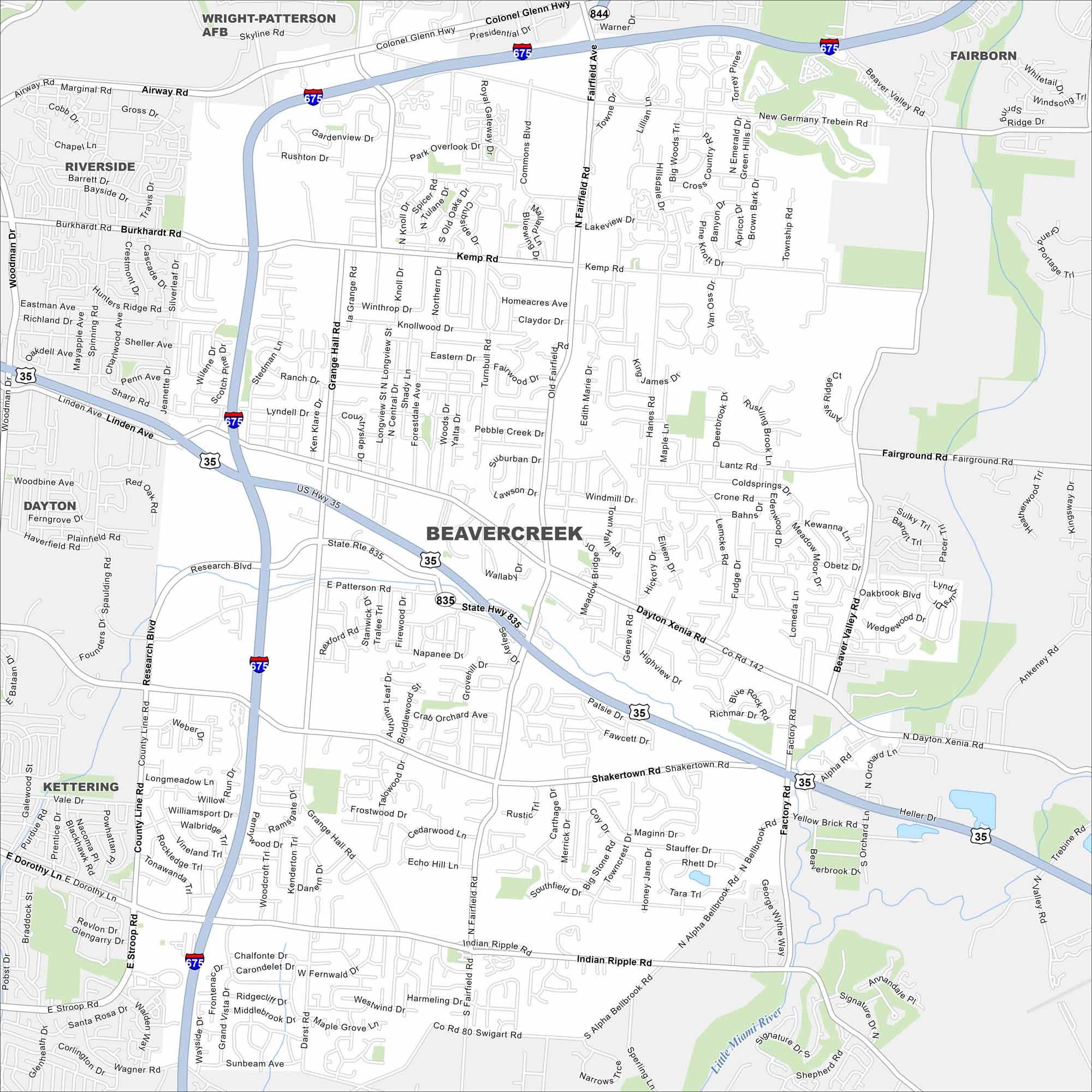
This street map of Beavercreek highlights highways and easy access to nearby Dayton. Learn about how it’s become a growing suburb with plenty of parks to spare.
Map Information
On the Map
Interstates/Highways: I-675, US Hwy 35, State Rte 835, State Rte 844 Major Roads: Dayton Xenia Rd, Indian Ripple Rd, Fairfield Rd, North Fairfield Rd, Grange Hall Rd, Kemp Rd, Shakertown Rd, Alpha Bellbrook Rd, New Germany Trebein Rd, Lantz Rd, Factory Rd, Hanes Rd, Rodenbeck Rd, Research Blvd, Colonel Glenn Hwy, Fairground Rd, Narrows Rd, Skyline Rd, Presidential Dr, Commons Blvd Major Rivers: Little Miami River Nearby Communities: Riverside, Dayton, Kettering, Fairborn, Wright-Patterson AFBOhio State Maps
Check out our maps covering farmland or any of Ohio’s major cities.


City Maps of Ohio
Here are maps of Columbus and Ohio’s major cities


