Map of Alliance, Ohio
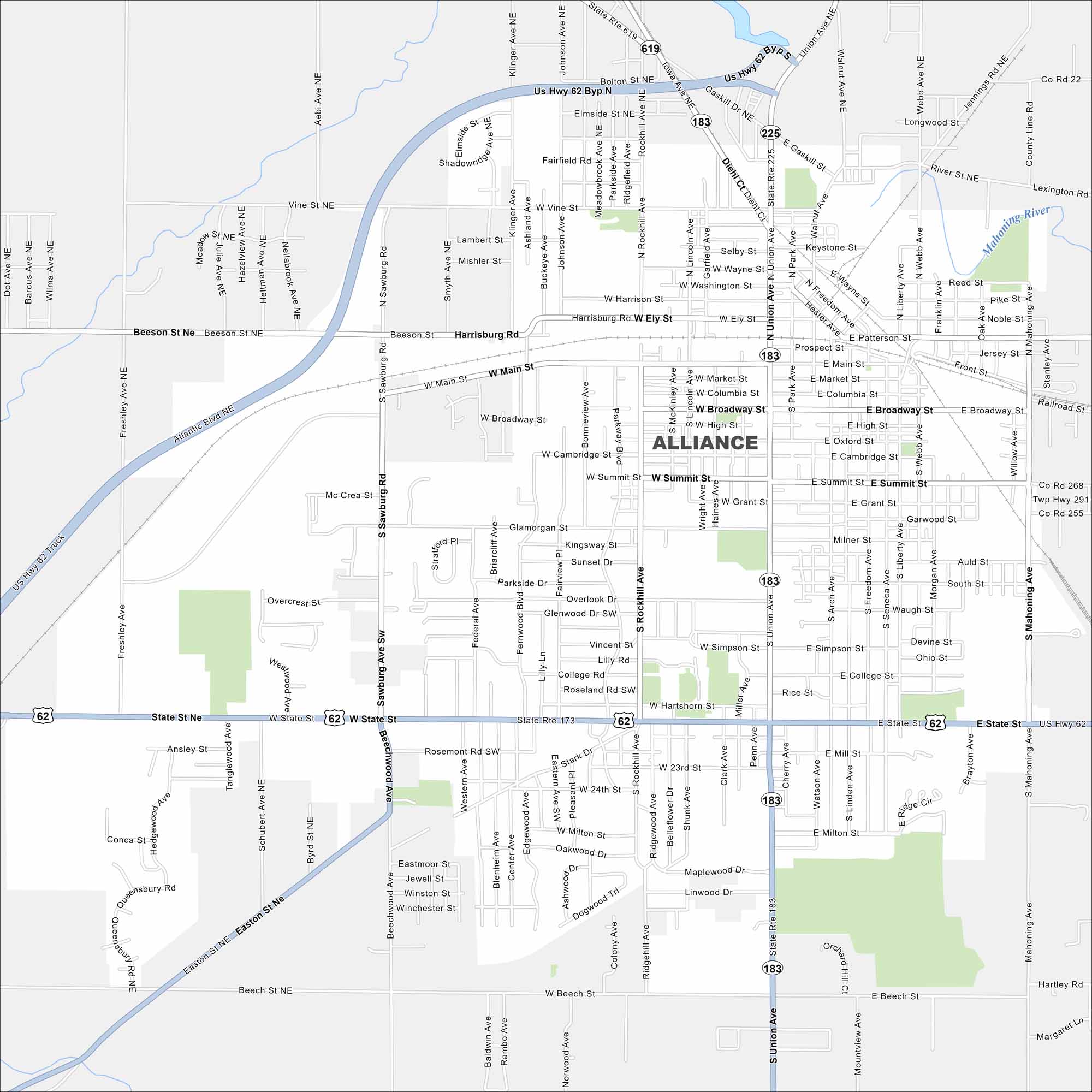
Alliance is a small city with streets that spread across Stark County farmland. Our map highlights its roads and neighborhoods.
Map Information
On the Map
Interstates/Highways: US Hwy 62, State Rte 173, State Rte 183, State Rte 225, State Rte 619 Major Roads: Main St, Union Ave, State St, Sawburg Rd, Beech St, Ely St, Broadway St, Market St, Summit St, Milton St, Gaskill Dr, Rockhill Ave, Johnson Ave, Klinger Ave, Atlantic Blvd, Beeson St, Patterson St, Freedom Ave, Webb Ave, Mahoning Ave Major Rivers: Mahoning River Nearby Communities: LexingtonOhio State Maps
Check out our maps covering farmland or any of Ohio’s major cities.


City Maps of Ohio
Here are maps of Columbus and Ohio’s major cities


