Map of Avon, Ohio
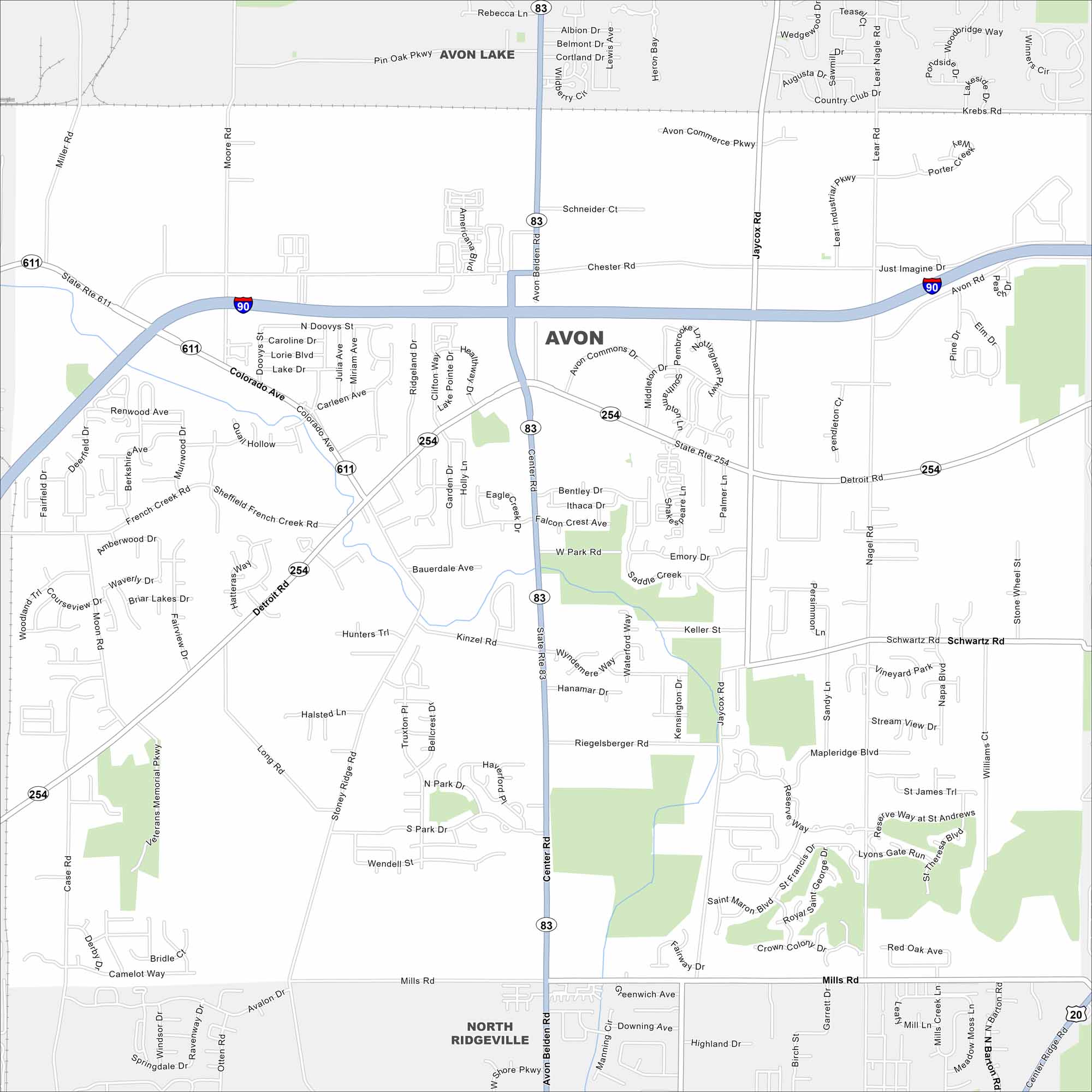
Our map of Avon shows the highways, streets, and green areas. Roads link toward Cleveland, specifically Interstate 90. Avon is part of Lorain County and close to Lake Erie.
Map Information
On the Map
Interstates/Highways: I-90, US Hwy 20, State Rte 83, State Rte 254, State Rte 611 Major Roads: Center Rd, Detroit Rd, Colorado Ave, Mills Rd, Chester Rd, Nagel Rd, Jaycox Rd, Lear Rd, Moon Rd, Case Rd, Moore Rd, Miller Rd, Schwartz Rd, French Creek Rd, Elizabeth Ave, Stoney Ridge Rd, Riegelsberger Rd, Kinzel Rd, Avon Belden Rd, Middleton St Nearby Communities: Avon Lake, North RidgevilleOhio State Maps
Check out our maps covering farmland or any of Ohio’s major cities.


City Maps of Ohio
Here are maps of Columbus and Ohio’s major cities


