Map of Canton, Ohio
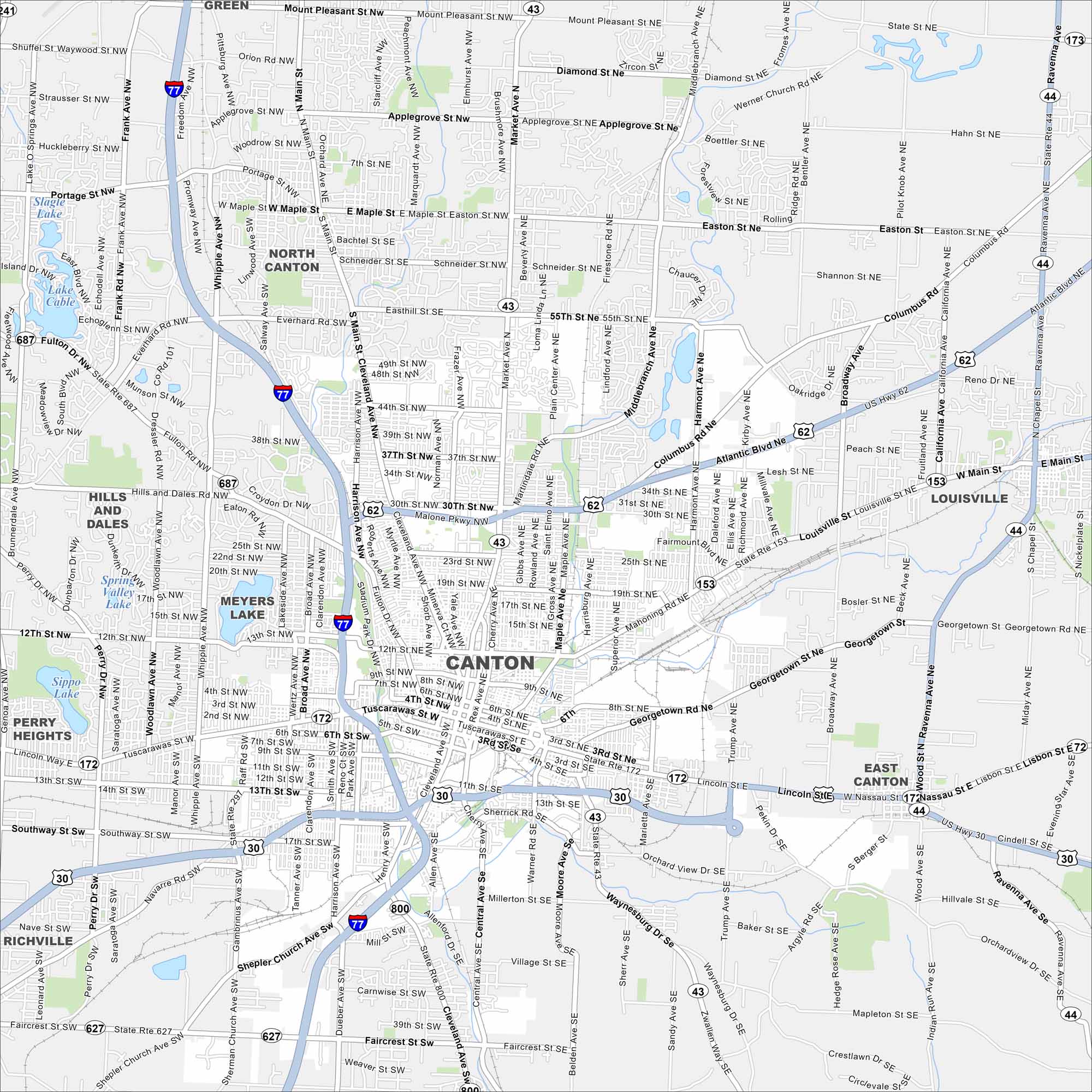
Canton is a city in northeast Ohio. Our map shows its streets, parks, and lakes. It’s well known as the home of the Pro Football Hall of Fame.
Map Information
On the Map
Interstates/Highways: I-77, US Hwy 30, US Hwy 62, State Rte 43, State Rte 44, State Rte 153, State Rte 172, State Rte 241, State Rte 297, State Rte 627, State Rte 687, State Rte 800 Major Roads: Tuscarawas St, Market Ave, Cleveland Ave, Main St, 12th St, 30th St, Applegrove St, Everhard Rd, Whipple Ave, Raff Rd, Harrison Ave, Georgetown Rd, Atlantic Blvd, Mahoning Rd, Sherrick Rd, Warner Rd, Navarre Rd, Faircrest St, Shepler Church Ave, Trump Ave Lakes and Reservoirs: Slagle Lake, Lake Cable, Spring Valley Lake, Meyers Lake, Sippo Lake Nearby Communities: North Canton, Louisville, East Canton, Richville, Perry Heights, Hills and DalesOhio State Maps
Check out our maps covering farmland or any of Ohio’s major cities.


City Maps of Ohio
Here are maps of Columbus and Ohio’s major cities


