Map of Findlay, Ohio
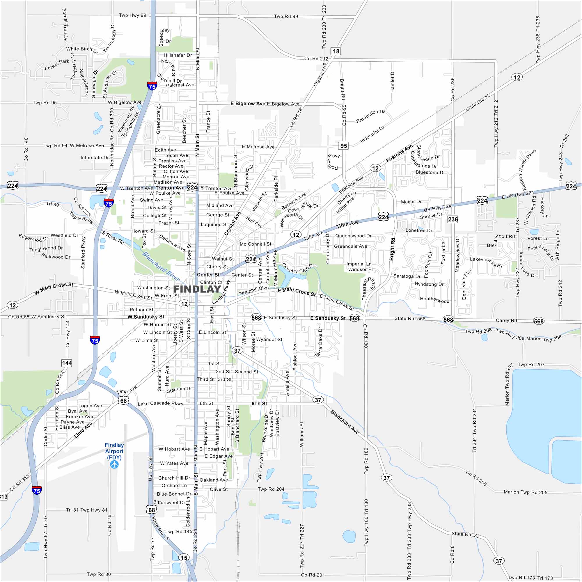
Findlay is on the banks of the Blanchard River in northwest Ohio. The river curves through the downtown area. That winding waterway is the most defining feature here. But there’s also lots of parks and natural features as well.
Map Information
On the Map
Interstates/Highways: I-75, US Hwy 224, US Hwy 68, State Rte 12, State Rte 37, State Rte 15, State Rte 568 Major Roads: Main St, Tiffin Ave, Fostoria Ave, Main Cross St, Sandusky St, Lima Ave, Bright Rd, Western Ave, Broad Ave, Blanchard St, Crystal Ave, Bigelow Ave, Melrose Ave, Trenton Ave, Foulke Ave, Front St, Putnam St, Hardin St, Lincoln St, Hobart Ave Airports: Findlay Airport (FDY) Major Rivers: Blanchard River Parks and Preserves:Ohio State Maps
Check out our maps covering farmland or any of Ohio’s major cities.


City Maps of Ohio
Here are maps of Columbus and Ohio’s major cities


